|
||||||||||||||||||
|
||||||||||||||||||
Home > Diaries > 2015 > 489 |
||||||||||||||||||
|
||||||||||||||||||
|
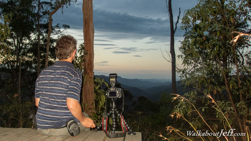
STARTING from Mapleton Falls on a three day trek to complete the Sunshine Coast Hinterland Great Walk, it was a long journey through rainforest across part of the plateau of the Blackall Range before heading along a long spur covered in very fall eucalypt forest to our first campsite at Ubajee. Just below the campsite was a view down the length of the Gheerulla Valley where we will be hiking tomorrow. After setting up camp I watched the sunset from the viewpoint, taking some long exposure shots as the sky quickly darkened with the onset of night. Trek from today: Blog from today: |
||||||||||||||||||
|
||||||||||||||||||