|
||||||||||||||||||
|
||||||||||||||||||
Home > Diaries > 2017 > 637 |
||||||||||||||||||
|
||||||||||||||||||
|
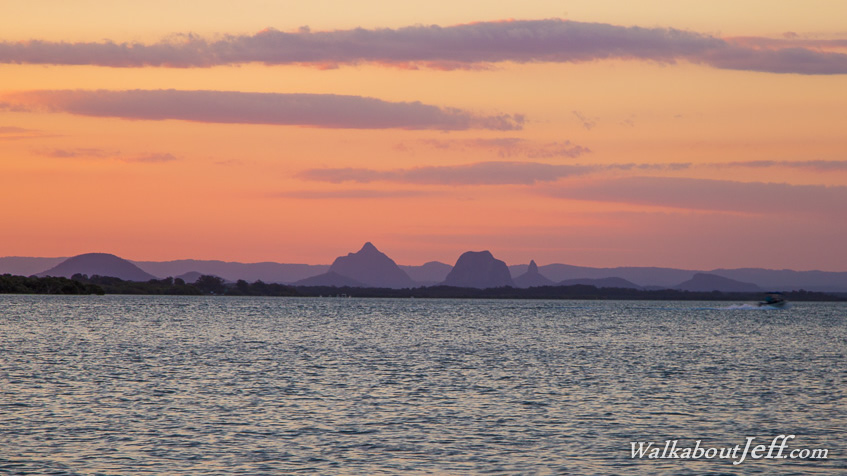
EXPLORING the southern west coast of Bribie Island, I headed up to the top of White Patch at the edge of the national park and headed down passing the canal estates towards the island's only bridge to the mainland. I watched the sun set over the sheltered waters of Pumicestone Passage from Kokoda Beach. Looking across to the distinctive peaks of the Glasshouse Mountains with the flat plateau of the Blackall Range behind them. |
||||||||||||||||||
|
||||||||||||||||||