|
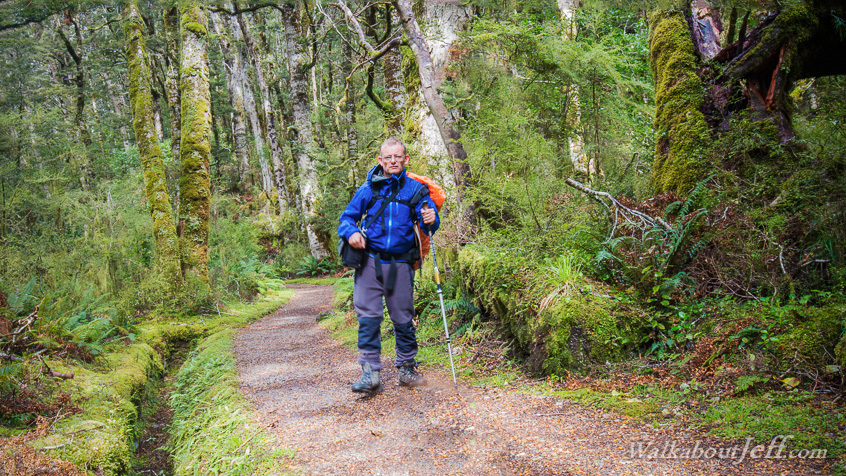
LEAVING Moturau in the early morning, I reached the Iris Burn and followed it upstream along a long glacial valley through spectacular forest.
The cloud overhead thickened until drizzle began falling, fortunately only a shadow of the heavy rain falling in the fiords on the other side of the mountains.
The track gradually ascended to its highest point here at a small saddle, before steeply descending into a tussock flat at the Iris Burn Hut. Shortly after my arrival the rain became moderately heavy, but I was sheltered in the dry hut.
|