|
THE RAIN eased just before dawn, clearing the way for me to take the steep ascent from Iris Burn up to the peaks above the bushline.
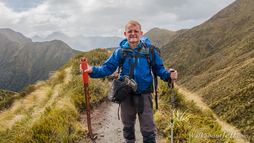
Once on the exposed tops the wind blew strong bringing the occasional squall, initially with sleet, then as I contined ascending, snow flakes. The ground was too warm for the snow to settle through. The track rose and descended for several hours over and around the Jackson Peaks with spectacular views of Lakes Te Anau and Manapouri when the clouds cleared.
Finally after reaching Luxmore Peak, the track descended moderately to a large plateau where the welcome Luxmore Hut was nestled. Over a vertical kilometre below the hut was Te Anau, the first sign of civilisation in several days.
|