|
MY FINAL morning on the Kepler Track dawned clear and very cold, the temperature around -6 degrees.
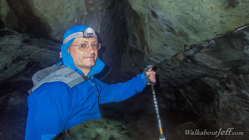
Before starting the 800 metre descent to Lake Te Anau, I took a side track into the Luxmore Cave, just one of numerous cave systems formed as part of a coastal flat before being uplifted to its present altitude with the dramatic formation of the Fiordland mountainscape.
After exploring the cave I followed the main track over the tussock flats before traversing across dramatic limestone karst formations, then changing forest to the placid shores of Brod Bay, from where I caught a boat back to Te Anau.
|