|
||||||||||||||||||
|
||||||||||||||||||
Home > Diaries > 2021 > 906 |
||||||||||||||||||
|
||||||||||||||||||
|
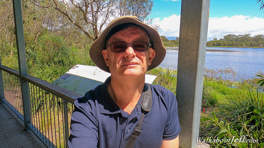
STARTING at Sandgate's Second Lagoon, I follow the trail around the lake occasionally stopping to watch the abundant birdlife, many have migrated from Siberia and Alaska to escape their harsh winters. Upon reaching the far side of the lagoon I follow the road over a low hill to the much larger Third Lagoon, which is more of a swamp than a lagoon as its surface is mostly covered in high grass so despite walking around to the other side of it I don't have any views of the water. The track passes between the huge gum trees eventually reaching a bridge crossing the Deagon Deviation along which a bunch of trucks are blaring their horns in some sort of protest convoy. Once over the Deagon Deviation, the path descends to join the Deagon Deviation bikeway (also walkway) which follows the road up to the bridges crossing to the Redcliffe Peninsula. I follow this path for several kilometres with busy traffic to my right and pristine forest descending to Bracken Ridge Creek, quickly filling with the tide. The forest eventually clears into lowland grass and ahead of me I see the bridges. Shortly afterward I reach the end of the path at the entrance to the old Hornibrook Highway Bridge where I briefly relax before following the Brighton Foreshore path under the bridges and ascending a loop to the wide walkway on the Ted Smout Memorial bridge. From here I start the three kilometre trek towards the Redcliffe Peninsula on the other side of the bridge. Cloud covers the sky as I head out crossing the deep estuary of the mouth of Pine River. Nearly half way across the bridge is a large fishing platform where I descend to and relax as the pigeons stand on the rails perhaps attracted by the smell of fish pervading this platform. After resting at the fishing platform, I go back onto the main bridge and continue following it until eventually reaching the far end at Clontarf, where I descend to the waterfront and briefly rest at the platform marking the start of the old Hornibrook Bridge. From the platform I return across the bridge as the cloud thickens. I do not stop on this 3 kilometre return trip eventually reaching Brighton. By now the tide is going out exposing some of the sand flats as I follow the path along the coast towards Sandgate. This path is quite busy with a lot of locals doing their afternoon walk. Fortunately the path is very wide. The tide is quickly going out revealing extensive flats over Bramble Bay. A few people are flying kites but the sea breeze isn't strong today. I reach a new section of path that had been closed and under reconstruction when I last passed through here just a few weeks ago. Brighton becomes Sandgate as I continue following the path, getting close to the low cliffs of Shorncliffe at the end of which the famous jetty stands. I leave the track at Third Avenue, following it into the centre of Sandgate where I walk around the very small First Lagoon, a bit green from an algal bloom. From there I return into the town to explore its main street for a while before returning to First Lagoon passing it and going over a low hill back to my starting point at Second Lagoon. The cloud is clearing and the late afternoon sun is coming out, so I do a victory lap hiking around the lagoon watching the birds at the different platforms and pagodas. |
||||||||||||||||||
|
||||||||||||||||||