|
||||||||||||||||||
|
||||||||||||||||||
Home > Diaries > 2021 > 909 |
||||||||||||||||||
|
||||||||||||||||||
|
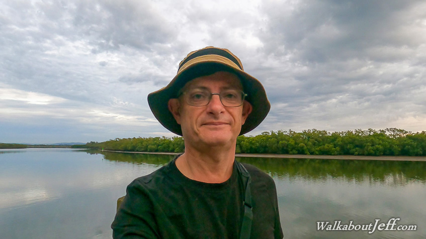
BEFORE first light I started at the Wyampa Bridge crossing of the Gateway Motorway exploring a new subdivision before following an obscure road underpass under Bruce Highway which came out at the Barungwarra Boat Ramp. At first light I followed the tracks back to my starting point and crossed over the Wyampa Bridge under an overcast sky of spectacular clouds as the day lightens. I spotted a brown snake near the top of the bridge trying to warm itself up, but quickly slithered away upon hearing me coming - this was the first time I have seen two snakes in one weekend. At the end of the path I reached the entrance of Tinchi Tamba Wetland, where I stopped on the boardwalk overlooking Pine River. From here I headed heading downstream to cross the boat ramp. The main circuit boardwalk began just after the boat ramp. I followed it winding through the mangroves and occasionally reaching the edge of the river. The boardwalk gave way to a sandy path passing through lush wetland paperbark forest in the low peninsula between Pine River and Bracken Ridge Creek. The track swung around through the middle of the peninsula before doubling back to complete the loop. Once back on the boardwalk I followed it through the mangroves for a short distance before turning off to follow the bird hide walk. It initially passed through the forest before reaching a clearing where it crossed a dirt road. I followed this dirt road back onto the small peninsula passing through the middle of the clearing where a large number of kangaroos sat silently, some bouncing away as I approached them. The clearing was quite large, but I eventually reached the far end at a water tank before the dirt road entered the forest. There were more kangaroos in the forest. After a hundred metres the track came out on another clearing, more of a salt flat than the grassy clearing I had earlier crossed. The track continued a few hundred more metres before joining another one following the salt flat along Bracken Ridge Creek. This quickly ended at a thicket of mangroves. Here I doubled back and followed the track winding its way along the edge of the forest near Bracken Ridge Creek, eventually returning to the big clearing which I crossed before taking the bird hide creek up to the bird hide. I stopped at the bird hide for a while looking over Bracken Ridge Creek as the tide silently came in. There were no birds to watch from here, so I returned along the track and followed the path along the road back to Wyampa Road Bridge. Once over the bridge I followed a path roughly following the Gateway Motorway towards the airport. It turned right to follow the large pools of the Bracken Ridge Creek now above the high tide line with lush grass growing to its edge. I followed this until reaching a bridge and crossed a major road before continuing along the path, which is the main bikeway and walkway to Sandgate and to Redcliffe. I followed this track a couple of kilometres before reaching a brightly painted underpass, then diverted back to an underpass leading to the start of the Deagon Deviation bikeway/walkway. From here I took the path back to Wyampa Bridge. |
||||||||||||||||||
|
||||||||||||||||||