|
||||||||||||||||||
|
||||||||||||||||||
Home > Diaries > 2023 > 1044 |
||||||||||||||||||
|
||||||||||||||||||
|
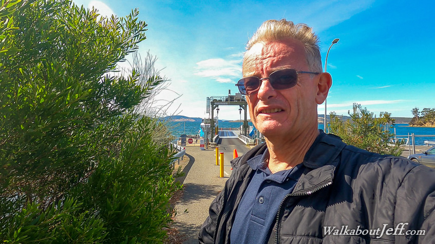
TAKING another tour from the Hobart Waterfront, this one headed southwest across the side of Mount Wellington over a saddle before dropping down to Kettering from where we caught a ferry across the shallow harbour to Bruny Island. Upon reaching the other side the bus continued along the sealed road heading through the middle of the hilly island, occasionally dropping to the calm waters of the coast facing the Tasmanian mainland. Soon we were following the coast almost constantly before stopping at the the Truganini Lookout and Rookery, a popular penguin area (though the penguins would be out at sea now). A wooden stairway headed up a moderately steep sand hill. Looking back I could see the island narrowed to a very thin neck extending about a kilometre towards the southern end of the island which dramatically windened into more hill country. I reached the lookout and got great views across the Southern Ocean to the east and the calm waters between the island and Tasmanian mainland to the west. Mount Wellington towered in the distance marking the location of Hobart. Another walkway headed across the neck to another viewing platform where penguins could be viewed coming in and out of the ocean at dawn and dusk. Returning down the stairs I didn't have enough time to head out to the other lookout. Back on the bus we continued heading along the length of The Neck onto the southern part of the island. The winding road initially passed through forest before coming out at Adventure Bay where numerous small holiday homes sat on their lifestyle blocks. After stopping at a cafe for morning tea, we headed to the beach to a jetty where we climbed into two speed boats very similar to the ones we used to go to Tasman Island two days ago. Heading out around the first point the swell was quite rough making for a very bumpy ride. Once around the headland we were travelling with the wind and swell so the trip wasn't rough at all. Coming back later today will be a completely different story though. Heading southward along the coast of high cliffs, we occasionally pulled in to check out a cave or pillar or other interesting landforms from the dolerite rockforms. At one point we passed a narrow channel between a high cliff and a towering pillar known as The Monument. We stopped here looking up at the very tall cliffs nearly as high as the ones we had seen near Tasman Island the other day. Continuing along the coast we made stops at a large blowhole, an island with a hole in it (Arch Island), and a couple of small seal colonies. Eventually we reached the bottom of the island from where we could see across to mainland Tasmania and see further down the coast to its southernmost point at South East Cape. From the bottom of Bruny Island, we headed out about a kilometre due south to The Friars, a group of islands with a large seal colony. We cruised around a couple of the islands watching the seals before starting to head back towards Adventure Bay. As expected the trip back was quite rough with a strong head wind and a head swell. We were a fair way offshore speeding past the cliffs with the first headland gradually approaching. Eventually we did round the headland into the relatively calm waters of Adventure Bay returning to the jetty. Once back on shore we returned to the restaurant for a late lunch before making our way back to the ferry and then back into Hobart. Being my final evening in Hobart, I once more explored the waterfront and some of the parks in the area which I had not previously explored. |
||||||||||||||||||
|
||||||||||||||||||