|
New Zealand
|
|
|
|
|
|
About this Page
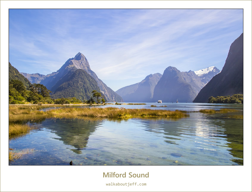
Date:
Location:
Country:
Latitude:
Longitude:
Altitude: |
27 February 2017
Milford Sound
New Zealand
44°40'16"S
167°55'30"E
Sea level |
Google Maps Link
|
|
|
|
|
|
THE MIDDAY high tide on this calm sunny day reflected the mile high mountains rising vertically out of the sea. Milford Sound once had a glacier running through it towards the Tasman Sea.
Other photos from New Zealand
| |
| |
 |
Toadstools on the sand |
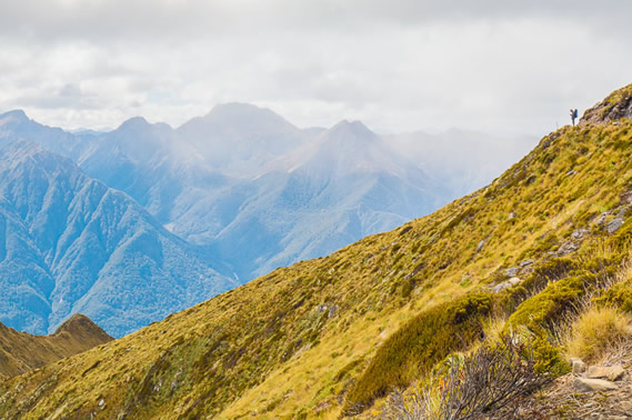 |
Getting his bearings in the rugged mountains |
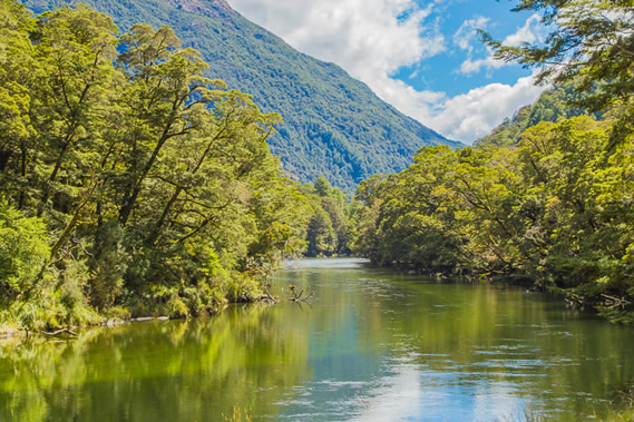 |
The peaceful Clinton River |
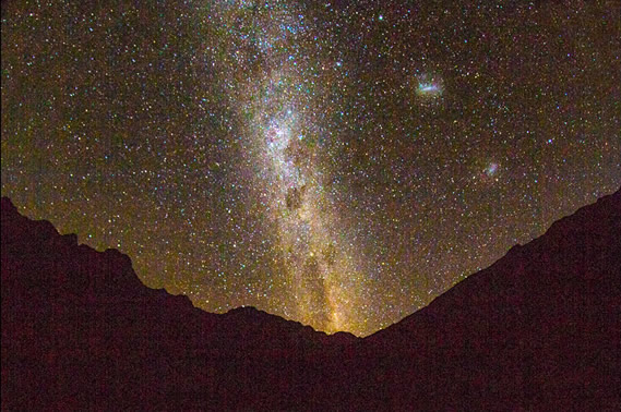 |
Milky Way and the Magellanic Clouds at Clinton Hut |
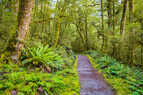 |
Solitude on the Milford Track before the hikers pass |
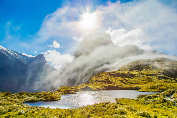 |
Mackinnon Pass ghostly clouds |
 |
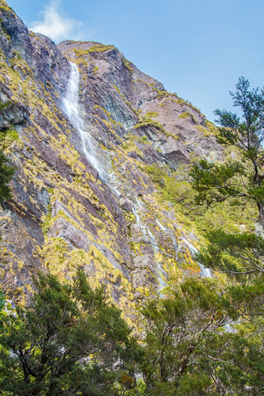
Giant Gate Falls |
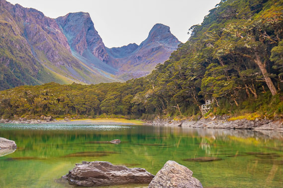 |
Turquoise reflections on Lake Mackenzie |
 |
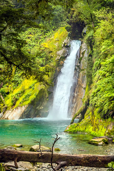
Earland Falls |
|
|
|
|
|
|