Introduction to today's journey
Today's journey continues along the Sydney Coast Trail from Mona Vale Beach following the Bicentennial Coast Track continuing southward over more headlands and crossing several long beaches to Manly Beach.
Distance hiked today: 21.4km
Total distance hiked: 42.2km
Today's Journey
 |
A strong headwind continues to blow this morning keeping the beaches closed to surfing and swimming. Despite this, I set off from where I left off yesterday along Mona Vale Beach. |
 |
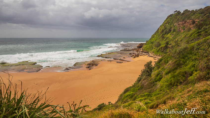
At the end of the beach I rejoin the Bicentennial Coastal Walk winding its way over the rugged Turimetta Head. |
 |
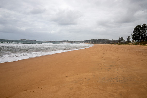
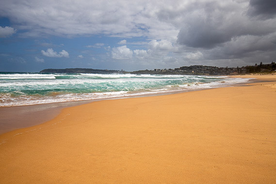
The track continues following the top of the cliffs above Turimetta Beach as large waves roll on the golden sand below. In the far distance I can now see Manly Head tucked away behind Long Reef Point. I am aiming to finish today's hike just before Manly Head and there's still a long way to go. |
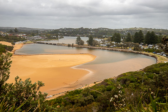 |
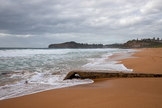
From here the track descends towards Narrabeen Lakes at the start of the long sweeping Narrabeen Beach after crossing the bridge. |
 |
This is the longest beach on the north shore, sweeping about four kilometres to where it ends near the start of Long Reef. Apart from the very occasional walker, this beach is completely abandoned today. |
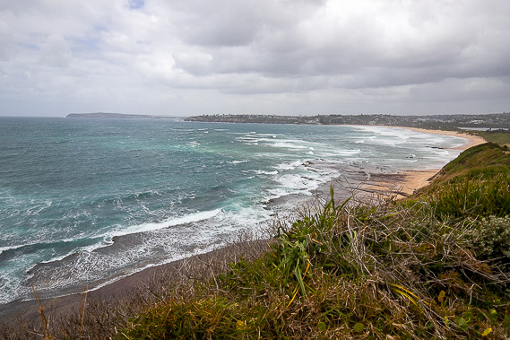 |
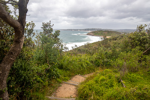
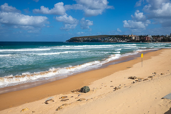
The track heads around Long Reef Headland now with a clear view to Manly Head, with the entrance to Sydney Harbour just on the other side of it. From here the track descends to cross Dee Why Beach. |
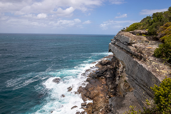 |
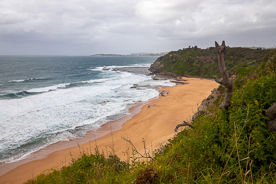
After following the beach, the track follows the long and rugged headlands to Dee Why Head. Most of these rockes are layers of sandstone being heavily eroded by the ocean swell of the Tasman Sea. |
 |
The track descends to Curl Curl Beach where I follow its golden sand as the clouds start to clear, the wind begins to drop, and the sun comes out. |
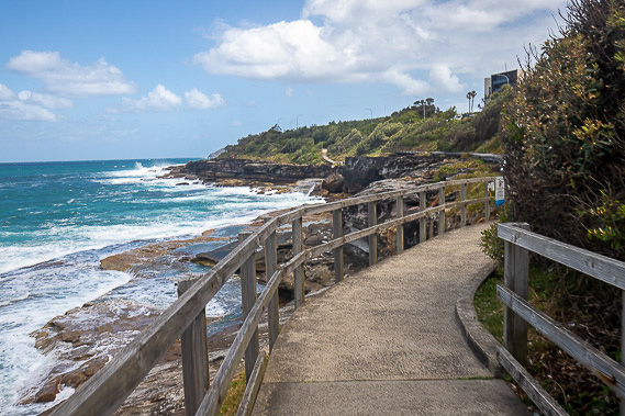 |
A constructed walkway heads around Brad's Point making easy progress over the rocks before crossing the small Freshwater Beach. |
 |
After crossing another headland, the track descends to a wide path running along the length of Manly Beach. This normally popular beach is still closed from the rough swell. I reach the main town centre of Manly, marking the end of today's hike and my two day hike completing the Bicentennial Coastal Walk along Sydney's northern beaches. |
|