Introduction to today's journey
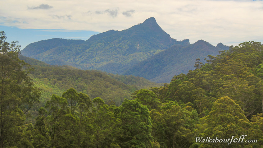
Today's journey heads to the centre of the Tweed Volcano to climb to the summit of Wollumbin (Mount Warning).
Today's Journey
 |
From Murwillumbah, I follow the Tweed River upstream through the middle of the huge caldera. |
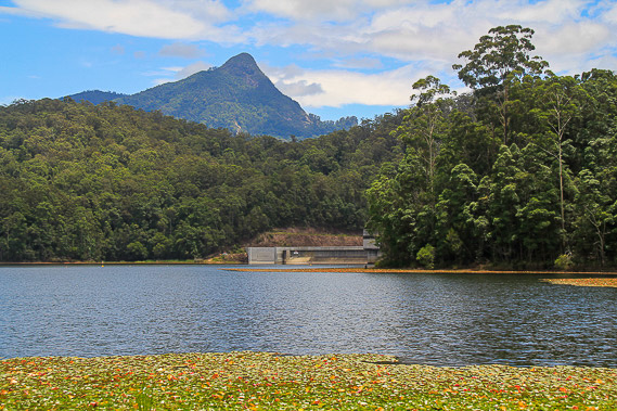 |
I do a warm-up walk along a walking track at the Clarrie Hall Dam with the mountain towering overhead on the other side. |
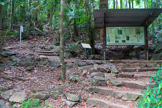 |
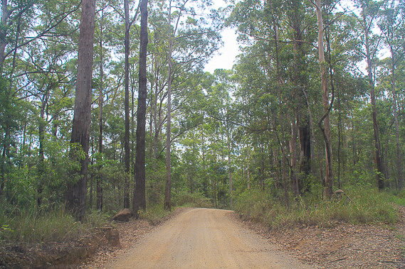
From the dam I head to the start of the Mount Warning summit trail and start the long climb towards the top of the mountain. |
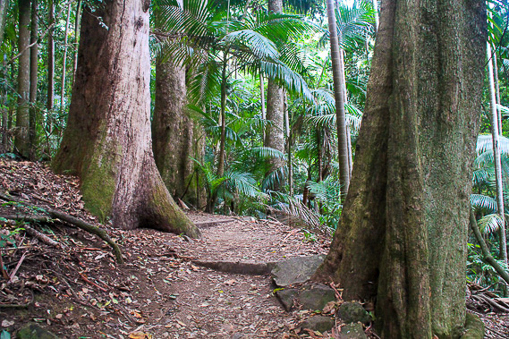 |
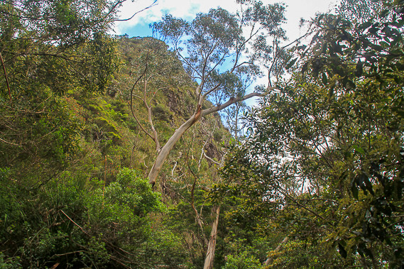
The track winds its way through dense rainforest on the steep slopes of the mountainside. |
 |
The track is moderately steep, wasting no time in gaining altitude. |
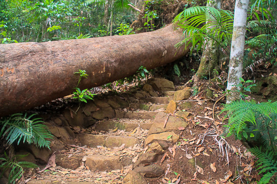 |
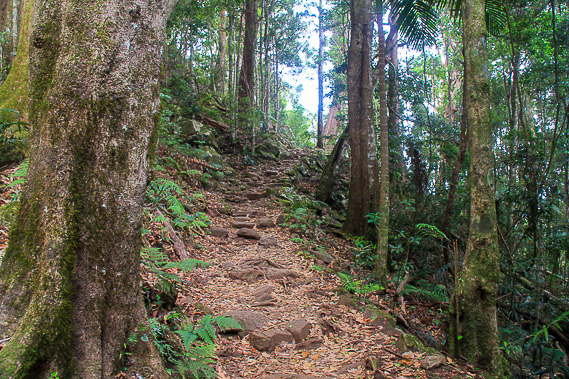
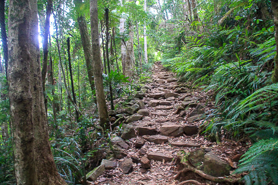
Much of the track is staired winding its way between the trees and rocks as it continues uphill. |
 |
The forest gets thinner and the track steeper as I continue heading uphill. |
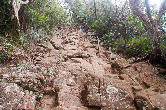 |
The last section towards the summit is a steep rock wall with a chain to help pull me up this otherwise difficult slope. |
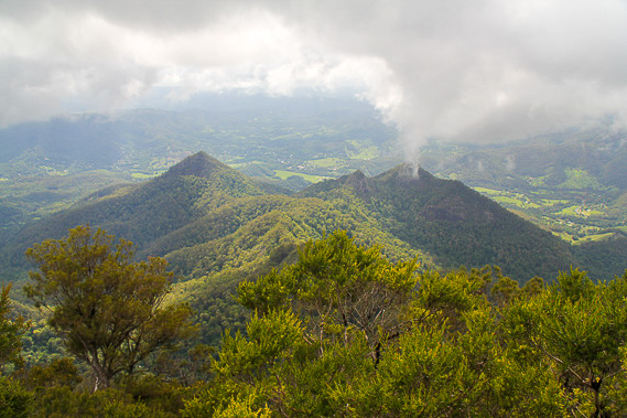 |
The views around the volcano from the scrubby summit are amazing. The walls of the caldera crater are just visible through the low clouds forming a large ring around the mountain. The bright green fertile farmland of the Tweed Valley lies far below. |
 |
From the summit I descend initially down the rocky surface before going down thousands of stairs back to the carpark before heading back to Murwillumbah. |
|