Introduction to today's journey
Today's journey heads westward through the middle of the Tweed Volcano and over its edge, reaching Kyogle before turning northward around the outer edge of the volcano to cross the border into Queensland over a saddle where the Tweed Volcano meets a smaller volcano centred around Mount Barney.
Today's Journey
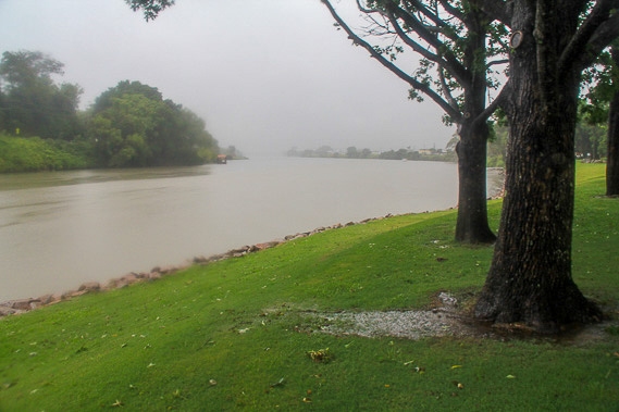 |
Heavy rain has fallen in Murwillumbah overnight swelling the Tweed River. If much more rain falls the banks will burst into the frequently flooded river. |
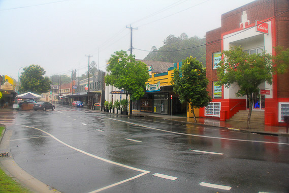 |
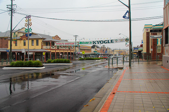
The town centre is very damp as I depart heading westward through the Tweed Valley. |
 |
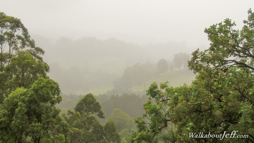
Mount Warning is completely hidden in the cloud, but some of it clears a little as I reach the western end of the crater resting at this lookout before continuing westward. |
 |
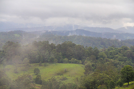
Heading a little further westward, I reach Kyogle in the middle of a floodplain at the centre of what was once one of the largest caldera supervolcanoes in the world, erupting around 250 million years ago and not thought to have contributed to the great dying at the end of the Permian along with the Siberian flood basalt eruptions. |
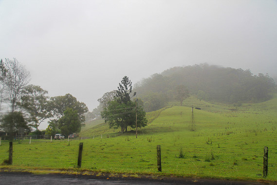 |
Heading north from Kyogle, the misty cloud covers the hills as I approach the start of the outer Tweed Volcano remnants. |
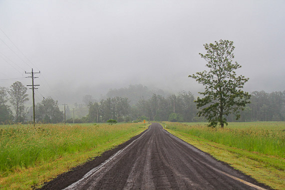 |
The road continues through farmland until eventually starting to ascend over the Border Ranges. |
 |
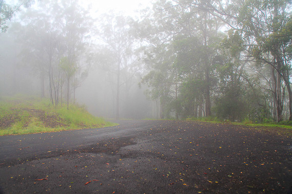
I stop at the top of the range on the border between New South Wales and Queensland. Looking down the Queensland side, I see the Brisbane to Sydney railway line rising through the forest before heading through a tunnel under me. New South Wales uses a wider gauge railway than Queensland, so this is the only line going to Brisbane with the wider tracks. |
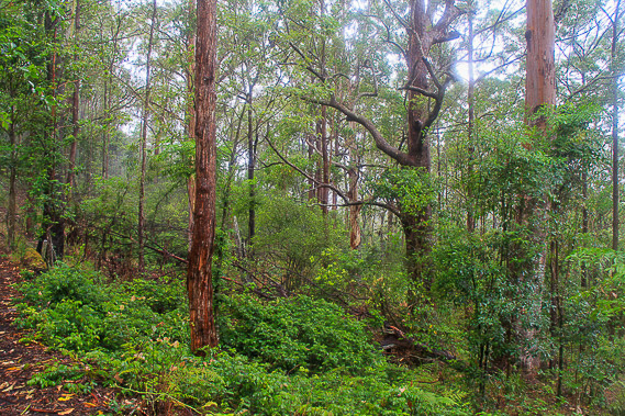 |
I follow the Border Loop Track through the schlerophyll forest as rain continues to fall. |
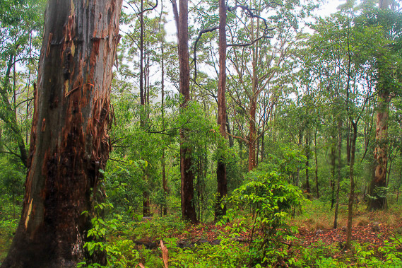 |
The trail goes through the lush forest on a small loop before returning to the saddle. |
 |
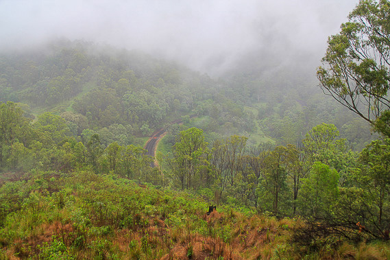
From the saddle, I descend into Queensland through rock formations from both the Tweed Volcano, and the Mount Barney volcano to the north. |
|