Introduction to today's journey
Today's journey explores the base of Mount Barney before returning to the Tweed Volcano heading up its slopes to O'Reillys in the Green Mountains and exploring a dramatic section of the shield volcano.
Today's Journey
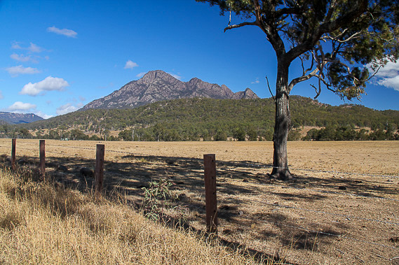 |
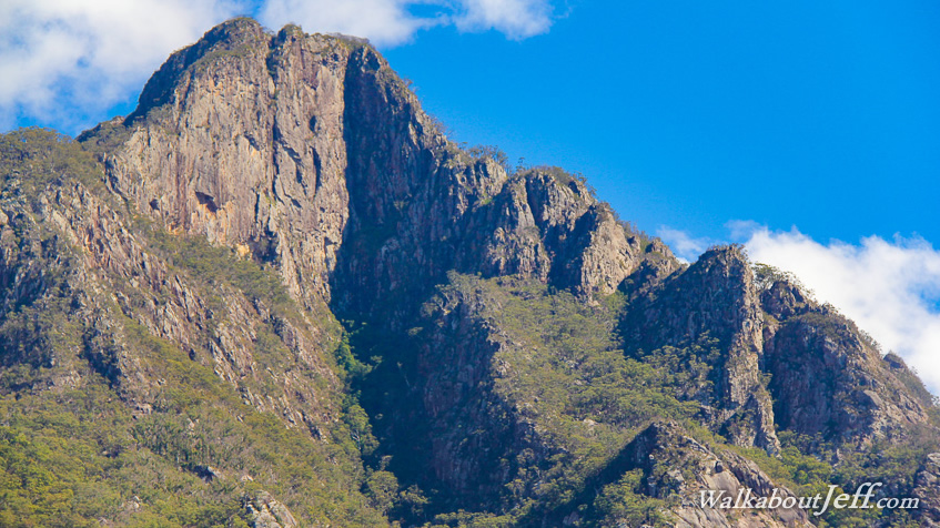
The rain has cleared as the morning dawns fine. I head eastward towards Mount Barney, the tallest mountain in South East Queensland standing 1359 metres above sea level. |
 |
I follow the Upper Logan Road walking track around the base of the mountain. |
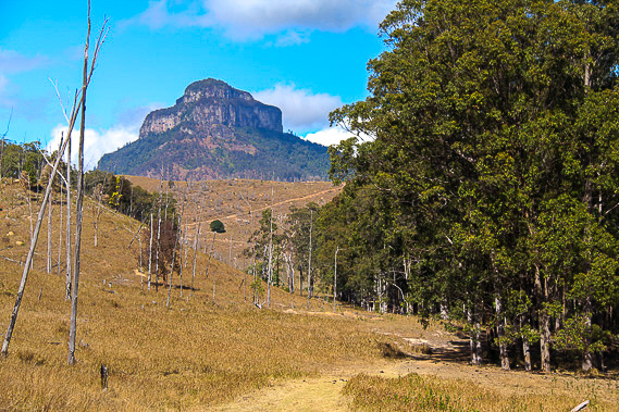 |
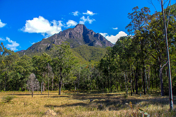
The striking peak of Mount Lindsay rises in the distance, a lone remnant of the Mount Barney volcano shield. |
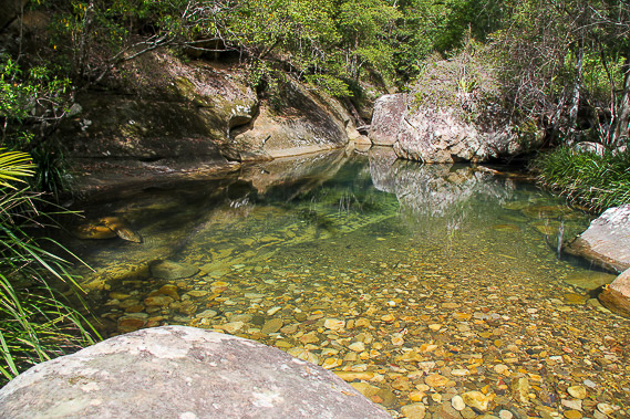 |
I reach a pool near the source of the Logan River near the start of the summit tracks towards the top of the mountain. This is as far as I go. |
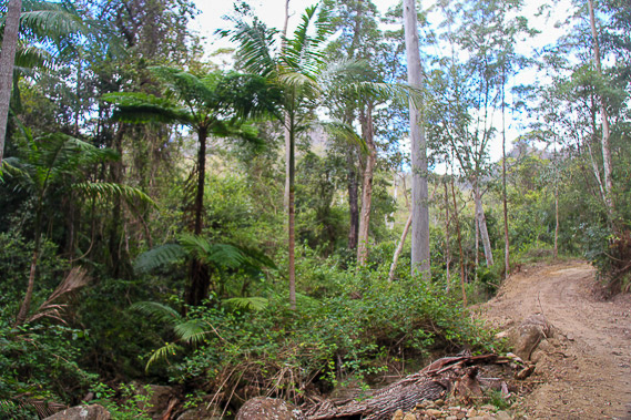 |
Returning through the forest around the mountain, the track is in good condition. |
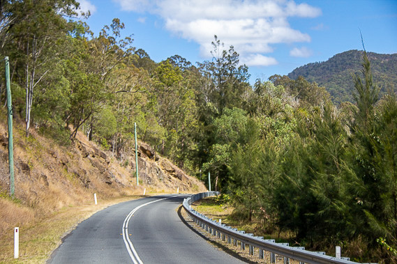 |
From Mount Barney, I head eastward to Canungra before climbing nearly 800 metres by road to O'Reillys. |
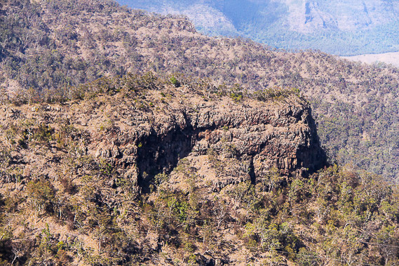 |
Upon arriving at O'Reilly's I follow one of the trails to Python Rock lookout to view across the eroded shield volcano. The bush here is very thin. |
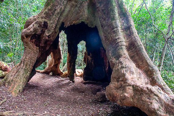 |
The trail passes right through the base of the enormous Wishing Tree as it passes Hidden Gully. |
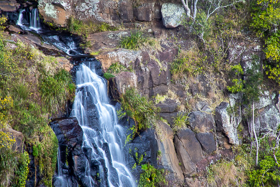 |
Returning to the edge of the cliffs, I pass Moran's Falls tumbling down to the valley floor far below. |
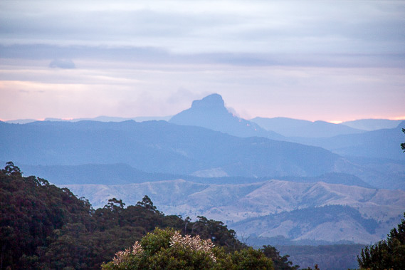 |
I return to the cabins at O'Reillys just on sunset to see the sky turn pink in the distance behind Mount Lindsay. |
|