Introduction to today's journey
Today's journey descends to the headwaters of Canungra Creek, following Toolona Creek upstream passing numerous waterfalls until reaching the Antarctic beech forest at the edge of the crater where I follow the border track back to O'Reillys.
Today's Journey
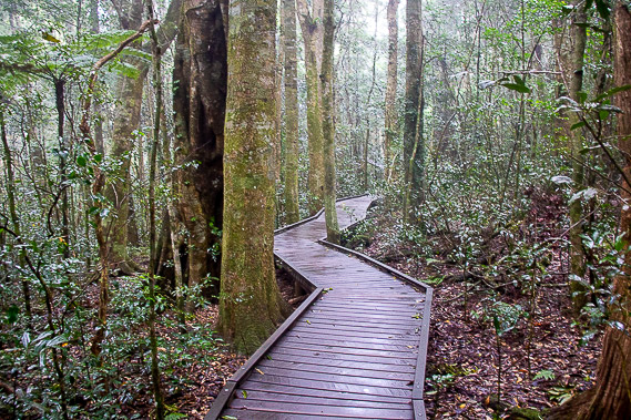 |
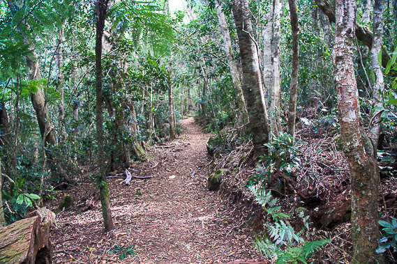
Thick mist covers the plateau as I set off at around sunrise following the tracks and boardwalks through the rainforest heading further into the Green Mountains. |
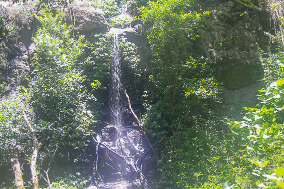 |
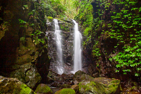
The cloud clears as I descend the Yeralahla Track passing Darraboola Falls. |
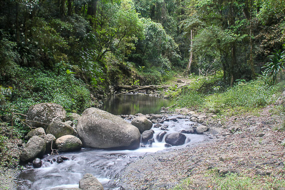 |
After descending 400 metres, I reach West Canungra Creek, which I will be following upstream to one of its sources. |
 |
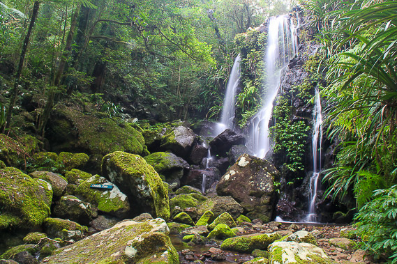
After following Canungra Creek upstream a couple of hours I reach Box Log Falls where I rest before continue upstream along Toolona Creek. |
 |
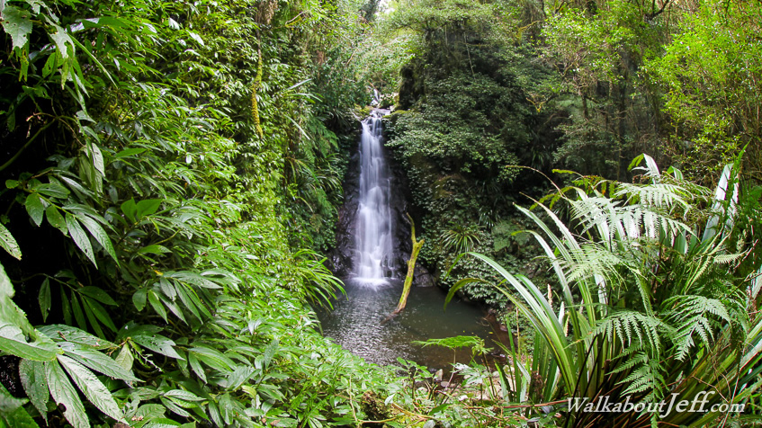
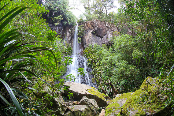
There are many beautiful waterfalls along Toolona Creek, Here I'm at Chalahn Falls, the most tranquil waterfall leaping off the edge of an outcrop. |
 |
Continuing upstream and several waterfalls later, I reach Toolona Falls tumbing over the edge of a hard layer of volcanic rock. |
 |
The stream continues to get smaller before disappearing altogether and the track leaves the dense rainforest to go into Antarctic Beech forest as I do the final climb up here to the Border Track at about 1160 metres above sea level, 640 metres above the elevation of the start of Canungra Creek. |
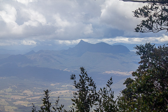 |
The border trail follows the edge of the Tweed Volcano caldera, with views across to Mount Warning and to the far side of the crater. |
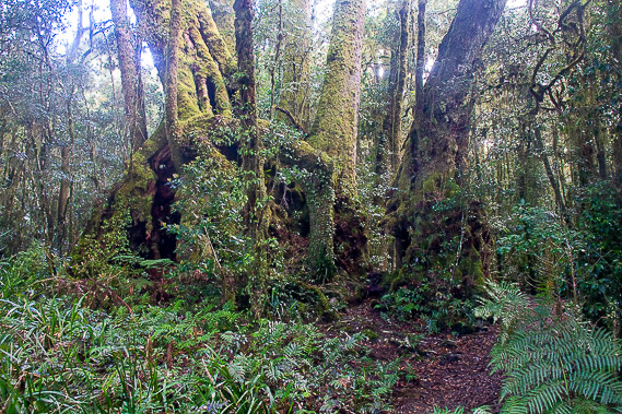 |
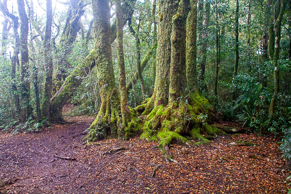
The forest here is mostly Antarctic Beech, some specimens are thousands of years old. |
 |
After crossing the 1180 metre high Mount Bithongabel, (the highest point of the volcano), the track descends along a long gradual ridge back to O'Reillys. |
|