Introduction to today's journey
Today's journey explores some of the trails around the eastern side of Binna Burra, including Dave's Circuit near the border, exploring more of the dramatic landforms and rainforest of the enormous shield volcano before descending to the Numinbah Valley for the night.
Today's Journey
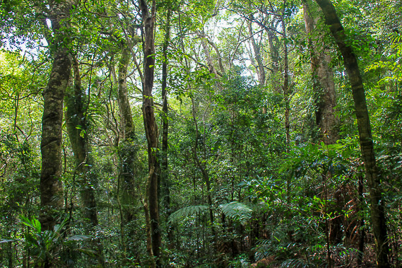 |
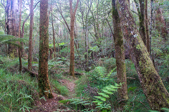
I return along the border trail in the morning turning off at Dave's Creek Circuit hiking through the dense rainforest. |
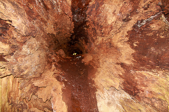 |
I pass a hollow log of a fallen tree. I can just see out the other end. |
 |
The forest become less dense as I continue along the circuit into more exposed terrain. |
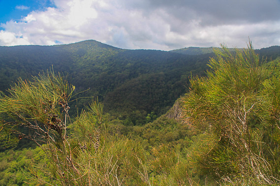 |
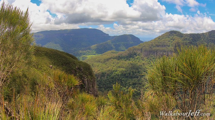
I eventually reach a lookout looking across the valley to the higher peaks at the edge of the crater on the Queenland/New South Wales border. |
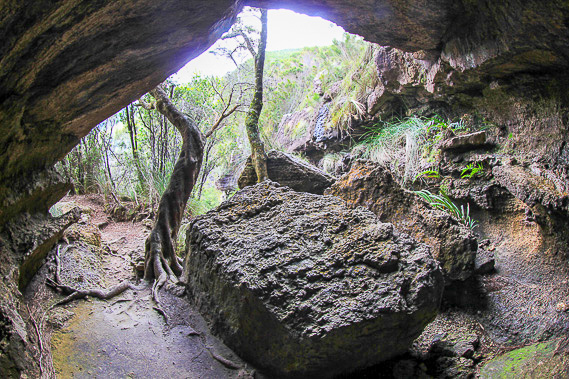 |
The track enters a volcanic cave where softer rock has eroded out to create a nice little shelter. |
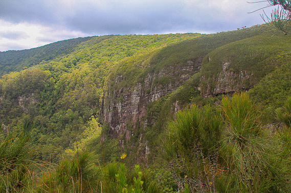 |
The track continues around the edge of the cliff as I advance around the circuit now approaching the edge of the Numinbah Valley. |
 |
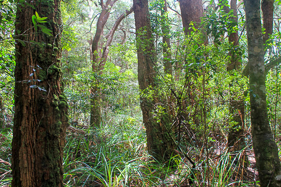
The forest near the edge of the cliffs is quite thin and open. |
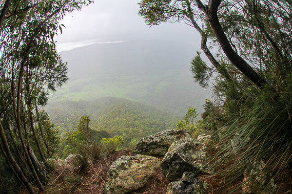 |
I reach another lookout with a clear view down to the Numbinbah Valley far below through the misty rain. |
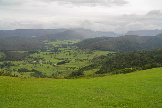 |
Returning to Binna Burra, I head back down the mountain road into lush pastures. |
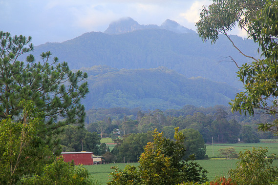 |
I turn into Numbinbah Forest and follow it up to the low saddle into New South Wales stopping briefly before returning into the valley for the night. |
|