Introduction to today's journey
Today's journey starts in the Numinbah Valley, exploring Natural Bridge, before heading up to the top of the Springbrook Plateau to explore some of the walkways of Springbrook National Park.
Today's Journey
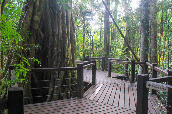 |
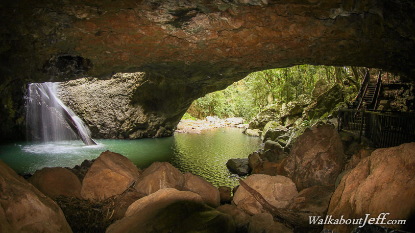
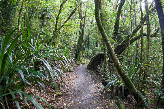
I start early in the morning deep in the Numinbah Valley following a boardwalk trail towards Natural Bridge. |
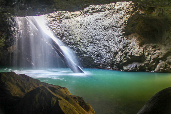 |
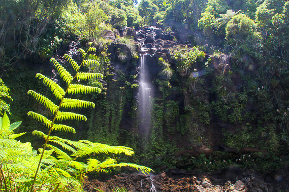
Natural Bridge is a very tranquil cave which a waterfall drops into, and passes through a deep pool to a stream going out the main entrance. |
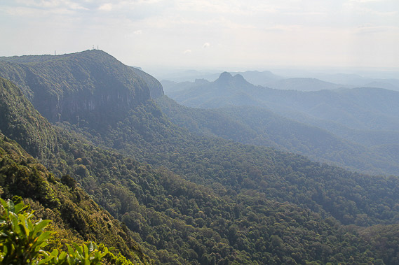 |
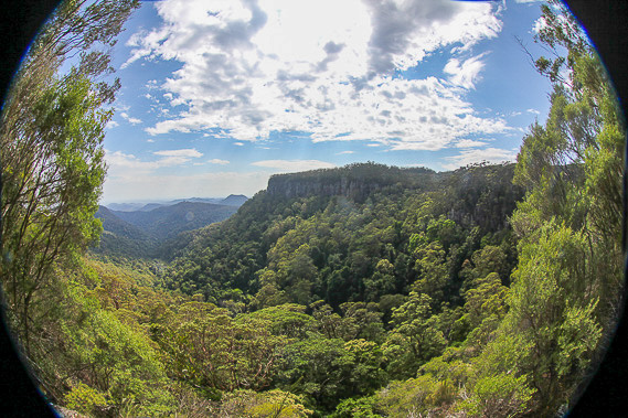
From Natural Bridge, I head back up the mountain, this time going the other way onto Springbrook Plateau. Here I follow the Best of all Lookouts trail to the well named lookout along the edge of the crater, where I can see to the twin peaks of Mount Cougall, and get my first glimpse of the Gold Coast city in the distance. |
 |
I return along the walkway as misty cloud briefly envelopes the forest. |
 |
I little back along the road, I start following the Warrie Circuit into one of the valleys carved deep into the extinct shield volcano. |
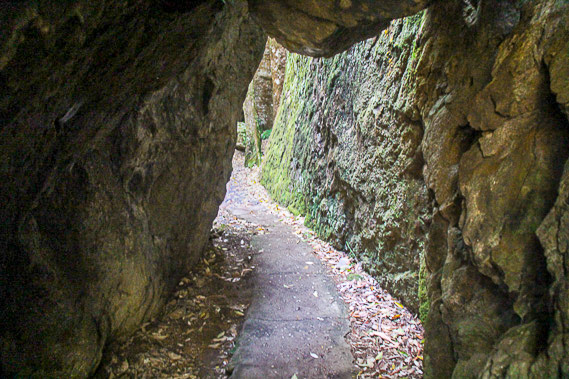 |
The circuit descends along the steep bluffs occasionally going through natural tunnels in the rock formations. |
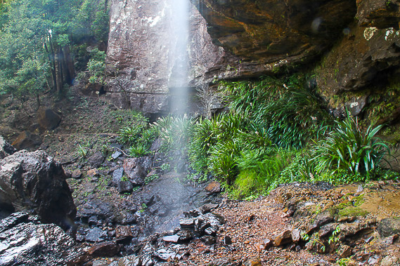 |
A few misty waterfalls drop into the valley with the track going behind Rainbow Falls. |
 |
Continuing along the circuit, I reach the very pretty Blackfellow Falls before the track starts rising back towards the top of the plateau. |
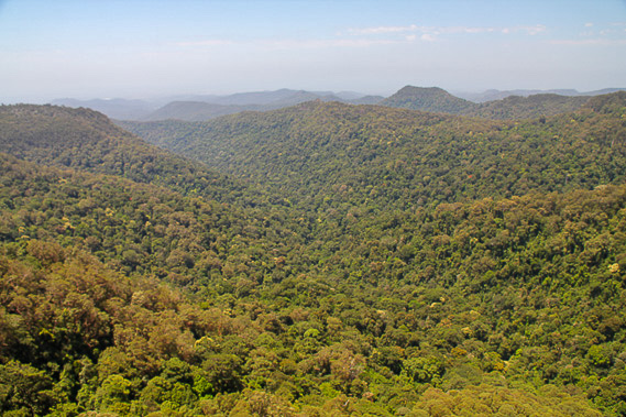 |
Once back up on the plateau I have a final view of the forested valleys of Springbrook National Park before heading down the mountain. |
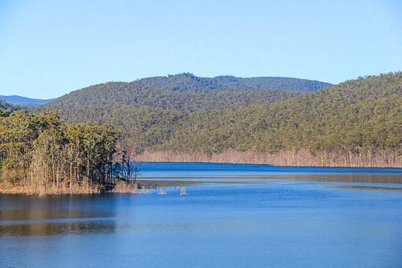 |
Most of the way down the mountain, I reach the Hinze Dam, the lake behind it storing most of the Gold Coast's water supply. The dam was recently heightened drowning the forest around its edges. |
|