Introduction to today's journey
TODAY'S journey takes me up to the summit of Mount Ngungun in the early morning, before heading to the nearby viewpoint of Mount Coonowrin. From there I follow the road towards Mount Coochin, which I climb the higher of its two summits. Upon returning to the bottom of the hill, I continue to Beerwah village.
Distance hiked today: 17.7km
Total distance hiked: 278.4km
Today's Journey
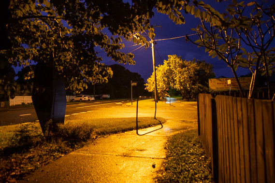 |
I depart Glasshouse Mountains village at first light following a rainy night. From here I head inland towards Mount Ngungun. |
 |
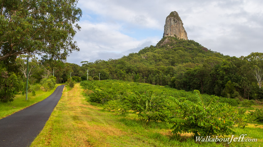
A wide path takes me the full couple of kilometres to the base of the hill. The cloud is beginning to clear and the steep slopes of Mount Beerwah appears in the distance. |
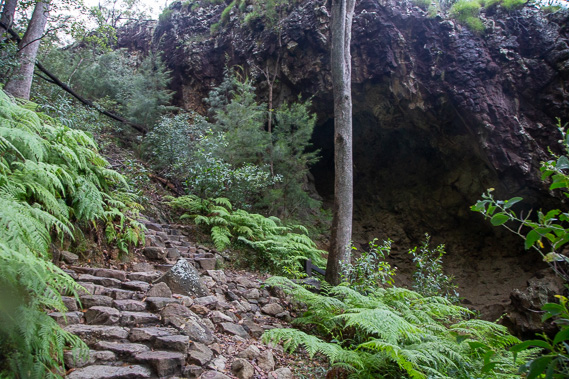 |
A stone stairway trail ascends the rugged side of Mount Ngungun, passing a natural volcanic cave on the way to the summit. |
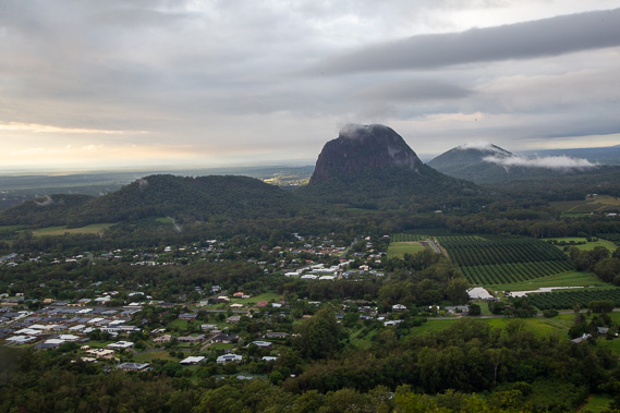 |
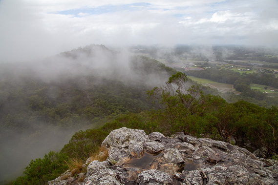
View from the summit looking back over yesterday's hike with Mounts Tibrogargan and Beerburrum visible with their summits still in the clouds and a strip of cloud enshrouding the Trachyte Range. |
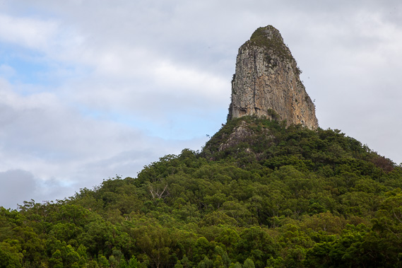 |
Descending from Mount Ngungun, I continue heading westward beside the road until reaching the base of Mount Coonowrin. The vertical rock walls on all sides would make for a very challenging climb, but the peak is closed due to the rock being very unstable. |
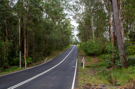 |
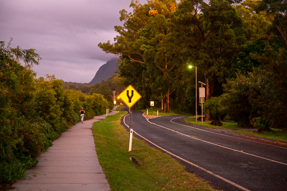
From the base of Mount Coonowrin I follow Old Gympie Road northwards towards Mount Coochin. |
 |
Upon reaching the base of Mount Coochin, I follow the track up to the higher of its twin summits. |
 |
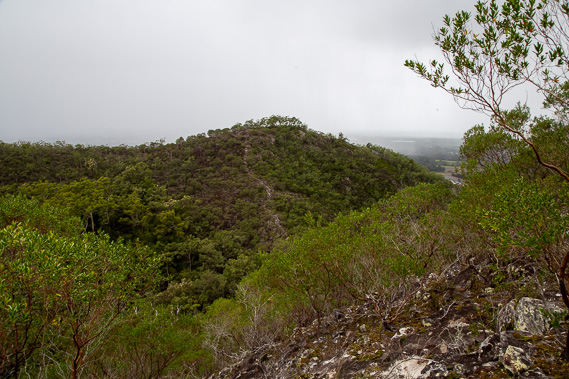
I reach the summit as rain falls, but the clouds start to clear revealing the lower peak. The rocks are slippery from all the recent rain, so I return down the hill back along the main track instead of attempting to cross to the lower peak. |
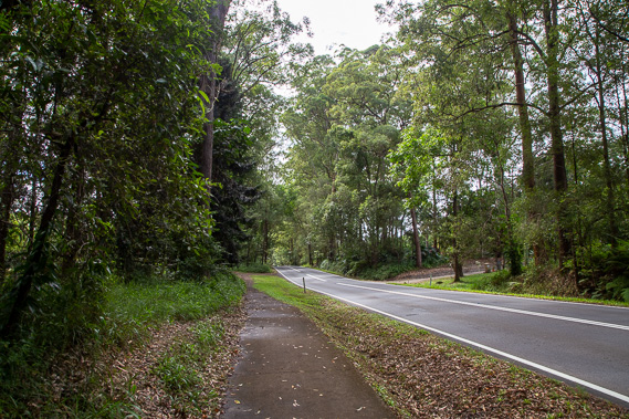 |
Once back in the lowlands, I continue following the path beside Old Gympie Road and later Peachester Road towards Beerwah village. |
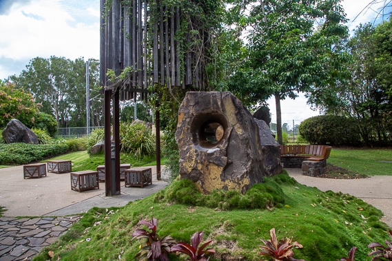 |
I explore one of the small parks in Beerwah Village having arrived in the mid afternoon after a relatively short day of hiking. |
|