Introduction to today's journey
Today's journey continues from Melany starting with an early morning walk along the Melany Trail following Obi Obi Creek downstream to Bullock Crossing where I cross over and head a little further downstream from Gardener's Falls. From the waterfall I follow the road back to the Maleny - Landsborough Road, then along the top of Balmoral Ridge along the Maleny-Montville Road. Upon reaching Montville, I turn off along Western Ave and descend to the Baroon Pocket Dam from where I watch the sunset.
Distance hiked today: 25.4km
Total distance hiked: 361.8km
Today's Journey
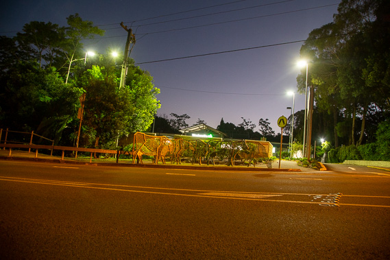 |
I depart Maleny at the first light of dawn as some of the stallholders start setting up for the markets later this morning. From the town centre, I continue to follow the Maleny trail downstream along Obi Obi Creek. |
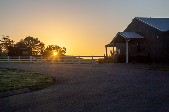 |
The sun rises to a clear day as the winding trail passes through farmland near the golf course. |
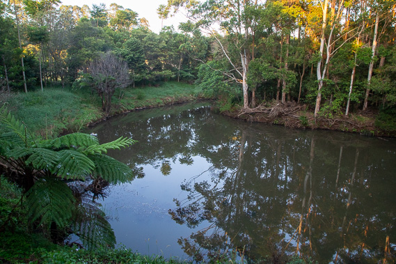 |
I stop at a large pool in Obi Obi Creek where often platypus are seen in the early morning. Despite stopping here for a while, I don't see any. Perhaps they were flushed out from the recent flooding. |
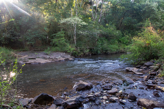 |
The trail continues downstream heading through forest until I reach Bullock Crossing, where the old horses and carts crossed on what was once the main road out of the town heading along the range and back down to Landsborough. |
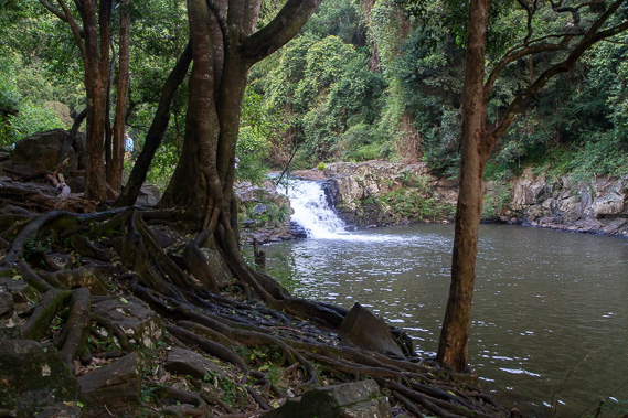 |
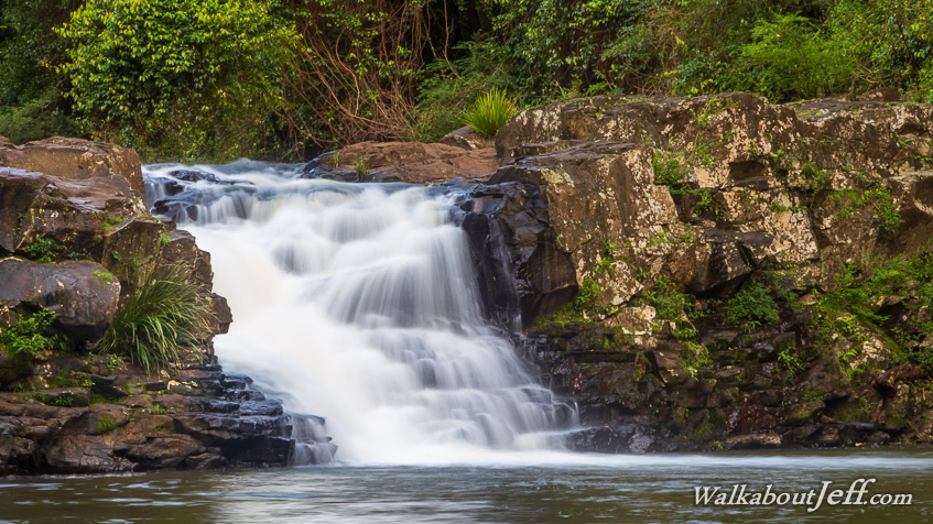
Once across the crossing, I continue heading downstream for a few hundred metres where I reach the pool at Gardners Falls. Here I rest for second breakfast. |
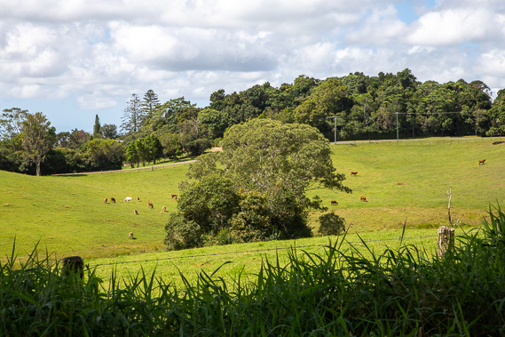 |
From the falls, I follow the road away from the stream heading to the start of Balmoral Ridge which the road follows heading northward through lush dairy farmland before the range narrows. |
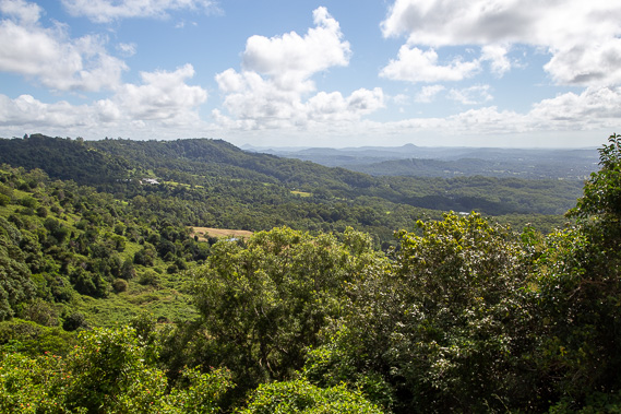 |
I eventually reach Gerrard's Lookout, from where I can see along the length of the Blackall Range, and down towards the Sunshine Coast. In the distance is the domed peak of Mount Coolum which I hope to climb in the next section of trail heading southward along the coast. The sea is just visible in the far distance with Sunshine Coast City extending from here across the lowlands to the sea. |
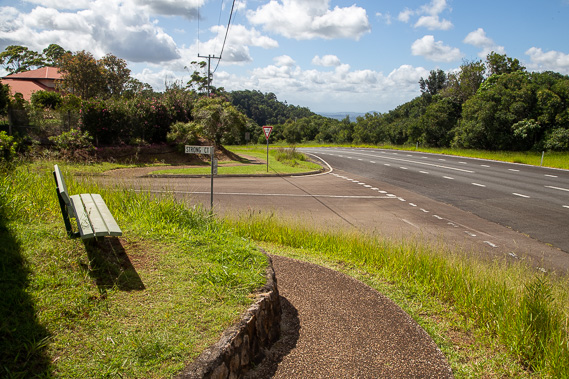 |
As the road approaches Montville, a footpath appears beside the road. Montville was originally called Razorback when first settled in 1887, but changed to Montville 10 years later originally settled to support the timber industry, then farming over these fertile ridges. I follow the path several kilometres to Western Avenue, which I follow along a side ridge before a steep road descent into Baroon Dam. |
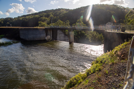 |
I arrive at the dam in the late afternoon. It holds back Obi Obi Creek forming part of the Sunshine Coast water supply. The dam is spilling as the creek is running higher than usual. The lake floods a valley once filled with bunya pines which attracted Aboriginal people from the surrounding areas to harvest the enormous pine nuts for thousands of years. |
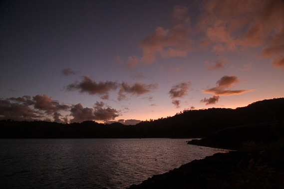 |
I watch the red dusk over the lake as the temperature drops and the wind picks up with heavy rain forecast later tonight. |
|