This week in South East Queensland
30 July - 5 August
EASTERN Australia is known for its humid summers, but it is the middle of winter that experiences the highest relative humidity. Almost without fail, the air temperature at night gradually drops to its low at sunrise. The temperature most mornings is only slightly above the wet bulb temperature of between 5 and 12 degrees Celsius. This raises the dawn humidity to betwene 90-97%. With the air so close to saturation, the dew is very heavy and a light morning mist is very common hovering over the ground in the valleys, often turning into low cloud covering the hills in a thick fog. Fortunately the air temperature quickly rises to the low 20s as the sun rises in the morning sky, quickly dissolving the cloud creating a clear, calm day.
Today's journey takes me winding around the highest ridges of the Cooloola Sandmass progressing in a generally southward direction. Ironically I only get one very brief glimpse of the sea through the endless trees during the entire day, sinking home the sheer scale of this coastal sandmass.
Today's Journey
Distance hiked today: 20.5km
Total distance hiked to date: 57.0km
 |
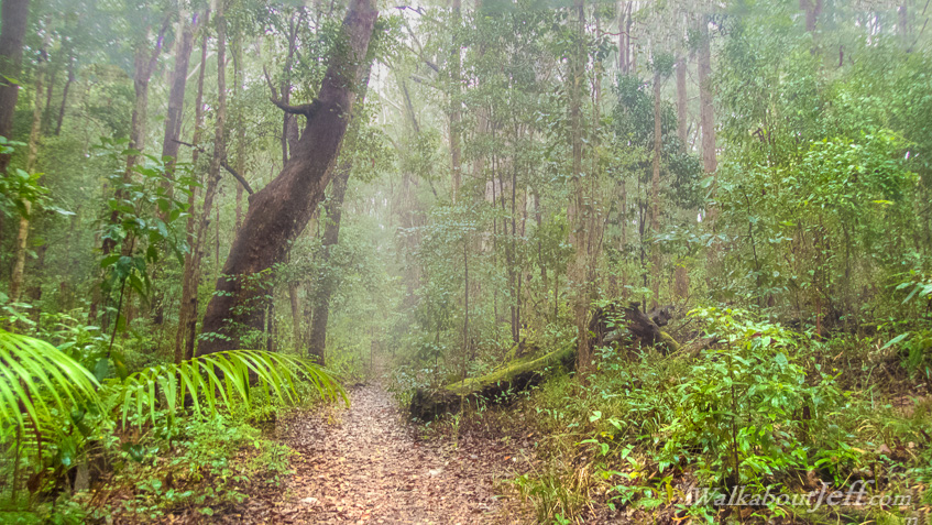
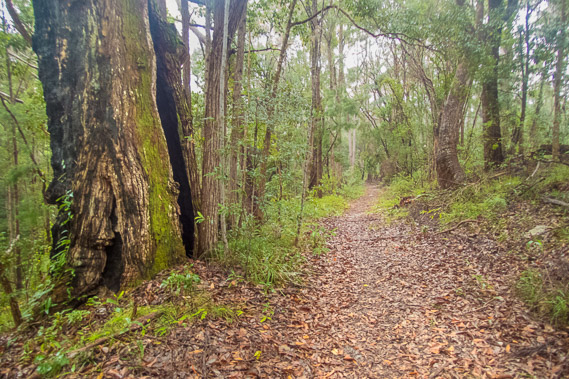
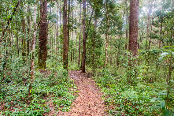
06:16 - Misty dawn breaks at Kauri just after the overnight rain stops falling. With the break in the weather, I quickly pack the tent shaking as much water off as possible and set off. This is the last hazy view of the camping ground. |
 |
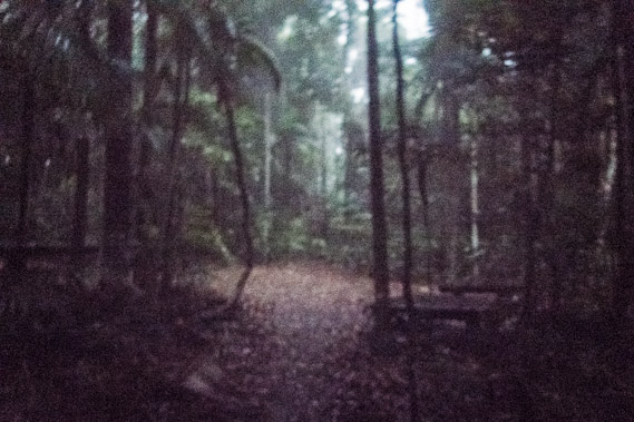
06:29 - Dawn slowly lightens the dark rainforest as water continues dripping from the canopy high overhead. The kauri trees in this almost untouched rainforest are very tall. In the stillness of the early morning in between the booms of the wompoo pigeon, I can hear the waves breaking on Teewah Beach. |
 |
06:47 - Crossing a service road to the camping ground. The sky lightens but the sunrise delivers no colours. The clouds are too thick. |
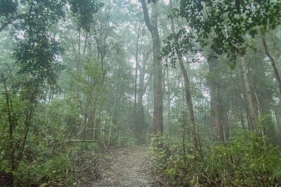 |
06:49 - The cloud lowers enshouding the hills, though no more rain falls. Visibility in these high hills becomes very low, with no chance of seeing the sea this morning even if there were any clearings in this thick forest. |
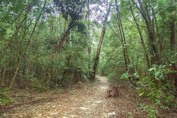 |
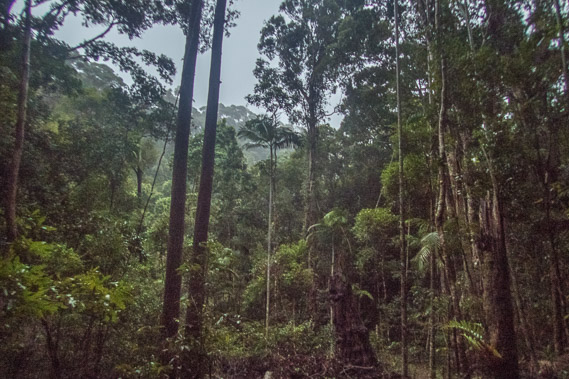
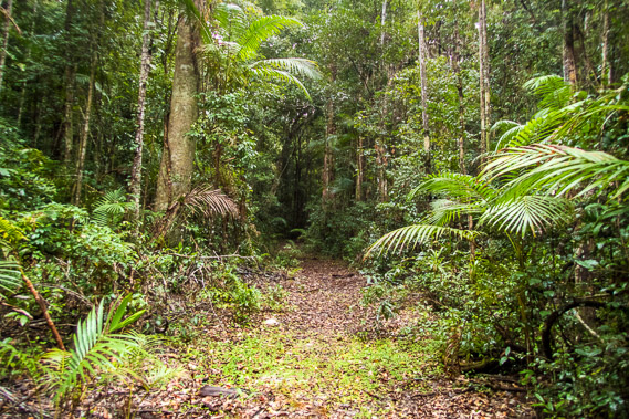
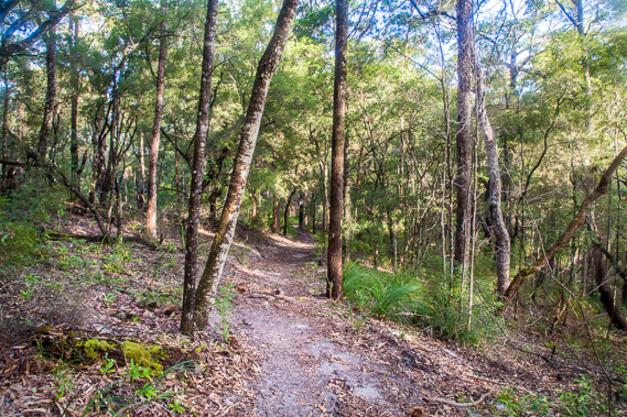
07:11 - The mist briefly clears as I continue heading through the rain soaked forest. Fortunately the track remains easy to walk along. The sand is compact and a complete absence of rocks or mud helps with progress. There are a lot of fallen twigs. A surprising number of them look like snakes so I need to tread carefully. Fortunately none of them turn out to be snakes. |
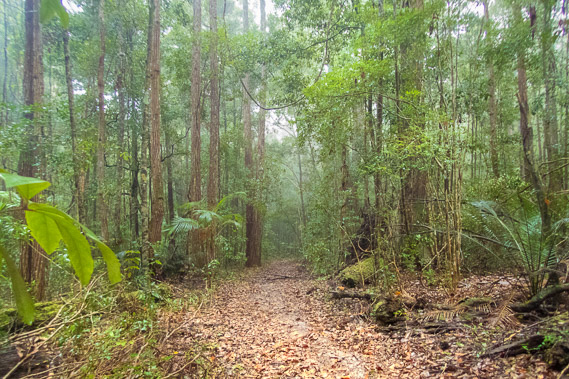 |
07:27 - The thick mist returns briefly before the track descends briefly into a rainforest gully. The thick moss covering the fallen tree limbs are almost fluorescent with reinvigoration from the rain. Fortunately no rain has fallen since leaving Kauri. |
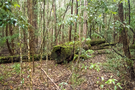 |
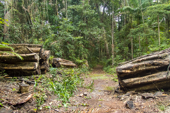
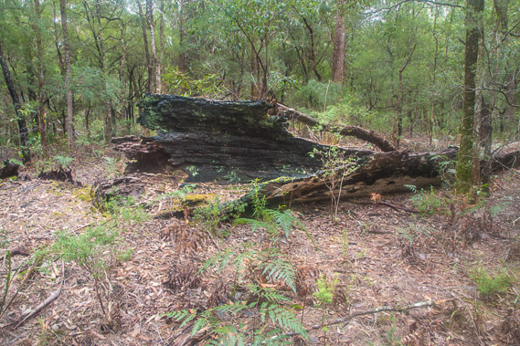
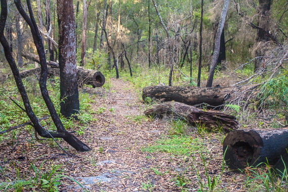
08:07 - A felled tree left here from the forestry days. Much of this remote area was logged back in the 1860s and 1870s to support the gold rush in Gympie with building materials. The rainforests I have passed were left alone, but this area was quite heavily logged. The trees were carried out by bullock to a tram railway built crossing the hills south of here, linking with the Cooloola Railway. The forestry only lasted ten years leaving this area to naturally regenerate. |
 |
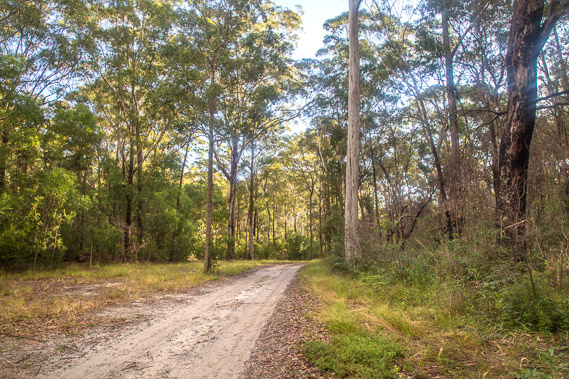
08:13 - The track winds around the tops of the sand hill ridges. Apart from the occasional root, the track continues to be very smooth thanks to the compacted sand and absence of rocks. |
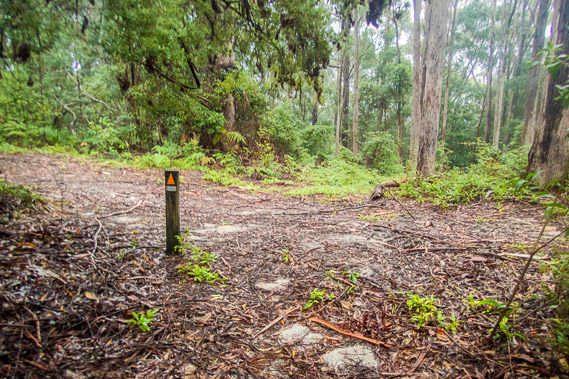 |
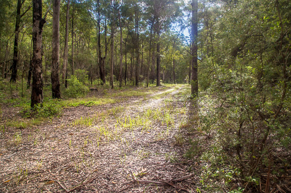
08:15 - Crossing another service road running along the top of the ridge before descending into another large patch of rainforest. The service roads running across the park were no doubt initially constructed as the bullock tracks to carry out the logs. These tracks are now used as firebreaks and service roads for rangers, and the better maintained roads are used for recreational access to the beaches. This road leads to the right north westward to Brotha Waterhole and out to the Rainbow Beach Road. To the left it joins to another road heading roughly parallel to the track going up to Freshwater. |
 |
08:16 - The cloud descends as I head down into the next gully. Is the rain coming back? None has fallen since first light, so perhaps there's a good chance of the cloud clearing later today. |
 |
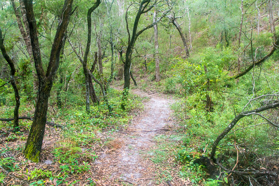
09:00 - Descending a spur with young trees regenerating from what had once been a spectacular forest of giant trees. The regenerating trees are fiercly competing for sunlight as the young canopy continues rising above the forest floor. The thick vegetation would make my progress very slow if it were not for the wide and well maintained track. |
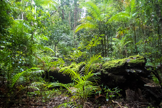 |
09:07 - The bush at the bottom of the gully has regenerated into a small patch of dark rainforest. Thick carpets of moss cover a fallen tree with the piccabean palms relishing its decomposition. |
 |
09:19 - The forest darkens under the thick canopy. The track makes progress very easy in this otherwise dense jungle of vines and undergrowth. I frequently hear the breaking of twigs as forest dwelling wildlife escape eluding me in the thick jungle. They succeed because I never see them. |
 |
09:22 - A young strangler fig starts wrapping around its host tree in its two hundred year mission to strangle it to death. |
 |
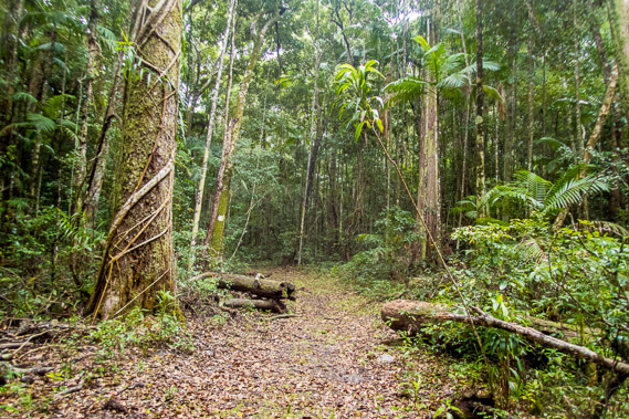
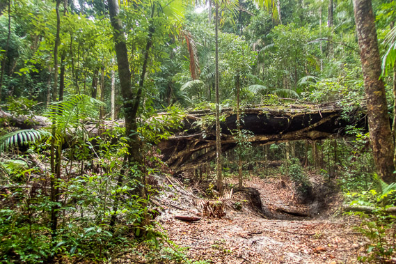
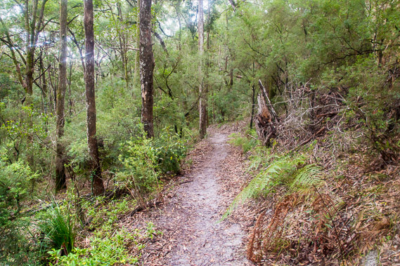
09:31 - Although few people seem to hike this track, it is well maintained with easy access where a large tree has fallen in recent years. |
 |
09:55 - A cutting in the track passing under another large fallen tree. Although the wind is calm today, this area is subjected to very strong winds brought on by frequent summer storms. The relatively dry and cool winter is definitely the best time to hike these subtropical walking tracks. |
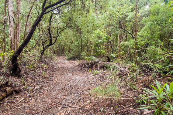 |
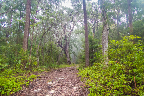
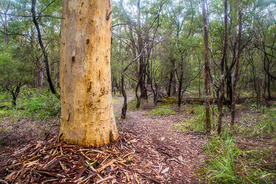
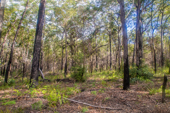
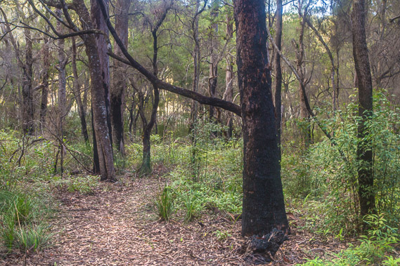
10:50 - The rainforest quickly thins to dense scrubby bush as the track ascends towards the top of the ridge. There are still some large trees here, but most were removed during the forestry days turning this area into a scrubby wilderness. |
 |
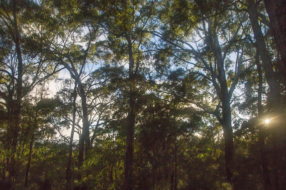
12:11 - At the top of the ridge, now a good three kilometres inland from the sea. Despite this distance, I can still hear the soft roar of the waves breaking on the shore thanks to the complete absence of civilisation in this remote place. It is hard to believe the Sunshine Coast - Brisbane - Gold Coast metropolis of around 3.5 million people starts less 40 kilometres away as the crow flies. |
 |
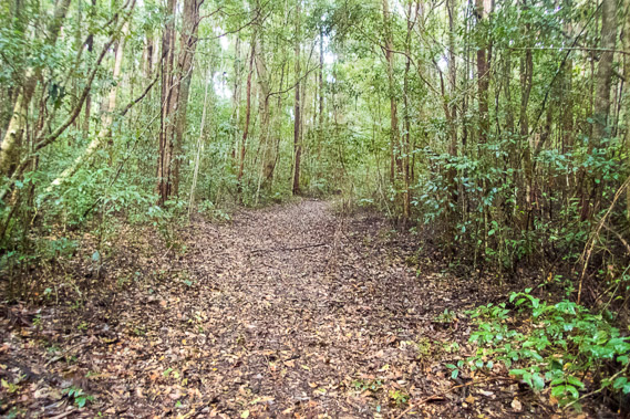
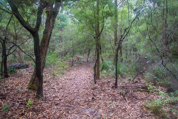
12:26 - Following the top of the ridge through the thin leaf litter. At one point I catch a glimpse of the Cooloola Cove behind Rainbow Beach, but only the faintest unphotogenic glimpse. This is the only view of the sea today. Such is the expansiveness of this sand formation. |
 |
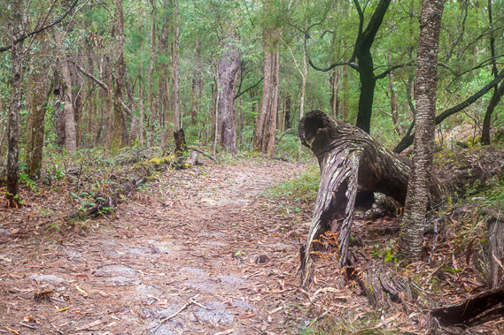
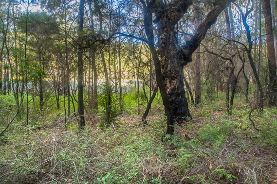
12:37 - The burnt out trunk of a tree in amongst much younger specimens indicating this area was once ravaged by fire in recent decades. The burnt out tree was most likely too small to log in the forestry years of the 1860s and continued to grow until being killed by the fire. |
 |
13:18 - A scribbly gum with most of its bark fallen off in a heap around its trunk. The scribbly gum is so named due to a bug carving out scribbly shaped patterns in the white wood under the bark. When the bark falls off the scribbles remain. |
 |
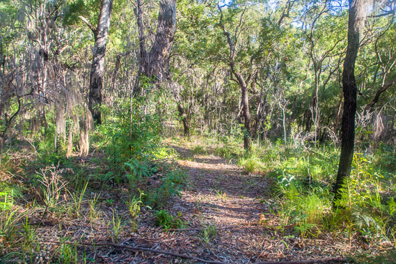
13:51 - Starting the long descent from the top of the ridge through the colourful undergrowth. The trees here are small indicating this area was heavily logged. The slopes down from these sandhills marks the northernmost extent of the Noosa River. The highly porous sand means rainwater very quickly absorbs into the ground, so there are no streams to indicate these are the headwaters. The underground water in this area would be flowing towards the Noosa River. |
 |
14:06 - Descending along the side of the sand range. There is quite a drop down to the bottom of the valley. This has been quite a long hill being pretty constant all the way since the final climb into Kauri yesterday. Although this is dropping quite deep, I know there is another hill to climb over before I reach my destination for today. |
 |
14:11 - Near the bottom of the sand range where the undergrowth thickens with the sand holding more water down here. The trees here have grown faster than those on the ridge thanks to the more reliable underground water supply. |
 |
14:22 - Crossing another service road at the bottom of the valley as the sun starts to come out. This is the Francis Gulch track, named after the stream which starts a bit further up the road and flows south westward as one of the sources of the Noosa River. This was most likely the route of the forestry tramway that came through here collecting the logs in the 1870s. Almost nothing is left of this end of the railway. |
 |
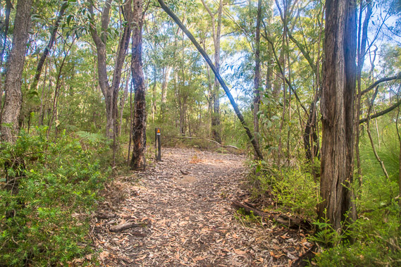
14:29 - Once across the service road, the track quickly ascends the next sand range as the bright sunlight filters through the canopy. The trees on this steep ascent are blackened from a fairly recent bushfire. The undergrowth is pretty sparse here making the track a little hard to follow in places. |
 |
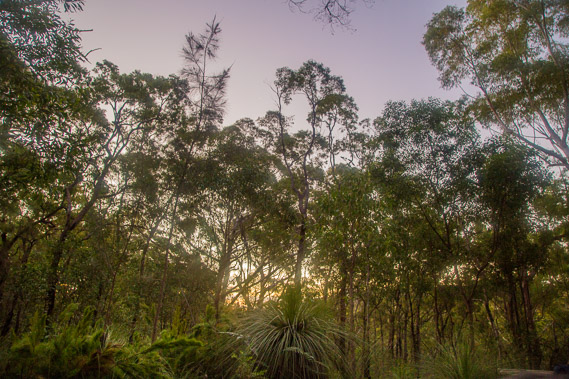
14:54 - The steep ascent eventually levels at a saddle at the top of the range. By now almost all of the clouds have gone bringing the typical sunny winter weather back. Following the top of the undulating sand ridge, the track doesn't seem to know when to drop down into the valley on the other side. I've come a long way today and quite looking forward to reaching the next camping ground. |
 |
15:30 - Eventually the track does start a moderate descent along a scrubby spur into the next valley. The sun is getting low in the sky but know I'll reach the camping ground with plenty of daylight to spare. |
 |
15:47 - More fallen burnt trees as the grade eases approaching the bottom of the valley. |
 |
15:51 - The bottom of the valley is visible ahead in what appears to be a clearing. This clearing turns out to be the tiny Lake Cooloomera. |
 |
15:53 - The track doesn't quite reach Lake Cooloomera. Instead it turns right passing about fifty metres away from its edge with no access points to the water. I had been looking forward all day to getting some good late afternoon shots of the lake to say that I actually did find water, but this was the best shot I could get through the forest. Thick reeds grow all around the lake. It is home to numerous rare frogs and lots of snakes lurk in the reeds. This is a lake best left alone. |
 |
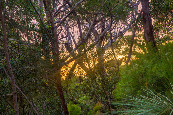
16:03 - Crossing another service road at the bottom of the valley. This road is part of the 4WD network. It follows the valley in this direction to the source of another headwater stream of the Noosa River. Behind me the road starts climbing the hill avoiding the elusive Lake Cooloomera before heading over the ridges to the middle of Teewah Beach in the middle of the beach camping grounds. The sun is starting to drop low in the sky turning the leaves of the eucalypts into gold. |
 |
16:10 - The track rises steeply on the final approach to Litoria Campground. The signpost viewed here was very welcoming with the camping ground about twenty metres to the right on the spur. |
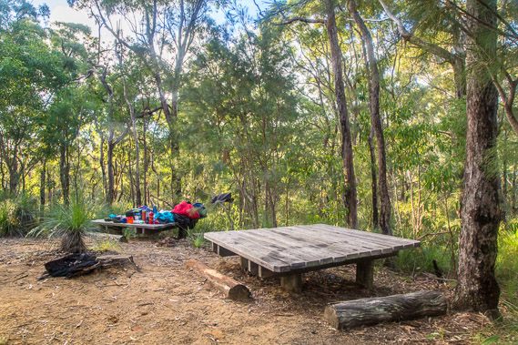 |
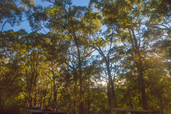
16:13 - Low tables at the communal area of the camp. A family is staying here. They were scheduled to hike to Kauri today, but decided to stay here today to dry out after their tents and gear got wet from last night's rain. My tent is still damp having been packed away all day, but it does dry out quickly in the final rays of sunlight. |
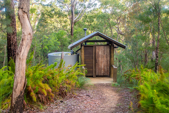 |
16:25 - The toilet and water supply at Litoria - a carbon copy of the building at Kauri. The rain last night caused the water tank to overflow with extra water pooled at the top. Dehydration's definitely not going to happen here. |
 |
17:03 - Glimpse of the last of the sun through the trees. The camping ground was established here on a small spur above the valley. This keeps us away from all the snakes lurking around the lake and along the valley floor. Litoria is named after the tiny (3 cm long) Cooloola sedgefrog (Litoira cooloolensis) which is well adapted to the acidic lake. It is an endangered frog only found here in the Great Sandy National Park, on Fraser Island, northern Moreton Island and just west of Brisbane city. They are hibernating at this time of year so I didn't get to hear their distinctive call. |
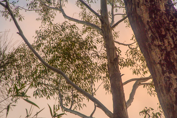 |
17:12 - Orange glow of the sunset on some lingering cloud that has quickly come over. This was a last remnant of the low cloud pervading these hills throughout the day. |
 |
17:30 - The sky quickly goes dark as I have dinner. A couple of one hundred year old grass trees grow here, indicating the forests are going to be quite dry from now on. |
 |
18:47 - The rising full moon shines between the trees in this long exposure shot as I head back to the tent which fortunately has dried out. The long exposure nearly turns night into day in such strong moonlight. There are still a few clouds hanging around. |
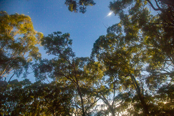 |
18:51 - Jupiter is bright tonight too, outshining the stars which faintly shine in the gaps between the trees. The strong moonlight hides all but the planets and bright stars. The spectacular centre of the galaxy is almost invisible tonight. |
 |
19:02 - The moon quickly rises in the sky as I prepare to turn in for the night. Although the sea has remains elusive all day, I can still clearly hear the roar of the waves breaking on Teewah Beach about four kilometres over the hills. Maybe I will have better luck with seeing some water tomorrow. |
|