This week in South East Queensland
22 - 28 October
MOST of the inhabited foreshore in South East Queensland is occupied with very large and very expensive houses. Northern Deception Bay is an exception with its small communities being quite isolated from the city crowds. Here in these almost forgotten villages, many houses lining the foreshore are very rustic, blending in very nicely with the lonely mangrove studded white beaches.
Today's hike takes me along the northern shores of the calm Deception Bay towards the mouth of the Caboolture River. The sheltered shores are markedly different to the exposed coastline I have been following down the Sunshine Coast and Bribie Island. Mangroves occupy the relatively sheltered shores along with the absence of any walking track making progress more challenging today.
Today's Journey
Distance hiked today: 16.1km
Total distance hiked to date: 322.1km
 |
04:29 - First light at Sandstone Point as dawn breaks over the low sandhills of Bribie Island. The tide is low revealing the mudflats on this side of the entrance to Pumicestone Passage. |
 |
04:40 - Looking along the beach, sweeping around some low headlands before continuing around Deception Bay. |
 |
04:59 - Looking across the flats back over the entrance to Pumicestone Passage to the southern end of Bribie Island just before the sun rises. Moreton Island is just visible in the distance. |
 |
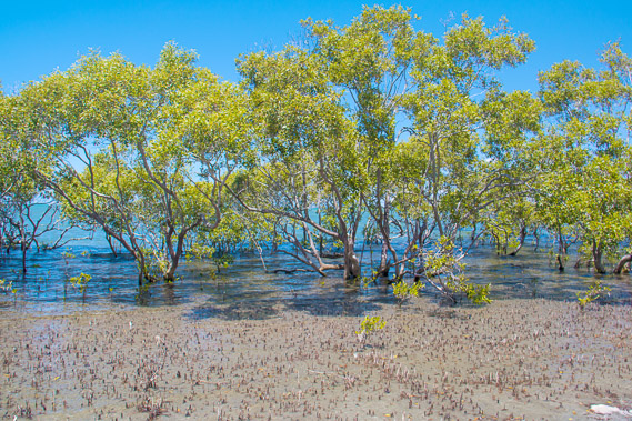
05:05 - Reaching the mangroves on the wide sand flats as the sun rises. |
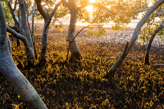 |
05:22 - The rising sun shines through the moss covered roots of the mangroves. |
 |
05:40 - Looking across the mangroves. Their roots protrude above the sandy mud to breathe when the tide is out. |
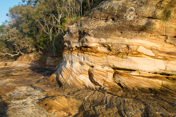 |
05:52 - Spectacular layers of the sandstone formation giving Sandstone Point its name. An enormous sand hill would have once stood here. |
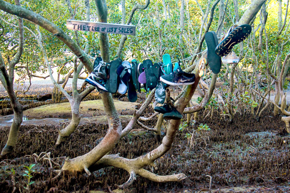 |
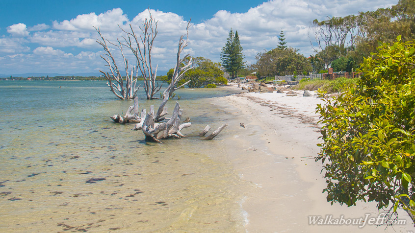
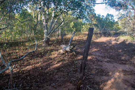
05:57 - The tree of lost soles hidden here amongst the mangroves on this seldom used track. |
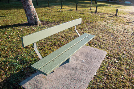 |
06:21 - Reaching a park with a chair covered in the thick overnight dew. |
 |
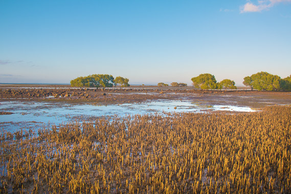
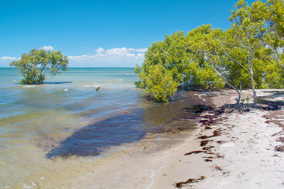
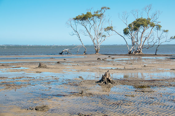
06:26 - Two mangrove trees isolated on the sand banks. The tide had turned and is starting to come back in now. |
 |
07:14 - Reaching the end of the park and following another rough track through the mangroves as I continue to follow the coast. At this point I'm not sure whether I'll be able to get all the way to Beachmere. I have been able to follow walking track or beach the entire distance up till now, but neither are available here. Perhaps I will need to turn back and follow the road. |
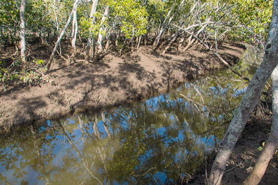 |
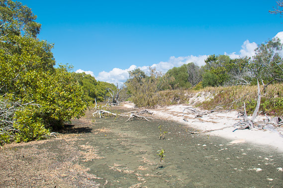
07:48 - Reaching a deep tidal stream in the mangroves. Looks like I'll need to turn back as there seems to be no crossing point or any way upstream. |
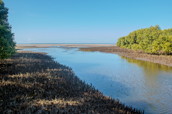 |
08:19 - I decide to head downstream where the stream gradually widens and shallows until reaching the dry sand bank providing a dry crossing above the incoming tide. The small waves of the bay forms the sand bank which dries at low tide and holds the stream's water back until heavy rain carves out a new channel to the sea. |
 |
08:30 - One last look up the stream before heading out onto the sand bank for the crossing. |
 |
09:05 - Reaching the other bank. The tide is now quickly advancing over the mangroves. |
 |
09:06 - One last look up the stream as the tide floods the sand banks. I now need to progress further along the beach. If I encounter another stream like this will, I will be left stranded until the tide goes out again. |
 |
09:14 - I follow a rough beach above the high tide line. So long as this beach continues I'm able to progress along the shore. |
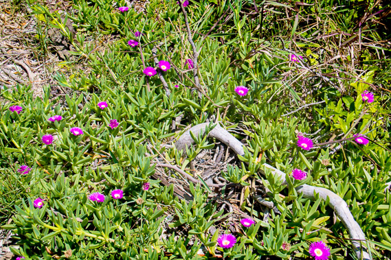 |
09:51 - Flowering succulents at the top of the sand bank. Only the toughest of plants survive here in this high salt environment. |
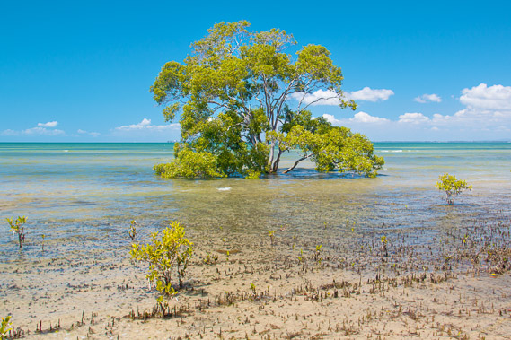 |
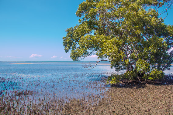
10:23 - A solitary mangrove tree now partially submerged as the tide continues to rise. |
 |
10:30 - The beach widens as I look back to Sandstone Point, now some distance away. Behind the point Bribie Island is still visible as a thin dark line, and the pale blue sandhills of Moreton Island are just visible in the far distance. |
 |
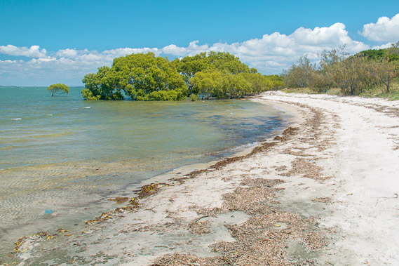
10:41 - Reaching a small point of mangroves. The small wavelets contain a small mass of seagrass brown with decomposition. Sea grass covers much of the bottom of Moreton Bay, providing food for dugong and other aquatic herbivores. |
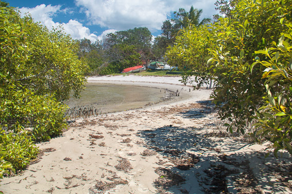 |
10:52 - Passing around the point I reach foreshore houses along the tranquil beach here at high tide. If I get trapped from here, at least I'll be able to find a path at some point to the road on the other side of the houses. |
 |
11:13 - The houses don't last long and once more I'm following white beaches as the morning tide continues to rise. |
 |
11:20 - The beach narrows as mangroves shelters the beach from the waves brought on by a sea breeze. |
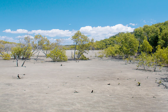 |
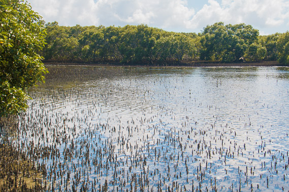
11:56 - The beach becomes a large sandflat sheltered by mangroves on either side. Today's tide does not rise high enough to cover this flat. |
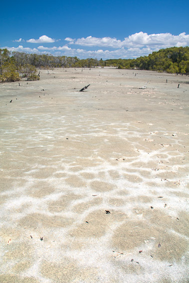 |
11:59 - The flat is covered in patterns of salt deposited by the highest tides and dried out by the relentless sun. |
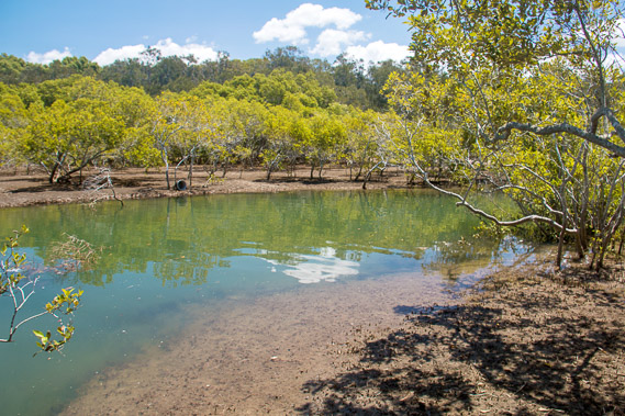 |
12:07 - Progress is going so well when I suddenly enter more mangroves and reach another stream, now deep from the high tide. |
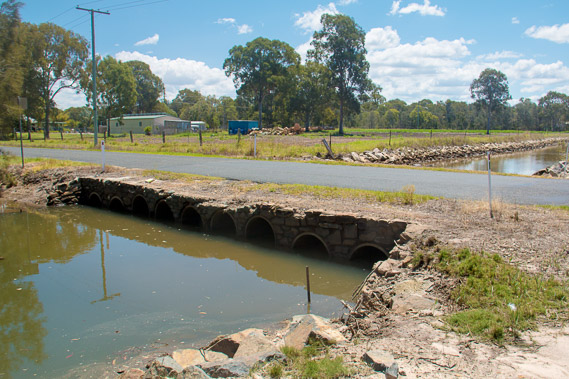 |
12:40 - Fortunately a rough track follows the stream a hundred metres to a road bridge. The road and surrounding farmland is very low. No doubt the very highest tides would cover this part of the road. |
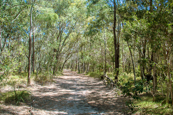 |
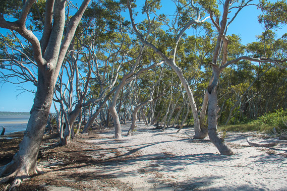
13:05 - I return along the other side of the stream and find this nice track heading through the conservation park, through the tall gum trees. The sun is getting quite hot with thirty degree days not uncommon a this time of year. The leaves tend to hang down to avoid the heat of the midday sun, resulting in a lot of the sun reaching the ground below. |
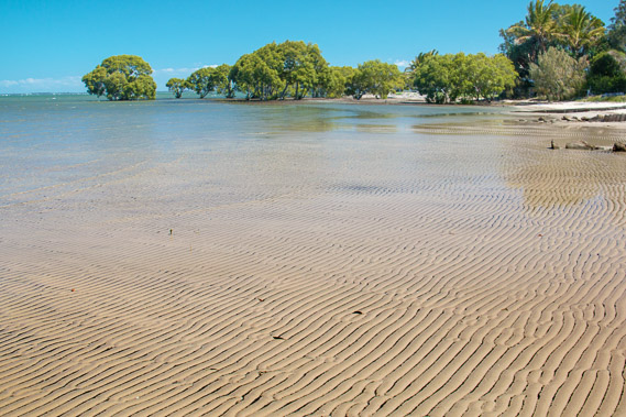 |
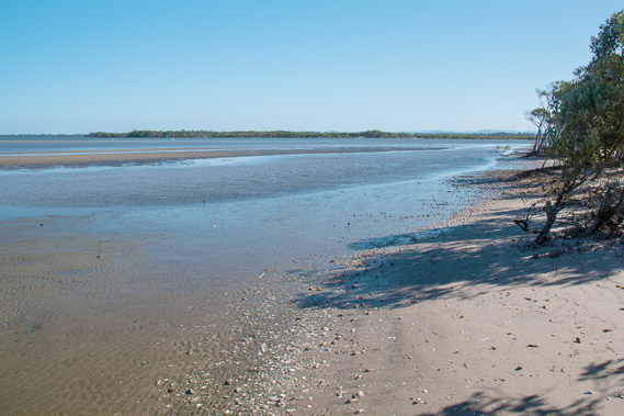
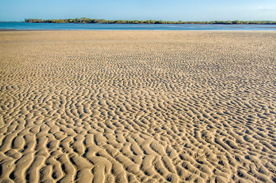
13:18 - I reach a bay on the other side of the forest. The tide has started going out leaving these amazing wave patterns in the hard sand. |
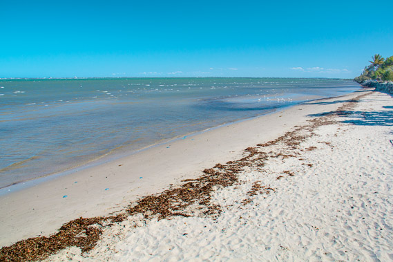 |
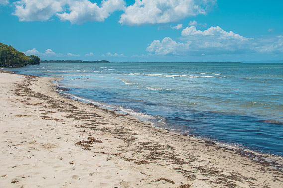
14:13 - It is difficult to progress past the and of the beach, so I head up to the road passing through Beachmere. There are frequent viewpoints at the end of cross streets. The first of these leads to this lovely white beach as the tide continues heading out, leaving plenty of dead sea grass and small blue jellyfish behind. |
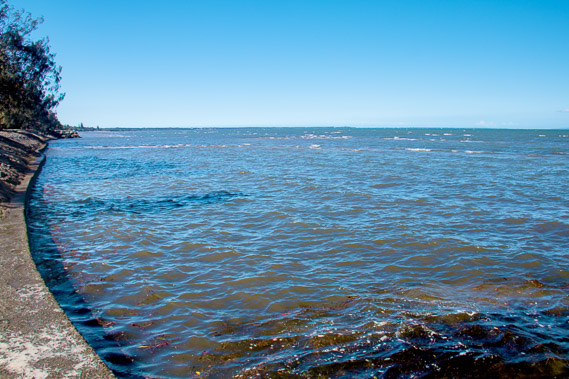 |
14:32 - Further along the beach disappears as a concrete wall separates the water from the Beachmere village where the land has been reclaimed. |
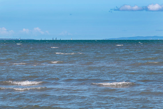 |
14:33 - Zooming in I see a yacht race off the end of Bribie Island. I can now see out the gap of the entrance to Moreton Bay, now quite a long way away. |
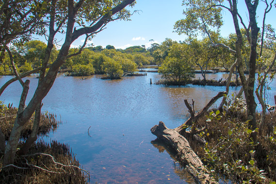 |
15:09 - Eventually the town ends and I reach a narrow sandspit separating the open waters of the bay from a flooded mangrove wetland. |
 |
15:19 - The sand bar continues to be easy to follow on soft sand under the shade of the trees. |
 |
15:28 - Islolated mangroves grow amongst the stumps of dead mangroves due to the shifting sands here near the mouth of the Caboolture River. |
 |
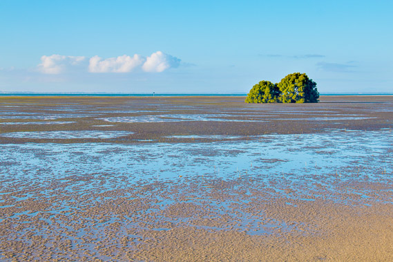
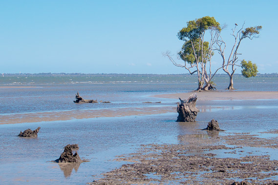
15:45 - More mangroves growing over the sand flats. It is late afternoon and I know I'm not going to get much further now. Perhaps this will make a good spot for sunrise tomorrow morning, even though this will set me back behind schedule. Redcliffe Peninsula is visible in the distance to the left. |
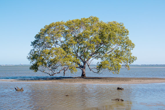 |
15:49 - A well balanced mangrove tree at the mouth of the Caboolture River. |
 |
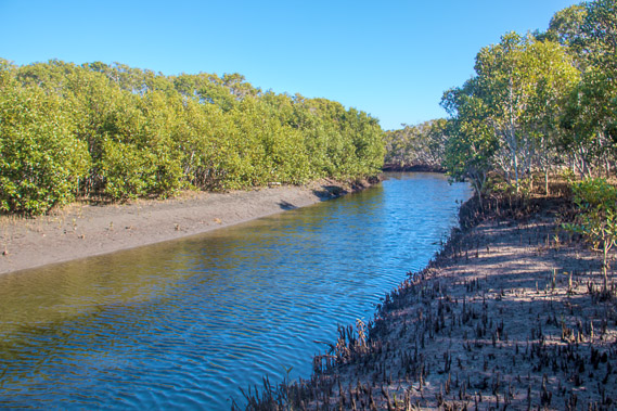
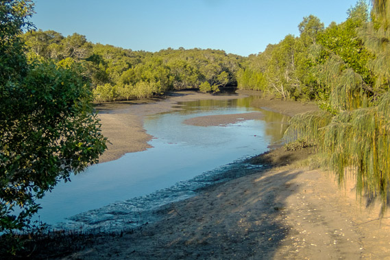
15:59 - Looking up the Caboolture River. |
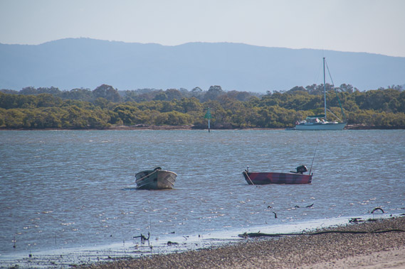 |
16:10 - Boats moored along the Caboolture River with the D'Aguilar Range in the distance. There is no bridge across the river for a long way upstream, so the only way to cross this shark infested river will be by boat. |
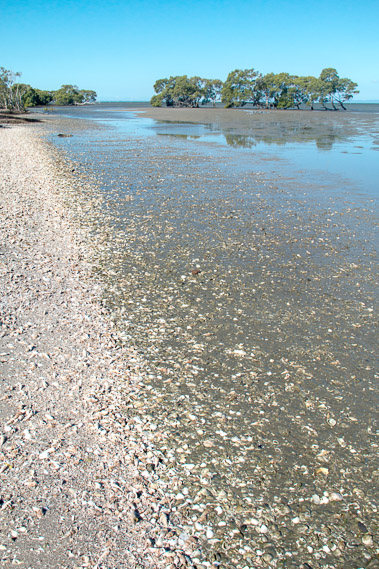 |
16:13 - Shells scattered along the mouth of the Caboolture River. |
 |
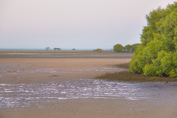
16:46 - A tidal stream draining the wetland I have been following. |
 |
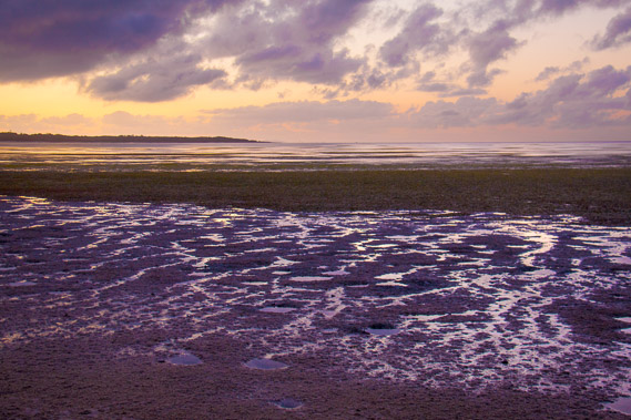
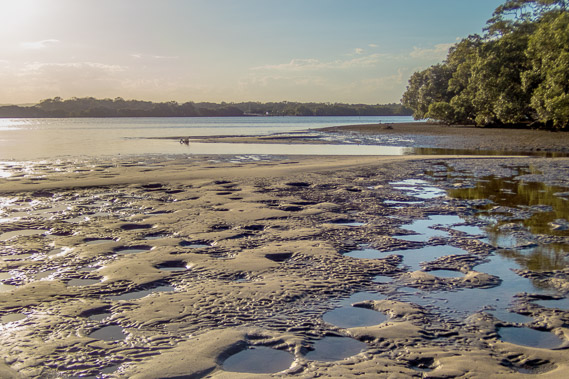
16:48 - Patterns on the sand as the tide continues going out on the Caboolture River. The late afternoon sun creates shadows to emphasise the patterns. |
 |
16:53 - Large mud crab holes at the mouth of the creek. It is quite muddy here. |
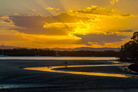 |
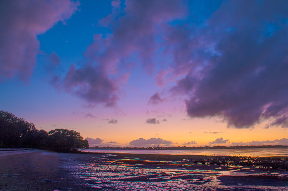
17:54 - The setting sun sends out its rays between the low clouds. |
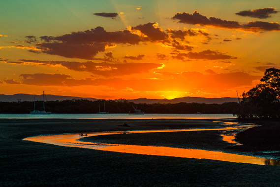 |
18:03 - The sun sets behind the D'Aguilar Range painting the western sky a bright orange color, reflected in the stream. |
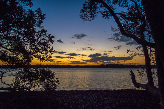 |
18:28 - I head further up the Caboolture River as the sky grows dark. |
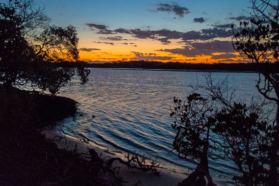 |
18:37 - This is as far as I can get, at the Beachmere Boat Ramp. This river is the first major obstacle I have reached so far on this trek (310kms so far), so I'll need to get a boat across the river tomorrow morning. I haven't gotten as far along the coast as I had hoped today, so hoping to make up for lost ground tomorrow to reach the Brisbane River in four days. |
|