This week in South East Queensland
29 October - 4 November
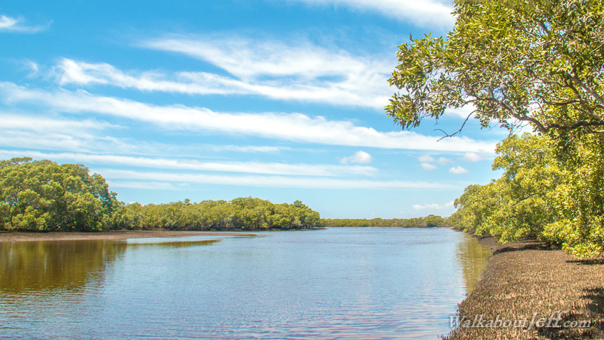
PRIOR to settlement, most of Moreton Bay's shoreline would have consisted as mangroves overlooking the sandy mud flats. In spaces through the mangroves numerous rivers and streams flowed out into the sea. Despite Brisbane being a large city, some pockets of coastal Moreton Bay still remain pristine in its original state. This is a perfect time of year along the coastline. It is not too hot or cold, and when it does warm up each day, the sea breeze kicks in cooling down these rustic houses under the trees.
Today's hike takes me across the Caboolture River, and the nearby Burpengary Creek, to the Deception Bay Conservation Area, a large mangrove wetland almost untouched and untamed. Caught in the midday high tide, progress through this fascinating wetland is slow, but well worth the time spent here.
Today's Journey
Distance hiked today: 9.2km
Total distance hiked to date: 331.3km
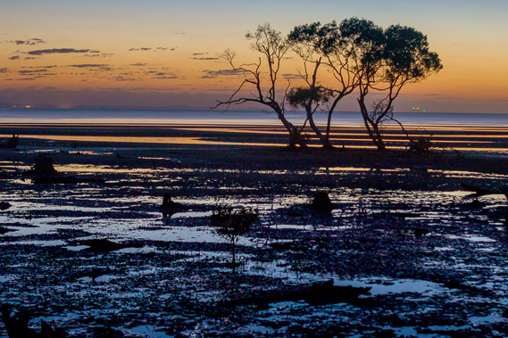 |
04:02 - First light over the mouth of the Caboolture River. Pools of water are left from the overnight tide on the mud flats. |
 |
04:31 - Morning glow of the dawn sky over the mud flats. |
 |
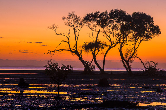
04:48 - The sky softens as large pools reflect the colours at the mouth of the river. |
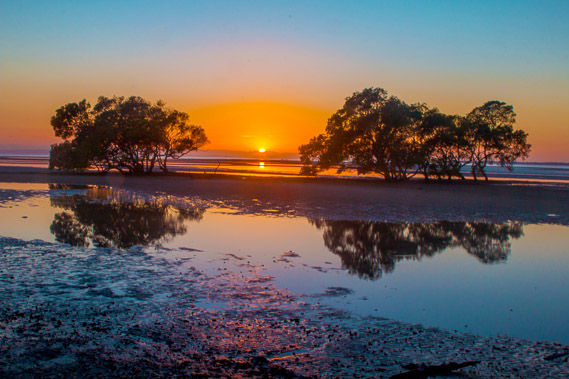 |
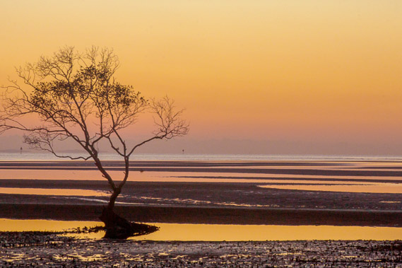
04:59 - The sun rises in the gap between the mangroves reflecting in the saturated mud flats. |
 |
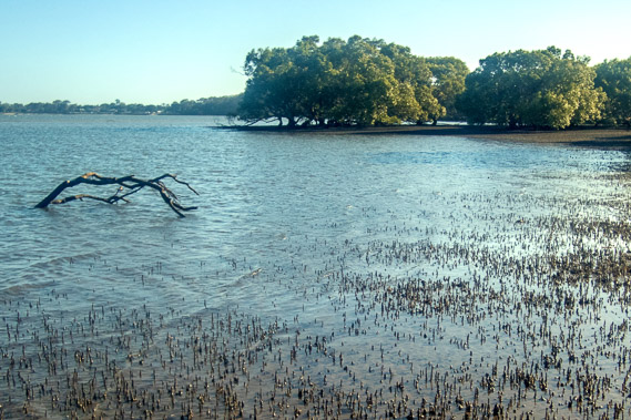
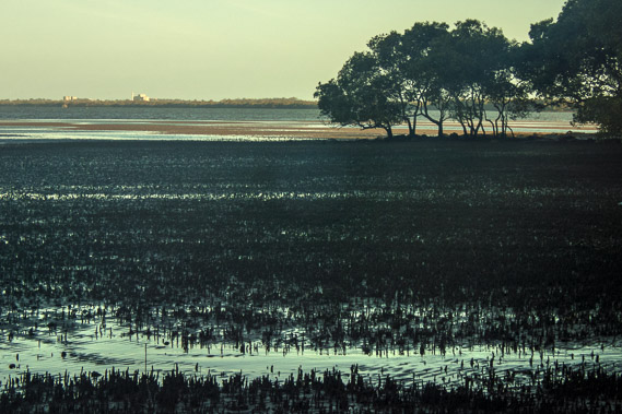
05:29 - Looking across the muddy mouth of the Caboolture River. This is the general direction I'm heading today through uninhabited mangrove wetlands. A humid morning haze fills the air. |
 |
05:37 - I head upstream crossing the little stream of last night's sunrise before heading up towards the boat ramp to catch a lift across the river. |
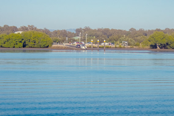 |
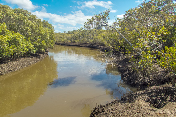
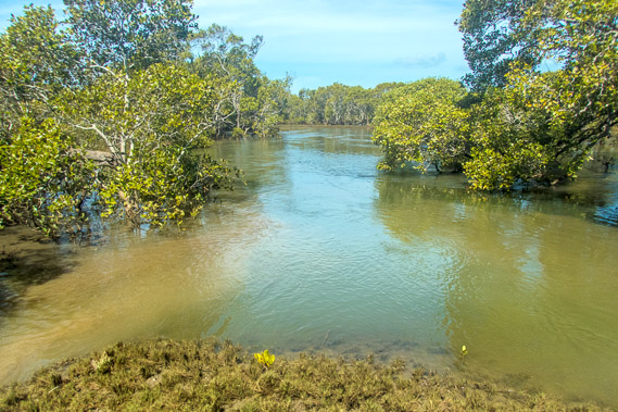
06:04 - Crossing the calm waters of the Caboolture River. The nearest bridge is the motorway about seven kilometres upstream, so the crossing here had to be done by boat between the two ramps. |
 |
06:42 - Crossing the narrow wetland between the Caboolture River, and Burpengary Creek. |
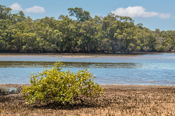 |
06:53 - Burpengary Creek. Another boat crossing is needed to get to the mangroves on the other side as the tide now races in. |
 |
07:49 - Looking back across the creek from the mangroves having completed the crossing. |
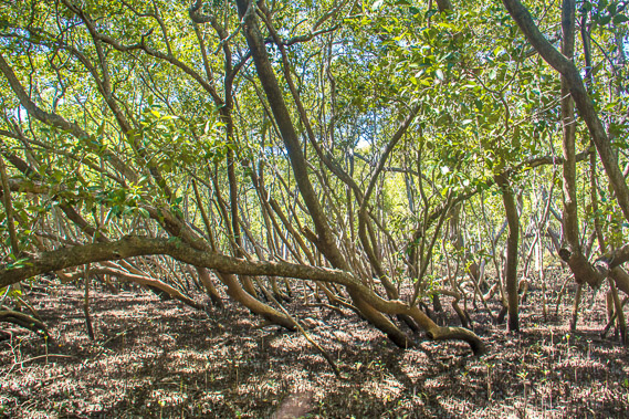 |
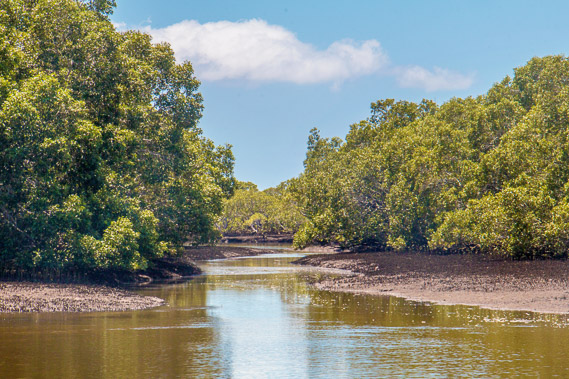
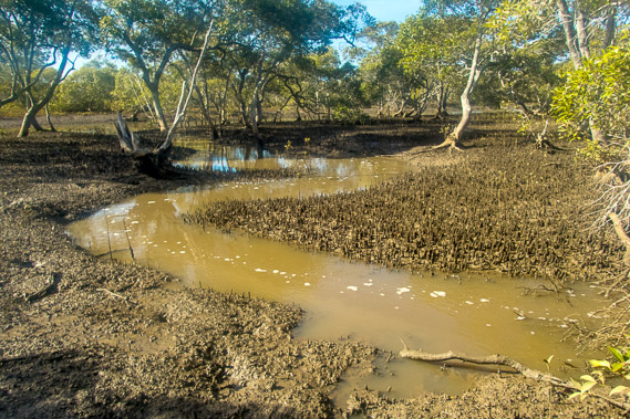
07:58 - The tangle of mangroves along Burpengary Creek. From here there is quite an obstacle course through the muddy mangroves towards Deception Bay Conservation Park. Progress is quite slow. |
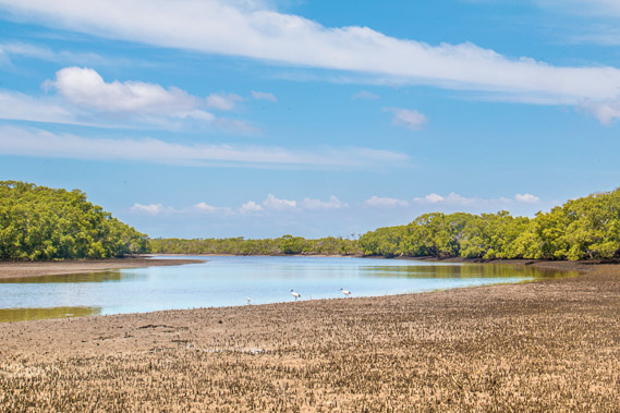 |
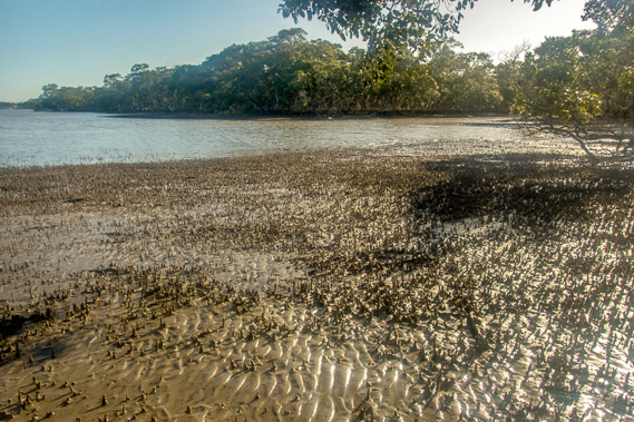
08:23 - I reach a large flat as Burpengary Creek fills with the incoming tide. It is very muddy out there so I need to stay close to the mangrove trees as birds wade along the shallows hunting small fish and crustaceans coming up with the tide. |
 |
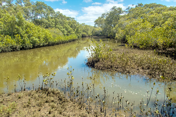
08:32 - A channel cutting across a small island in the Burpengary Creek. |
 |
08:42 - Heading downstream towards the mouth of Burpengary Creek now visible in the distance. Burpengary means "place of the wattles". This would be the case further upstream, but only mangroves can grow here in the very boggy and salty soil. |
 |
08:46 - Looking back upstream where the two channels of Burpengary Creek create the first of several islands. |
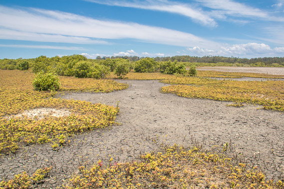 |
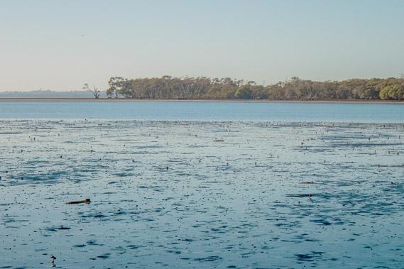
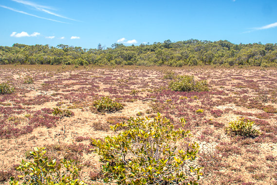
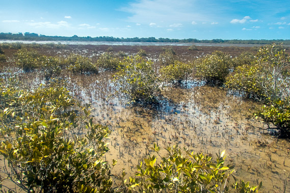
09:21 - The mangroves thin to create a large sand flat over the conservation park. Deception Bay is in the distance hidden in the forest. |
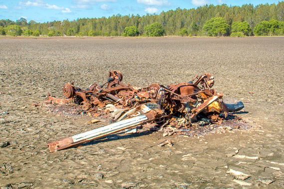 |
09:30 - The remains of a car brought out here years ago by some hoon who abandoned it out here in the middle of the mud flats. |
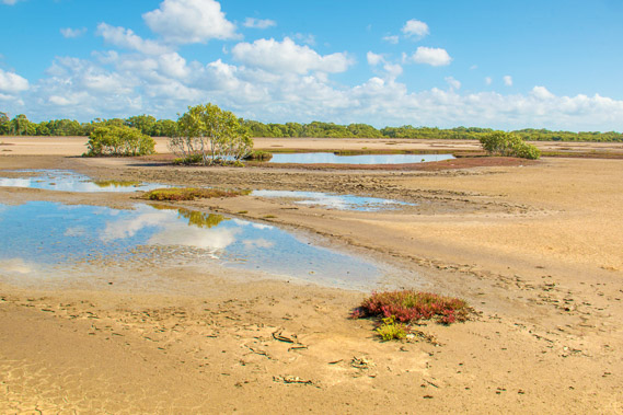 |
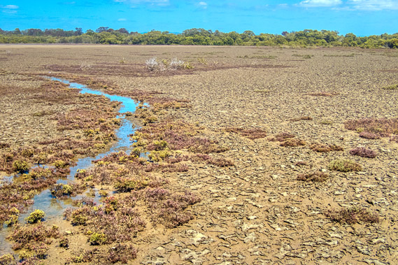
09:41 - Puddles of water left by yesterday's tide. |
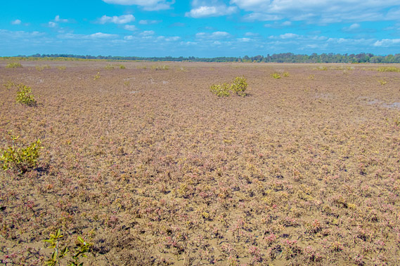 |
10:28 - The expansive flats soon to be covered in water. |
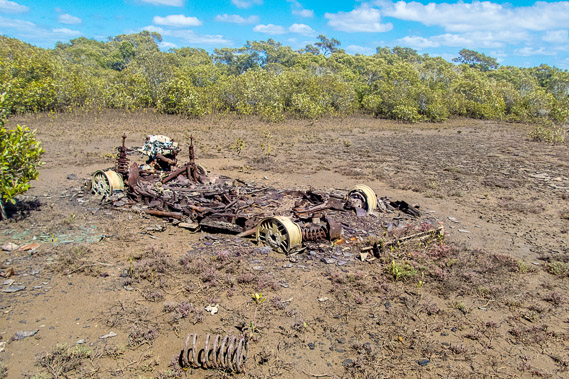 |
10:34 - The remains of another car beside Little Burpengary Creek. |
 |
10:37 - Little Burpengary Creek. This swings all the way down here before turning right around and draining into the main Burpengary Creek upstream from where I crossed over this morning. |
 |
11:27 - The tide is coming in flooding the creek. |
 |
11:40 - Heading back across the flat towards the mouth of Burpengary Creek. |
 |
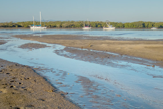
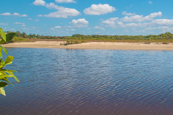
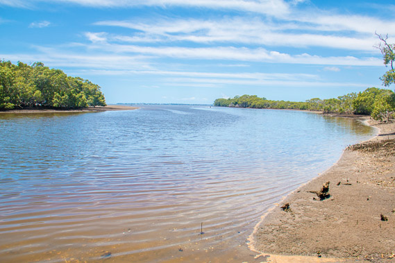
11:47 - The tide has come in a long way at the mouth of the creek. The mouth of the Cabooture River is just around the point in the distance. |
 |
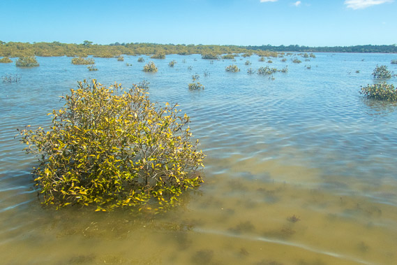
11:56 - I reach a small stream flooded by the incoming tide. I could either follow it upstream and cut across the flats into Deception Bay, or stay on this little island and watch the tide come in and out, but this will set me further behind schedule. I had hoped to reach the start of the Redcliffe Peninsula today, but with all the time I've already lost, that's not going to happen today. |
 |
12:31 - I decide to stay above the creek watching the tide continue to come in. |
 |
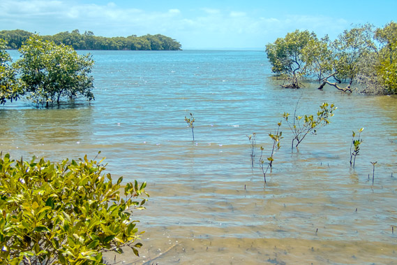
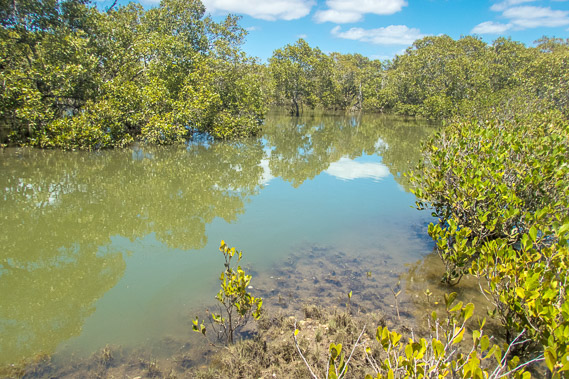
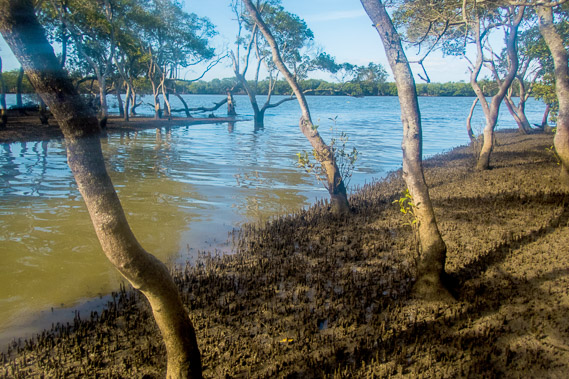
12:55 - Soon most of the area around the island becomes flooded with the trees poking out of the water. |
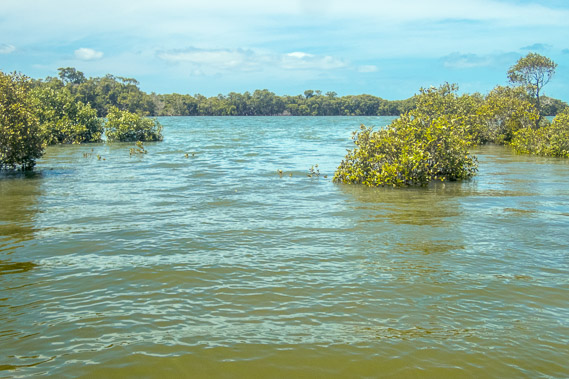 |
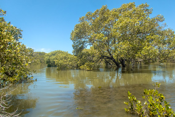
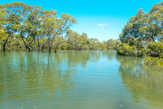
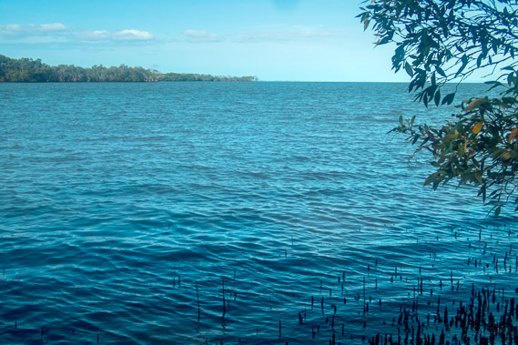
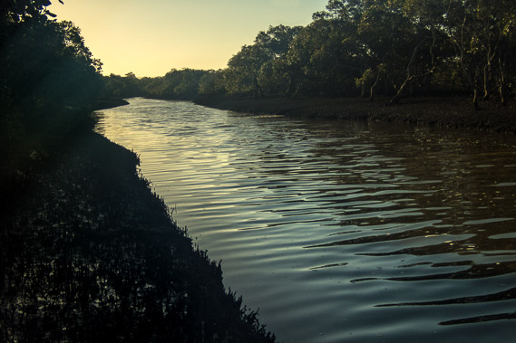
13:16 - The creek is now a large deep estuary. |
 |
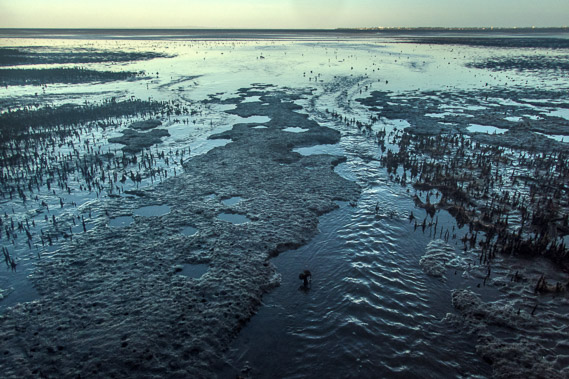
13:27 - The flats behind the islet are now flooded as far as the eye can see. |
 |
14:17 - The tide goes out as quickly as it came in. Water runs off the flats and flows swiftly along this channel out into Burpengary Creek. Most of the water has drained from the flats so I can cross around the back of the channel towards the creek. |
 |
14:44 - Looking the other way, most of the water has drained away but the flats are still very wet. |
 |
15:27 - I reach the top end of the channel and make my way around it gradually before heading downstream. The sun is already getting quite low and I've made very little progress today. |
 |
15:40 - The mouth of the channel draining into Burpengary Creek. The tide is still more than half in, but has gone out to the last of the mangrove trees, so I should be able to continue around the coast. |
 |
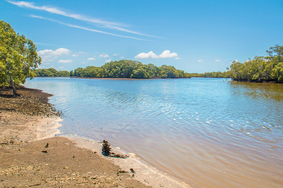
15:49 - Mouth of the Burpengary Creek. In a couple of hours this will be extensive mud flats with the stream meandering around it, but there is no time to linger here. |
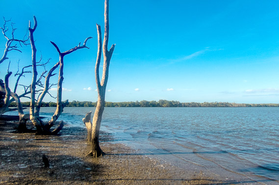 |
16:00 - Some dead mangrove trees just past the mouth of Burpengary Creek. |
 |
16:27 - The tide starts sweeping out over the mud flats. I keep close to the mangrove trees though as the mud further out is very soft. |
 |
16:31 - Water patterns in the mud from the tide. Another stream is nearby. |
 |
17:07 - Looking up the stream, a similar channel to the one I had followed earlier. The water looks deep here, but was only ankle deep at its mouth, where the twice daily tides creates a solid sand bank to conveniently cross. |
 |
17:32 - Water continues to drain from the nearby flats, forming streams across the mud flat. The mud is fairly firm where the water flows fast, but very soft further out where it flows slowly. I keep to the mangrove trees. |
 |
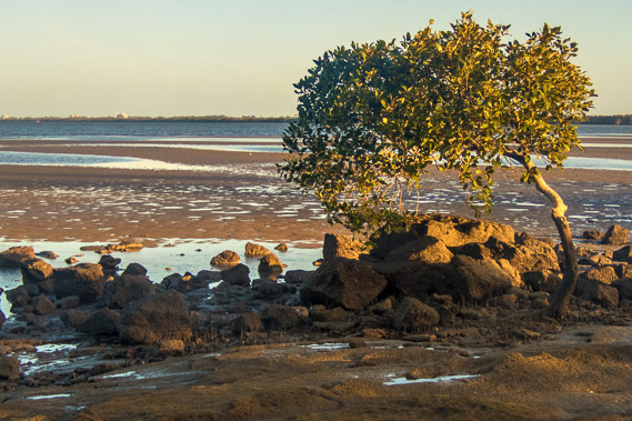
17:34 - Deception Bay village starts just around these trees, with parts of Redcliffe now visible in the distance. I had hoped to reach there this evening, but will have to stop here at Deception Bay. |
 |
17:42 - Looking over the flats from the start of a flat sandstone formation. |
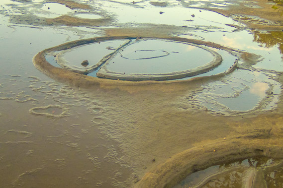 |
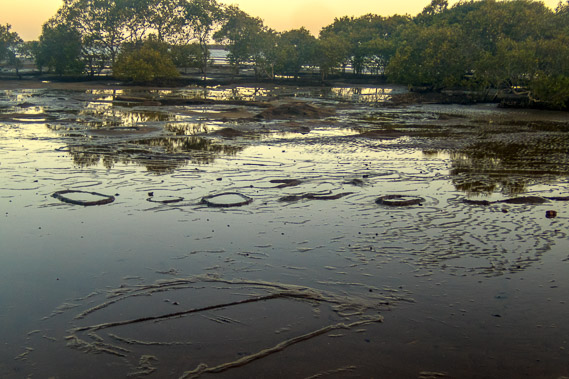
17:59 - Unusual circular formations naturally formed on the hard sandstone. These are strange formations and nobody seems to know how they were created. |
 |
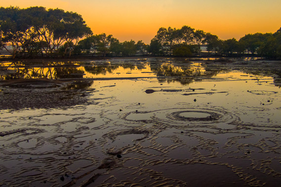
18:03 - More formatoins in the hard stone. |
 |
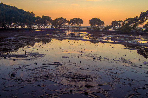
18:04 - The sun sets over the strange hard formations. |
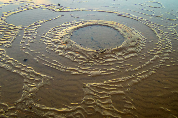 |
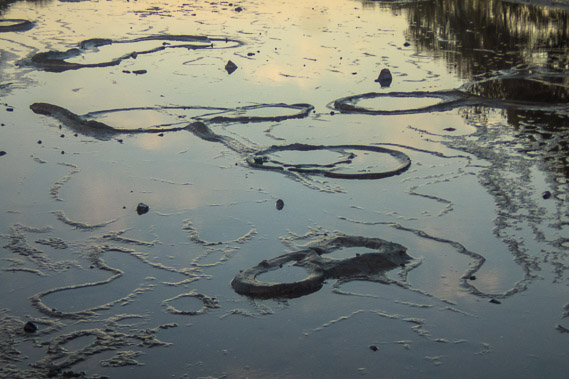
18:06 - More formations. The wave patterns and rings are all solid rock, very strange. |
 |
18:08 - Looking back out across Moreton Bay as the sun sets behind me. |
 |
18:24 - The last light as I reach Deception Bay, having hiked less than ten kilometres today, by far the slowest day so far on this trek. |
|