This week in South East Queensland
10 - 16 December
SOME of the hottest, most humid weather of the year occurs around this week. The temperature sometimes reaches into the high 30s along the coast and can hit the low 40s further inland around the sheltered valleys around Ipswich. The coast has its maximum temperature in the late morning before the welcome sea breeze hits. The sea breeze does not head far inland, causing the air to continue heating well into the afternoon bringing the higher temperatures.
Today's hike takes be from the leafy suburb of Balbowrie continuing upstream, though I have no views of the river until finally reaching Colleges Crossing at the upper limit of the tide. From there I cross the hill directly to Ipswich to where the Bremer River, the Brisbane River's largest branch, reaches its tidal limit. I spend the late afternoon and evening exploring the historic Ipswich city centre.
Today's Journey
Distance hiked today: 19.5km
Total distance hiked to date: 491.5km
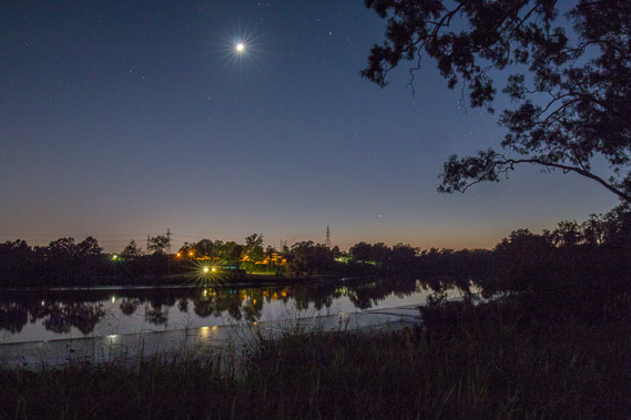 |
04:08 - Venus rises bright in the sky over the mirror smooth Brisbane River at a park I find in Balbowrie, the first river view I've had since Centennial Bridge. |
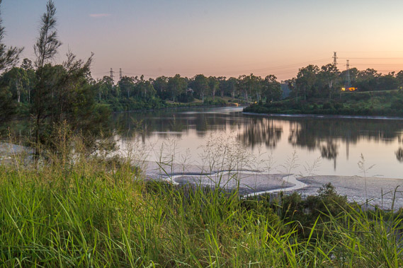 |
04:44 - The sky quickly lightens bringing forth the sun in a muggy night. It is rising on the horizon hidden behind the low hills. The tide is out exposing soft mud and winding channels on either side of the river. |
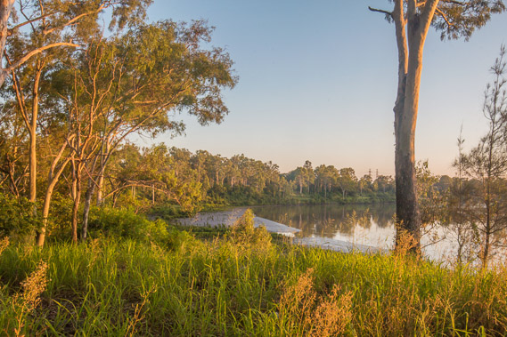 |
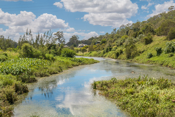
05:27 - The early morning sun shines brilliantly highlighting the vegetation and quickly heating the muggy air. |
 |
05:46 - With no tracks beside the river, I follow the road upstream as the air quickly warms. I am too far inland for the relatively cool air of the bay to moderate temperatures as they do on the coast. |
 |
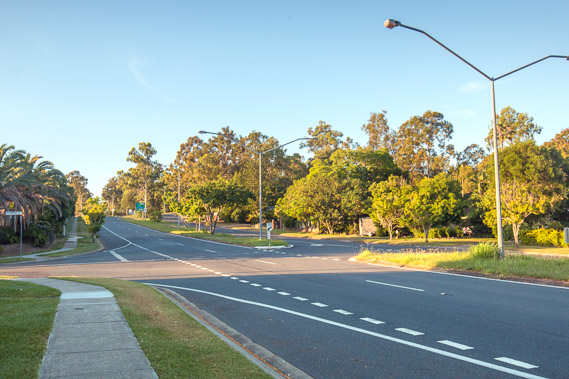
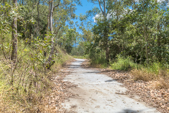
06:36 - The road continues... |
 |
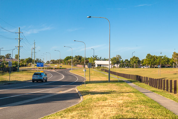
08:48 - ...and continues... |
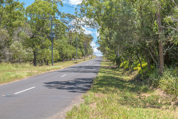 |
10:15 - ...and continues through forest up and down hills with no views of the river... |
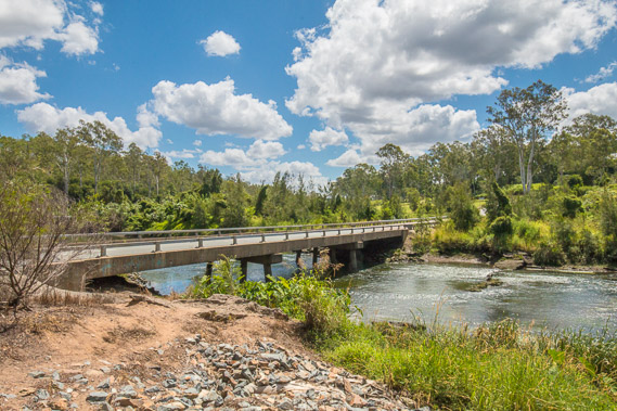 |
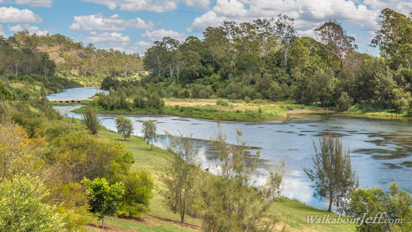
11:16 - ...until I eventually return to the Brisbane River at Colleges Crossing. This bridge marks the uppermost limit of the tide effects of the tides so this is where I cross over. This point is ninety kilometres upstream from the mouth of the river. |
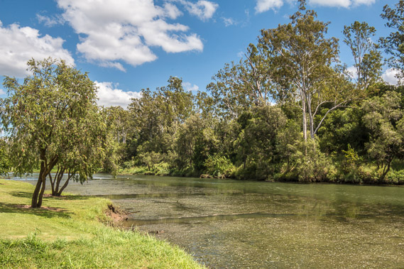 |
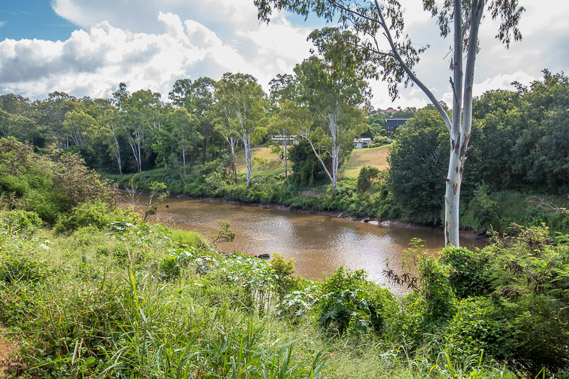
11:21 - I continue following the river upstream alongside Colleges Crossing Park. Although the water here is very clear and inviting on this hot day, the river is full of fast growing weed and sharks lurk in the depths even this far upstream. |
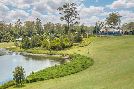 |
11:40 - The buildings of the park sit quite high above the river as spectacular floods come through here when heavy rain falls up in the Brisbane Valley. |
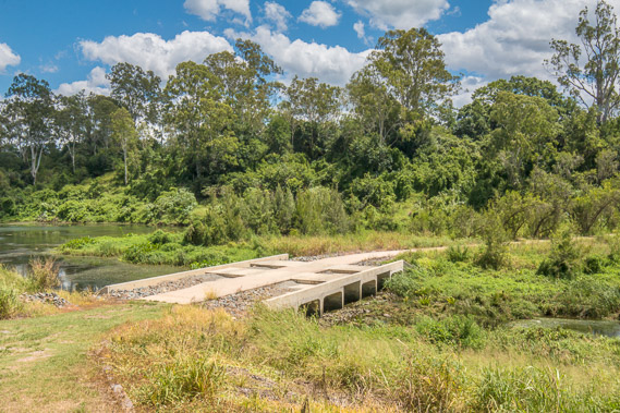 |
11:52 - A small bridge crosses a tiny side channel to an island in the middle of the river. |
 |
11:55 - Looking downstream along the channel. |
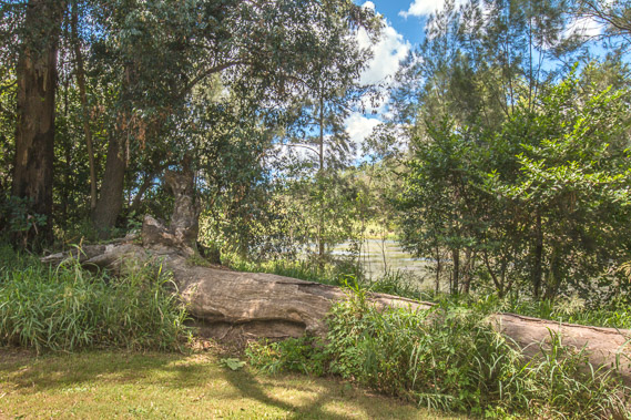 |
12:01 - The log of a huge tree fallen during the 2011 flood. Floods are not as serious as they used to be due to the construction of the Wivenhoe Dam further upstream holding around a cubic kilometre of water, but sometimes forced releases are needed when the dam fills. One of these releases largely contributed to the 2011 flood. |
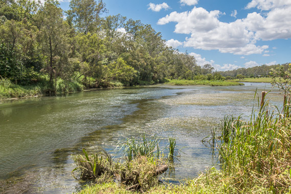 |
12:06 - The river viewed from the downstream end of the island. |
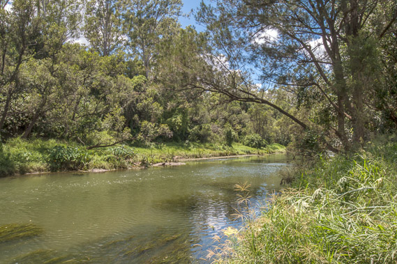 |
12:11 - The main channel of the river quietly flowing through the forest. The river rose 11 metres in the 2011 flood flowing as a massive torrent. It rose a lot higher again in the floods of 1974 and 1883. |
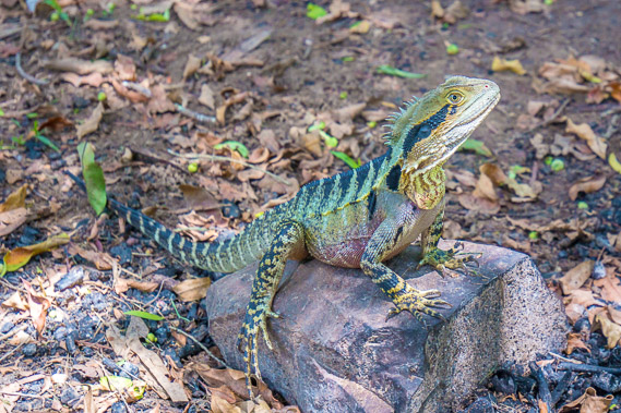 |
12:17 - A water dragon basks on a shady rock. It is getting quite hot here. The temperature in this sheltered valley this far upstream can easily rise to over 40 degrees in summer, and can drop as low as -5 degrees in winter. |
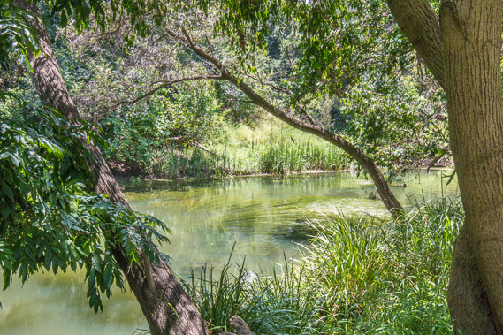 |
12:18 - The green waters placidly flowing under the trees. |
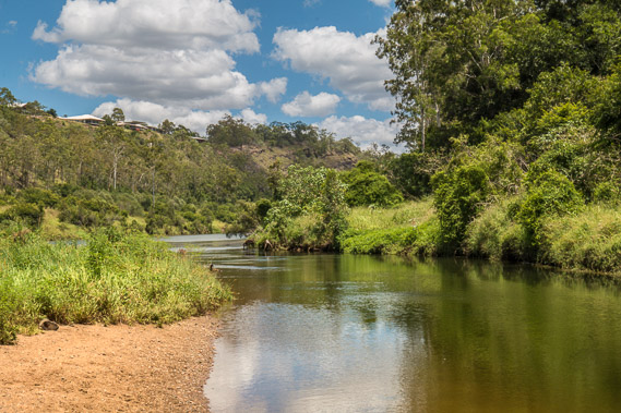 |
12:21 - A small beach on the upstream end of the island. The only houses visible in this valley are way up on the top of the hill, safe from even the biggest of floods. |
 |
12:31 - Heading back across the bridge to head up the over the hill towards Ipswich. |
 |
13:10 - The steep paved track heading up to the top of the bank of the gorge. It is hot work climbing this hill. |
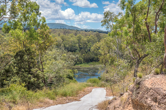 |
13:15 - Looking back from near the top, seeing how the river negotiates its way through quite a deep gorge around the southern end of the D'Aguilar Range. |
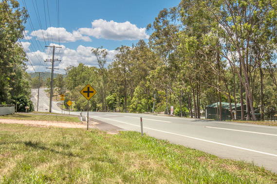 |
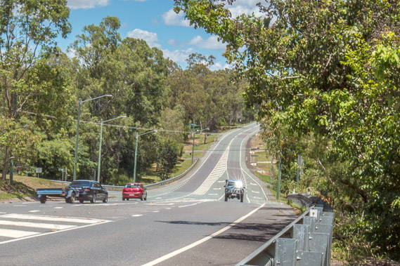
13:31 - At the top of the climb now following the road through eucalpyt forest towards Ipswich. |
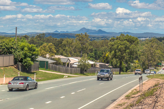 |
13:35 - Crossing the top of a hill between the Brisbane River and Ipswich. South East Queensland's highest mountain Mount Barney is visible in the distance. It was once the centre of a large shield volcano. |
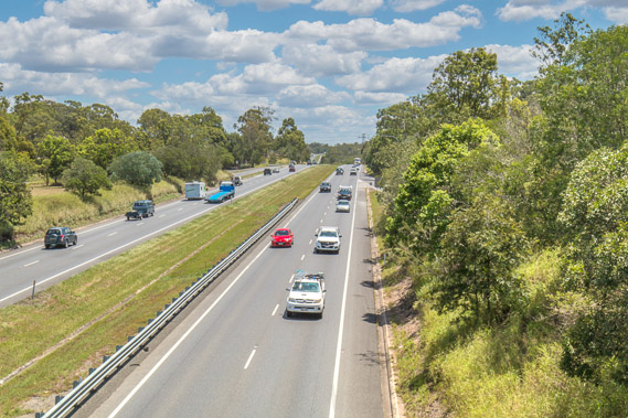 |
13:59 - Crossing a bridge over the Warrego Highway. This is the main road inland to the Brisbane Valley, Toowoomba on top of the Great Dividing Range, and further away to the remote outback and eventually to Darwin about 3400 kilometres away. |
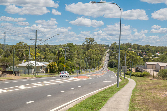 |
14:13 - Descending the hill into the outer suburbs of the city of Ipswich. |
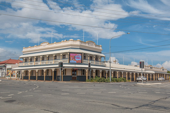 |
15:03 - Reaching the colonial areas of the northern part of Ipswich, from a time when it was a thriving coal mining town. This large pub was once the watering hole for the coal miners and other early settlers. |
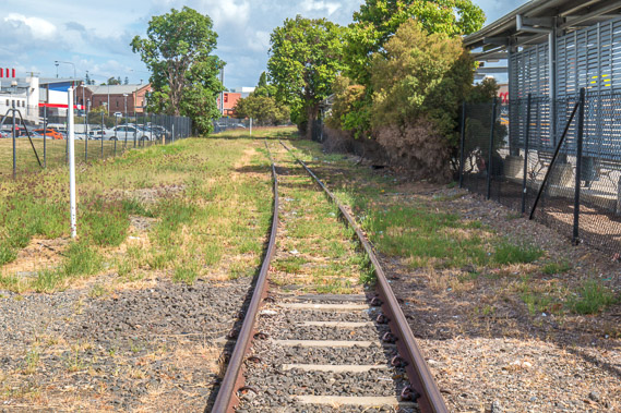 |
15:07 - The oldest section of railway track in Queensland's main railway network. It was built to service the local coal mines and the growing town set at one stage to become the capital city as Queensland sought its independence from New South Wales. |
 |
15:15 - Reaching the Bremer River, flowing down from the Lockyer Valley through the middle of Ipswich towards where it meets the Brisbane River some 15 kilometres downstream. This is the upper limit of this river's navigability and the upper tidal limit, about 95 kilometres upstream from the mouth of the Brisbane River. |
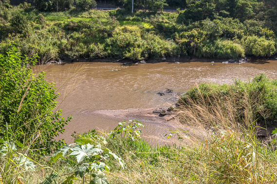 |
15:32 - This river is a lot dirtier than the Brisbane River due to runoff from the farms of the Lockyer and Bremer valleys. |
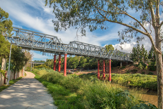 |
15:39 - Crossing under the old railway bridge heading into central Ipswich. |
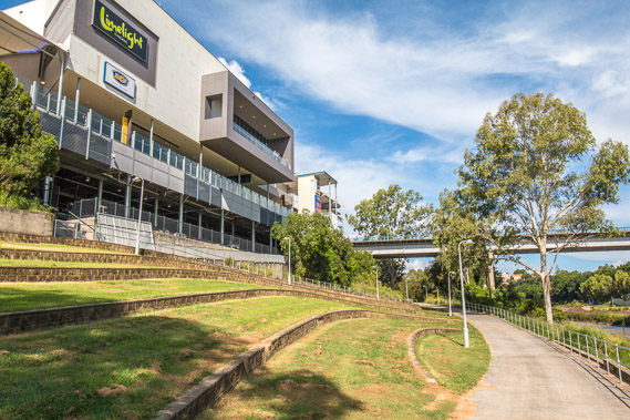 |
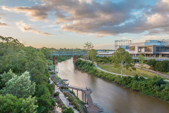
15:43 - A relatively new shopping centre overlooking the Bremer River. |
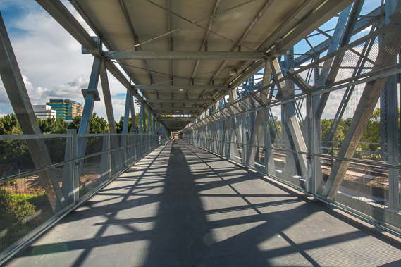 |
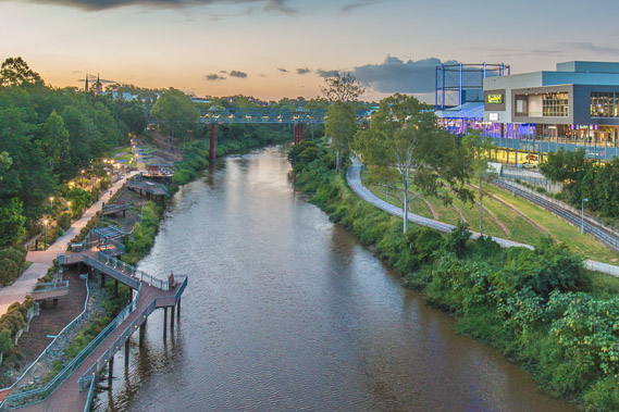
16:03 - The old railway bridge is no longer in service, so it is now used as a pedestrian bridge between the shopping centre and the inner city. |
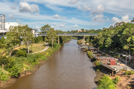 |
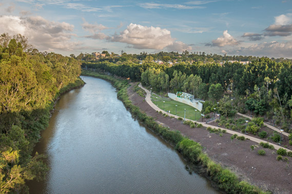
16:06 - Looking downstream from the bridge. I will explore the park to the right early tomorrow morning. |
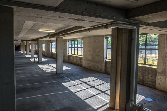 |
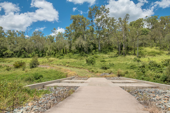
16:14 - The walkway ends in an abandoned car park, with the track passing through it. |
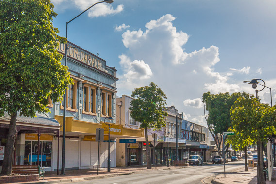 |
16:48 - Historic Ipswich. It was substantially built up in early days in anticipation of becoming the capital city of the newly established Queensland, but Brisbane was favoured due to being about seventy kilometres closer to the sea and the river there a lot deeper, wider and more navigable. Only small boats can reach this far upstream. |
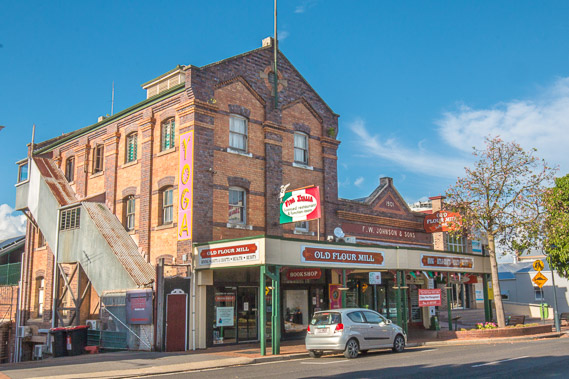 |
16:54 - The old flour mill built in 1901, milling flour until 1926 when it became a car showroom. The upper floor became a radio station some years later and it has had multiple uses over the years. |
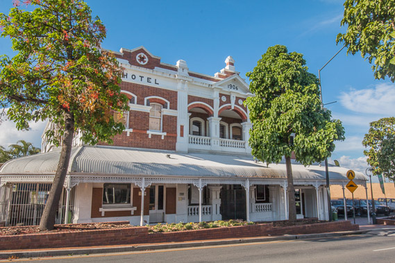 |
16:58 - A historic hotel, one of many buildings retaining its historical heritage. |
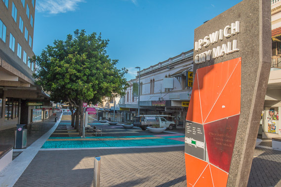 |
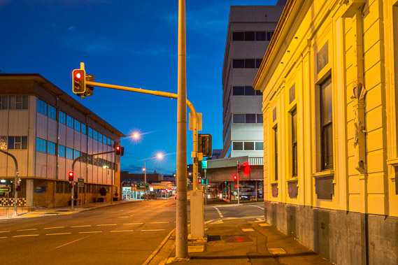
17:46 - The abandoned city mall (it's usually busy, but obviously not late on a Sunday afternoon). The streets are very quiet apart from a couple of obnoxious beggars. It's a total contrast to the bustling Brisbane. |
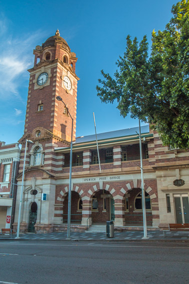 |
17:48 - Ipswich post office built in 1862, the centrepiece of what was supposed to be the capital city. |
 |
18:03 - Crossing the road bridge in the late afternoon back towards the northern bank of the Bremer River. Looking downstream where I'll be heading tomorrow morning, but I need to get to the other side of this road to watch the sunset. Around here was where the original settlement called "Limestone" was established when five convicts were relocated here from Brisbane in 1827 to work in a small lime works. |
 |
18:31 - On the other side of the bridge. All the buildings are well above the river as it rises over twenty metres in flood, and causes substantial flooding damage to the suburbs on either side. Unlike the Brisbane River, the Bremer River does not have any upstream dams to hold excess flood water. |
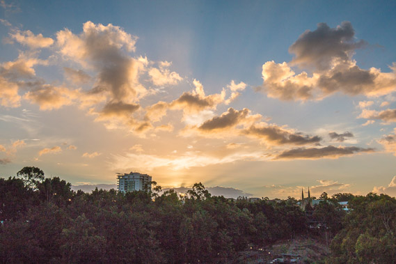 |
18:39 - The sun sets quietly to the west. Only a few buildings of the inner city stand above the trees. |
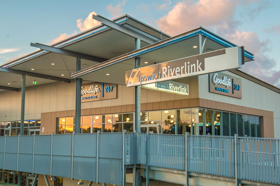 |
18:40 - The setting sun reflects on the shopping centre. |
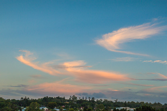 |
18:50 - High clouds hover above the rolling countryside as darkness begins to sweep in. |
 |
19:03 - The lights come on in the parks on either side of the river as the sky darkens. |
 |
19:18 - The main street of Ipswich. |
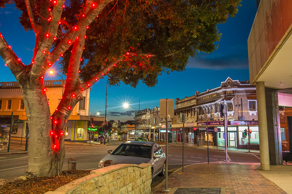 |
19:42 - Finally some Christmas decorations on a solitary tree overlooking the historic main road. |
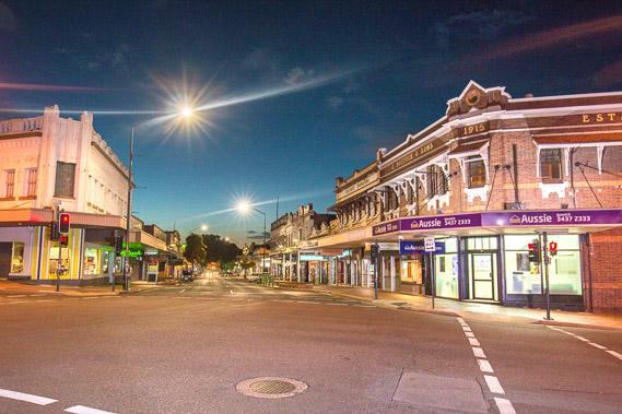 |
19:45 - Last view of the very quiet historic town before retreating to the safety of indoors. |
|