Introduction to Brisbane River
THE BRISBANE River is the biggest river draining into Australia's east coast. Flowing from the Great Dividing Range to the west, its vast headwaters gather in the enormous Wivenhoe Dam before entering a gorge passing Ipswich to meander its way around the hills of Brisbane suburbia. From there it slowly drains with the tides into Moreton Bay, once a fertile plain now inundated by the meltwater of the last ice age. Such a significant river in a large sheltered bay was the ideal location to build a new settlement as the New South Wales colony expanded in the early 19th century.
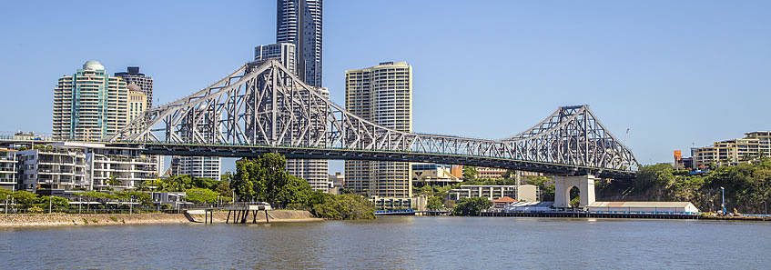
Today's Brisbane River is a busy waterway with private and public transport boats moving along its meandering channels navigable for over 90 kilometres all the way up to its tidal limit in the Ipswich area. The port warehouses and terminals of the lower river give way to prized real estate up both banks for much of its length, broken only by the occasional park reserve and golf course in some of the more flood prone areas.
From a little upstream of the Gateway Bridge, I follow the river's southern bank upstream to the City, and remain on its bank up to as far as the Indooroopilly golf course before cutting across some of the meanders with occasional views of the river where possible until reaching its tidal limit at Colleges Crossing. From there I head across to Ipswich and follow the Bremer River downstream to where it meets the Brisbane River, and continue downstream all the way to its mouth near Fisherman Island before cutting across the mangroves to the mouth of Wynnum Creek, covering a total distance of 150 kilometres - the longest leg of this trek.
|