This week in South East Queensland
19 - 25 November
MUCH of South East Queensland's prime land is waterfront along the coast. The coast of Moreton Bay north of the city is quite an exception from this rule. Vast areas of swampy wetland are uninhabitable due to frequent flooding from high tides and heavy rain events. The heavy summer rains haven't come yet, so late spring is a good time to explore the wetlands. They should still be relatively dry despite a few recent big storms providing enough moisture to spring the undergrowth into life.
Today's hike takes me from the Shorncliffe Pier, heading across the vast Boondall Wetlands to Nudgee Beach, then heads inland along Kedron Brook bypassing the airport and across a couple of suburbs to the Brisbane River.
Today's Journey
Distance hiked today: 36.6km
Total distance hiked to date: 395.8km
 |
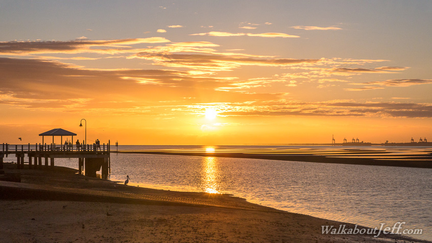
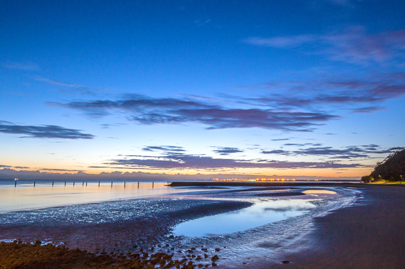
03:09 - Back on Shorncliffe Pier before dawn followiing an overnight storm. |
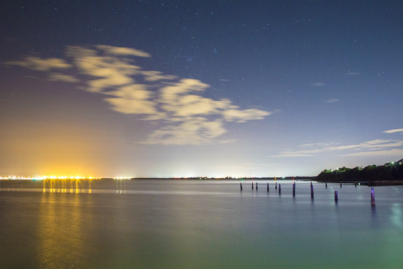 |
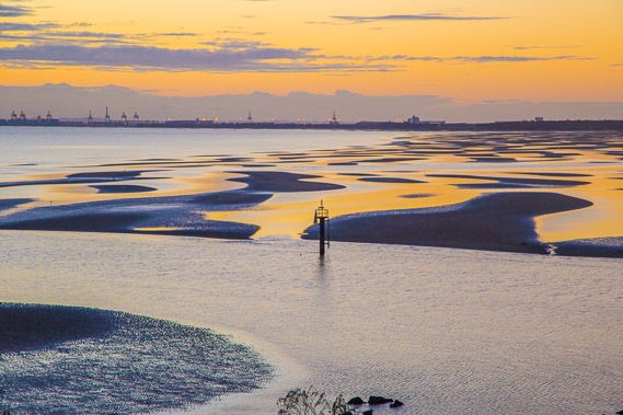
03:13 - Bright lights of the port of Brisbane as the last of the clouds quickly shuffle eastward. |
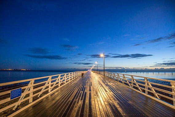 |
03:43 - The first light of dawn breaks as I return to shore. The lights of Redcliffe Peninsula are visible to the left. |
 |
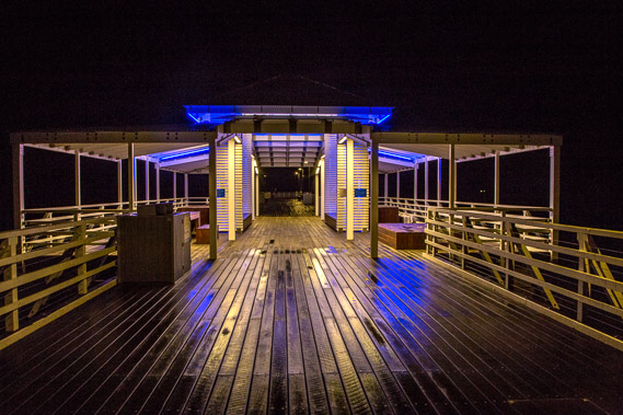
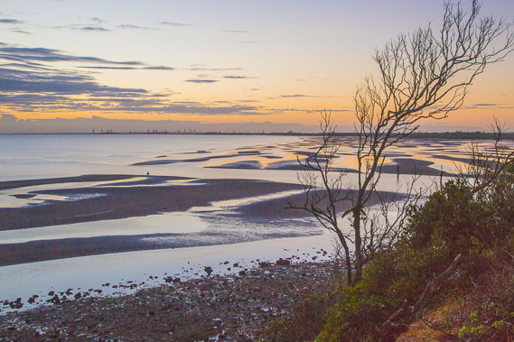
04:04 - Looking over the sand flats from the start of the Shorncliffe Pier to the remains of the old pier. I need to start now as there's quite a bit of ground to make up for lost time in recent days. |
 |
04:31 - I head across the top of the small hill of the Shorncliffe Peninsula. Looking across the mud flats at the mouth of Cabbage Tree Creek. |
 |
04:33 - Mouth of Cabbage Tree Creek looking towards the port of Brisbane. The brightly lit sky reflects in the pools left by the tide. |
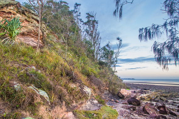 |
04:38 - Sandstone formation at the southern end of the Shorncliffe Peninsula. |
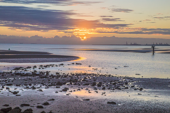 |
04:47 - The sun rises at the mouth of Cabbage Tree Creek. |
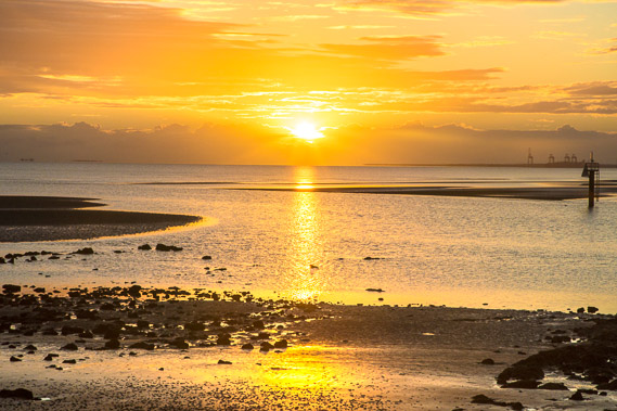 |
04:55 - Within moments, the sun spectacularly shines through a gap in the clouds. |
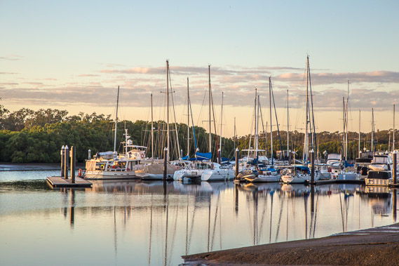 |
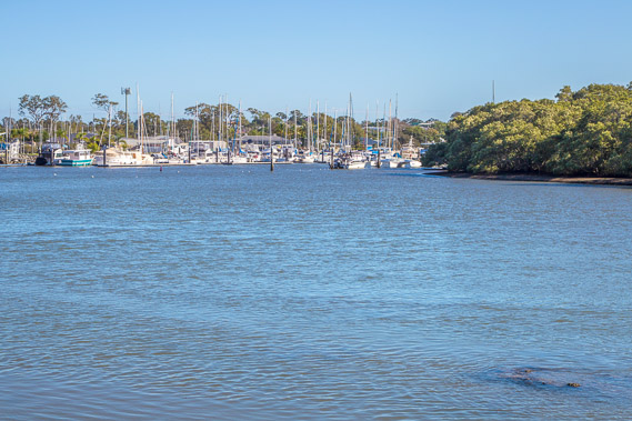
05:07 - I start heading upstream passing the Cabbage Tree Creek marina. |
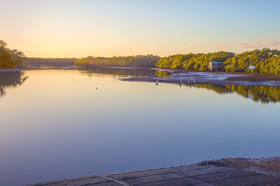 |
05:17 - Looking across from the end of the marina up Nundah Creek and the bird hide lookout on the Boondall Wetlands. |
 |
06:20 - Crossing Cabbage Tree Creek over the bridge near the motorway about another kilometre upstream. |
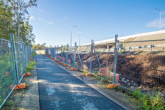 |
06:48 - Following the sealed track towards the Boondall Wetlands. It is fenced off due to a lot of upgrade work being done to the Gateway Motorway. The work has been going for a good seven years. |
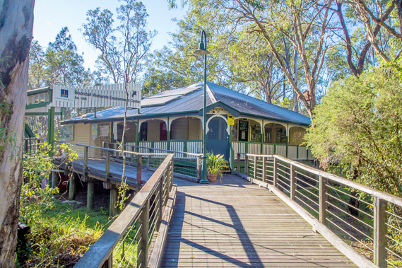 |
07:13 - Visitor centre at the start of the Boondall Wetlands tracks. The largest wetland area in Brisbane, 1100 hectares of internationally significant wetlands have been set aside as a reserve since 1990. |
 |
07:17 - Following the two kilometre long Billai dhagun circuit track back towards Cabbage Tree Creek. |
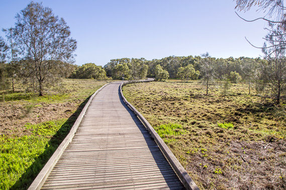 |
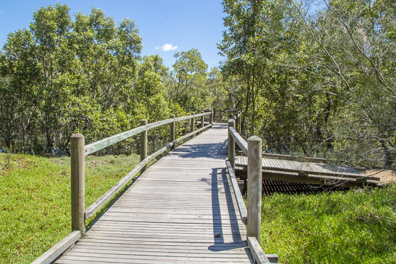
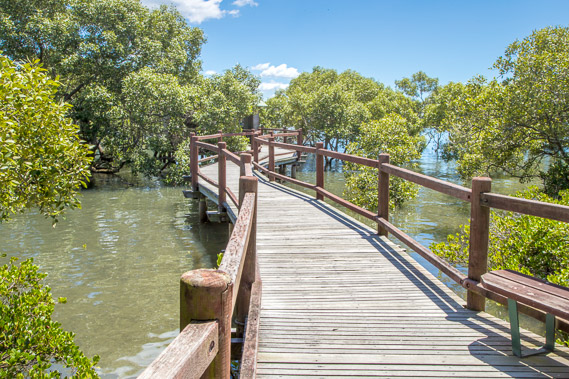
07:37 - Boardwalk crossing salt pan flats near Nundah Creek. |
 |
07:40 - View back to the Cabbage Tree Creek marina from the bird hide I had seen earlier this morning. |
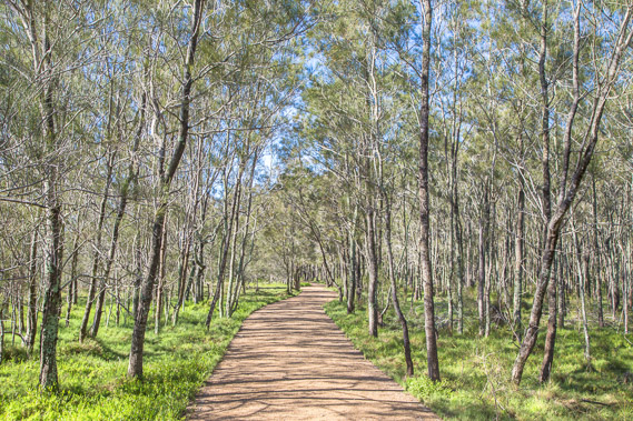 |
07:45 - Back on the main Billai dhagun track going through swampy wetland forest. |
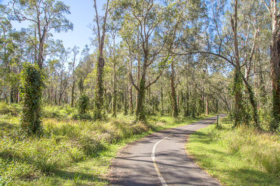 |
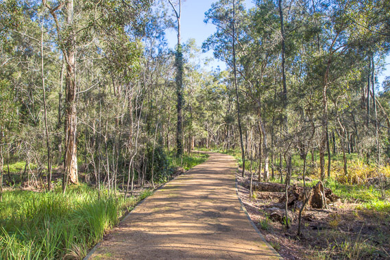
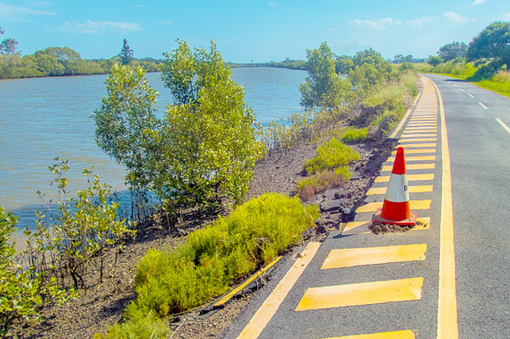
08:24 - Main cycle and pedestrian track winding 6.5 kilometres from the visitor centre through the forest towards Nudgee. Although the forest looks peaceful, a major motorway is just two hundred metres to the right. The booming traffic noise echoes unseen through the trees along the entire length of this track. |
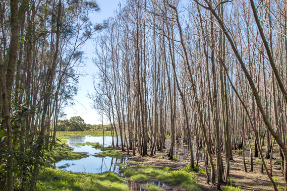 |
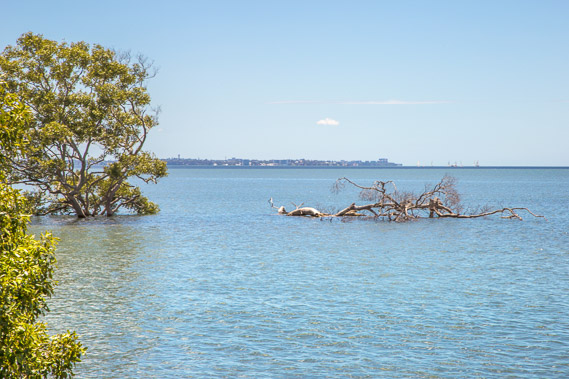
08:27 - Dead trees in a swampy section of the wetlands where the water level has risen in recent years. |
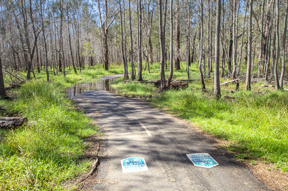 |
08:34 - Continuing along the track marked with indicators showing the distance to the information centre and to the Nudgee Beach road every two hundred metres. Heavy overnight rain has covered parts of the trail with water. |
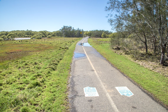 |
09:02 - The track now passes through patches of open grassland with the motorway still following close to the right. |
 |
09:05 - Crossing Nundah Creek over a high bridge as it continues upstream under the nearby motorway. |
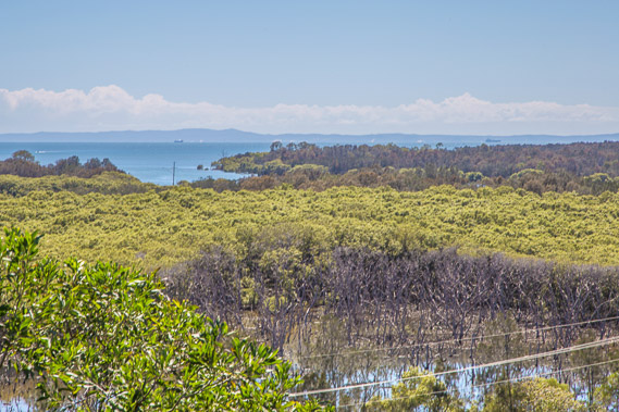 |
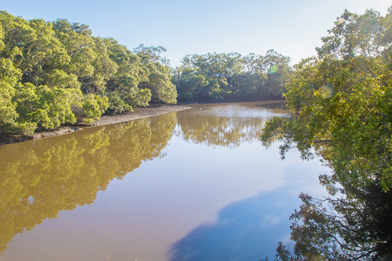
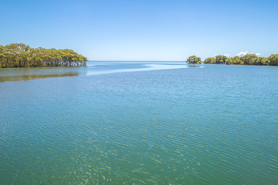
09:34 - About a kilometre south of the bridge the track rises over a low hill with a lookout at the top. This is the view from the lookout across to the mouth of the Kedron Brook and across to Moreton Island. |
 |
09:54 - Boardwalk over wetlands after descending the hill from the lookout. |
 |
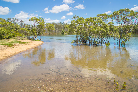
09:55 - Flooded wetland behind Nudgee Beach. The dark stripes crossing the mud are the tracks of where wading migratory birds have been. |
 |
09:58 - Reaching the end of the track at the Nudgee Beach Road. Although I'm still behind schedule and this is a long day, I follow this road into Nudgee Beach. |
 |
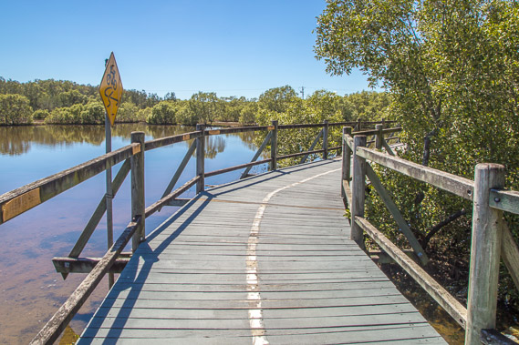
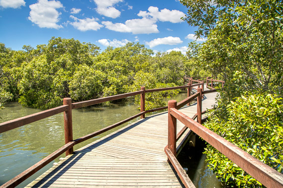
10:37 - Start of the Tabbil-ban dhagun boardwalk behind the Nudgee Beach village. |
 |
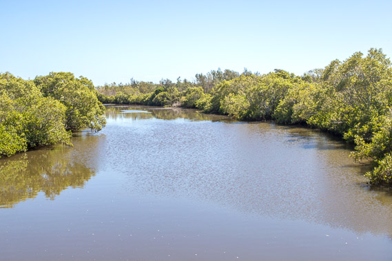
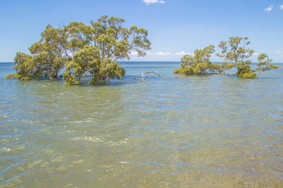
10:48 - The tide is completely in, flooding the creek and surrounding mangroves. |
 |
10:56 - Heading towards the mouth of the Nudgee Creek. |
 |
10:57 - Flooded beach with the full tide. |
 |
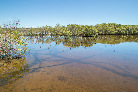
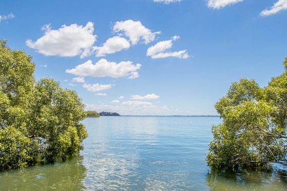
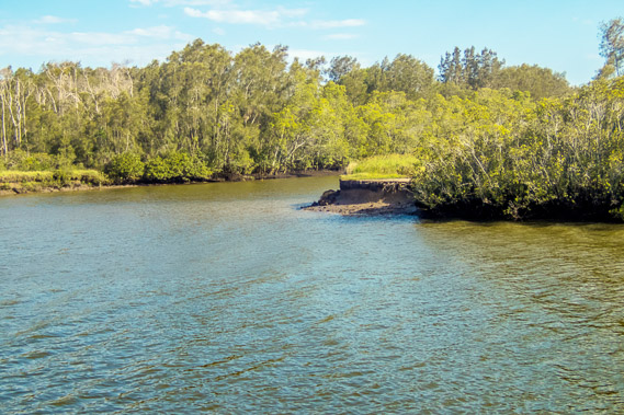
10:58 - Pristine water at the mouth of Nudgee Creek. |
 |
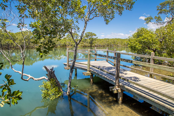
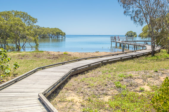
11:05 - Another boardwalk leaves the main track heading out into the water towards another bird hide. |
 |
11:07 - View from the bird hide. The Shorncliffe Peninsula is visible in the distance. |
 |
11:08 - Track back through the mangroves winding around towards Nudgee Beach. |
 |
11:21 - Looking out from the start of Nudgee Beach towards Redcliffe Peninsula. |
 |
11:59 - Mangroves on Nudgee Beach. The tide is in completely absorbing the beach up to the concrete wall. When the tide does go out, it leaves extensive sand flats similar to those I had seen early this morning at the mouth of Cabbage Tree Creek. |
 |
12:37 - I follow the beach until reaching Kedron Brook. The clouds have quickly come in from the south. The airport is across the brook, with a new runway soon to be constructed when the sand deposited on it settles. From here I need to follow Kedron Brook upstream to its tidal limit in Toombul, then cross over towards the Brisbane River. |
 |
13:12 - The last view of the mouth of Kedron Brook before the road draws away through the paperbark forest heading back to the motorway. |
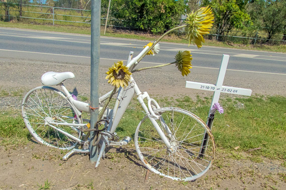 |
13:31 - A memorial to a cyclist killed here. |
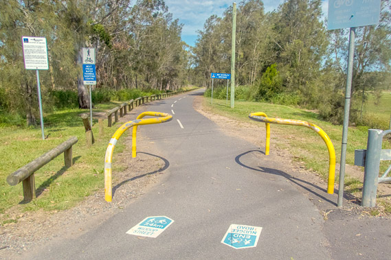 |
13:34 - Start of the seven kilometre Jim Soorley Bikeway/Walkway leaving the road through more wetlands. |
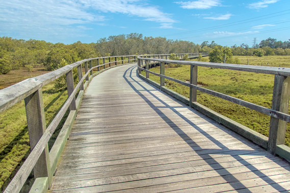 |
13:46 - The track turns to boardwalk as it heads around the edge of the Nudgee golf course and approaches the Kedron Brook. |
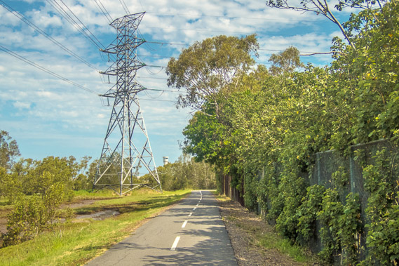 |
13:51 - I pass under a row of pylons and approach the airport. The control tower is now visible ahead. |
 |
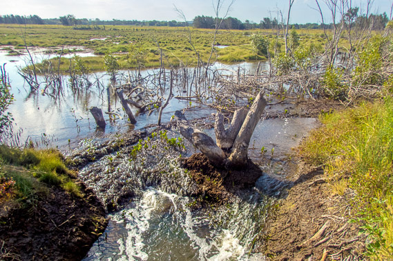
14:11 - Erosion on the creek from recent storms and high tides. The tide is dropping quickly. |
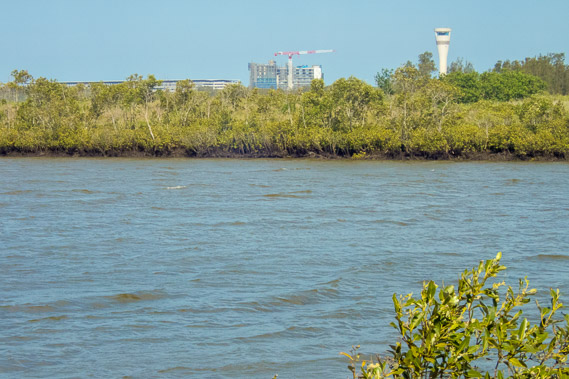 |
14:21 - View across the stream to the ever expanding Brisban Airport, the third busiest in Australia welcoming visitors from afar and serving as the launching pad to the large numbers of locals like myself venturing out into far flung places. |
 |
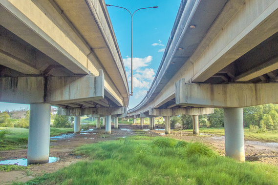
14:35 - Heading under the Gateway Motorway as a distant plane comes in to land. This road is a bypass allowing quick access between the Gold and Sunshine Coast cities without having to pass through Brisbane's sprawling city. |
 |
14:53 - The track continues following the wetlands towards the city. There are no signs of any buildings here despite the city being quite close and being several kilometres inland from the coast at Nudgee Beach. This land here is too swampy for development. |
 |
15:05 - Flooded field draining as the tide quickly drops. |
 |
15:08 - The stream splits into two canals as the tide significantly drops. These canals help to keep the otherwise swampy soil of Brisbane Airport as dry as possible. |
 |
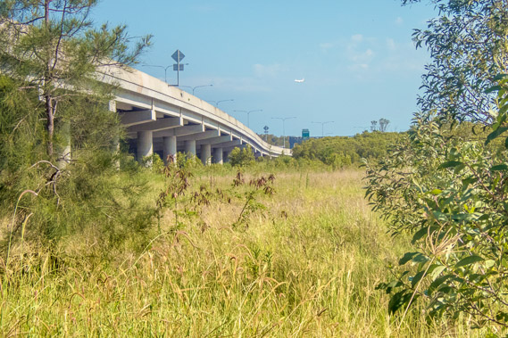
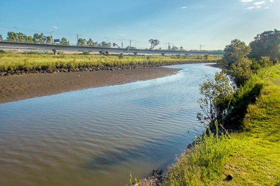
15:27 - Crossing under the new Southern Cross Motorway, built to take some of the load off the Gateway Motorway. The rush hour traffic roars overhead adding a lot of noise to the otherwise peaceful wetlands. |
 |
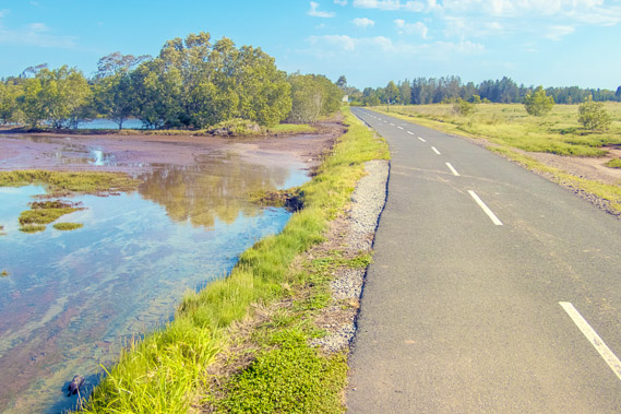
15:57 - Kedron Brook is a lot smaller than the wide canal at its mouth at Nudgee Beach. The tide is now mostly out. I am now about a kilometre short of the stream's tidal limit. The railway line servicing the airport passes on the other side of the stream. |
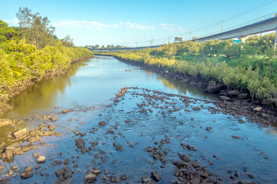 |
16:06 - Crossing the stream at a bridge just before the Toombul Shopping Centre. This is as far as the tide comes up, just covering these rocks on a big tide like today. |
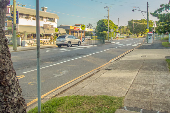 |
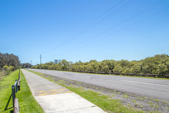
16:33 - From Toombul the track follows footpaths through Hendra and Doomben towards the Brisbane River. The airport blocks access to any coastline around here. There is little to see here apart from old roads with potholes and lots of old houses and small shopping centres. |
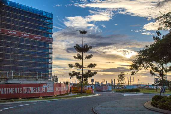 |
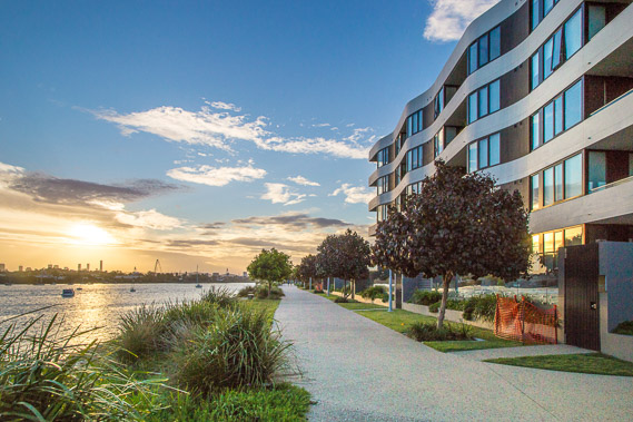
17:42 - Entering a new apartment block area as I approach the Brisbane River. New apartments are being built all through the city and especially along the riverfront. The high rises buildings of the city centre are now visible for the first time since Woody Point yesterday. |
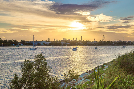 |
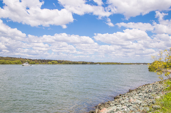
17:51 - Reaching the Brisbane River where the paved track will be following it upstream to beyond the city centre. This is as far downstream I can get on this side of the river with the track abruptly ending at a small mangrove stream with a large golf course on the other side. From here, it looks like the sun will be setting right behind the city. |
 |
17:52 - I follow the track a short distance downstream past new apartments to watch the sunset after a long walk. This is the place to live if you like river sunsets. This has been a long hike today, but I've now made up for lost ground reaching the river. |
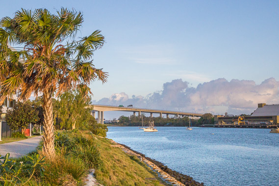 |
17:57 - Looking downstream to the Gateway Bridge, where the motorways I have been following cross the river. The golf couse separates this location from the bridge, but I will be able to explore the bridge when I come down the other side of the river in 6 days' time. |
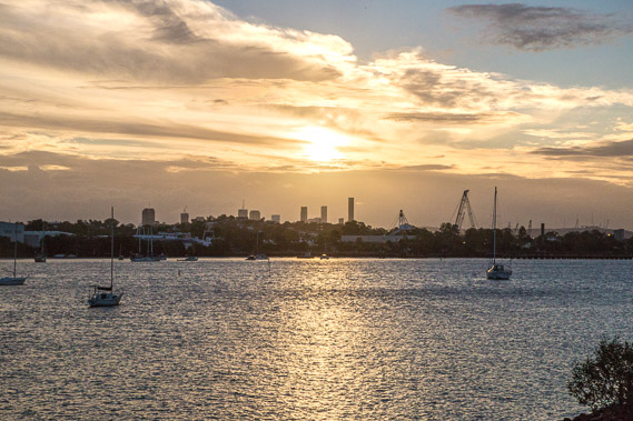 |
17:59 - The sun setting behind the city. There is a naval base directly across the river, with low hills obscurring most buildings. |
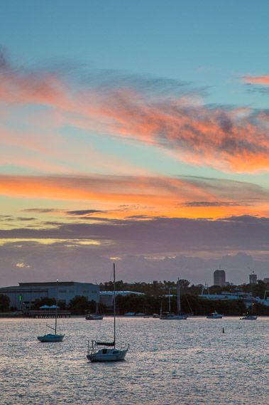 |
18:33 - Spectacular evening high cloud over the river after the sun set 11 minutes ago. |
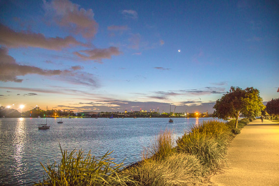 |
19:03 - Lights come on in the naval base across the river, and in the city. I'm hoping to be very close to the city this time tomorrow to get an excellent view of the city lights. The path is illuminated and the low clouds glow a strange brown colour reflecting the city lights. |
|