This week in South East Queensland
7 - 13 January
WITH Christmas and New Year over, the holiday season continues with many people still away, making the most of it before many return to work next week. Not all industries are quiet though. The travel and transport industries are still working, with the ports and airports at their busiest for the year, as has been the case since Brisbane was first settled as a small remote penal colony. Now Brisbane is a major city, the port and airport are very busy bringing in people and goods from all around the world. This week (on the 11th) also marks the latest sunset of the year at 6:47PM.
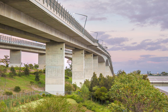
Today's hike takes me back over the Gateway Bridge, and takes me up towards the port. Before reaching the port, I explore Fort Lytton, once the port's military base at a time when all goods and people arrived by sea. From there I explore the port, taking a boat trip out to the mouth of the river (no walking tracks there), before heading across the Wynnum Wetlands to the mouth of the Wynnum Creek, marking the end of 26 days of hiking, half the time along the 52 day trek towards the bottom of the Gold Coast.
Today's Journey
Distance hiked today: 10.0km
Total distance hiked to date: 578.2km
 |
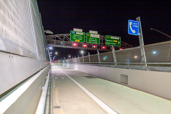
03:44 - Starting the long walk over the Gateway Bridge to continue my trek along the southern bank of the river towards its mouth. |
 |
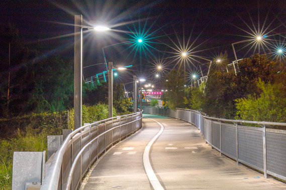
03:51 - Heading over the bridge in the wired cage once more feeling like going through a maximum security facility. |
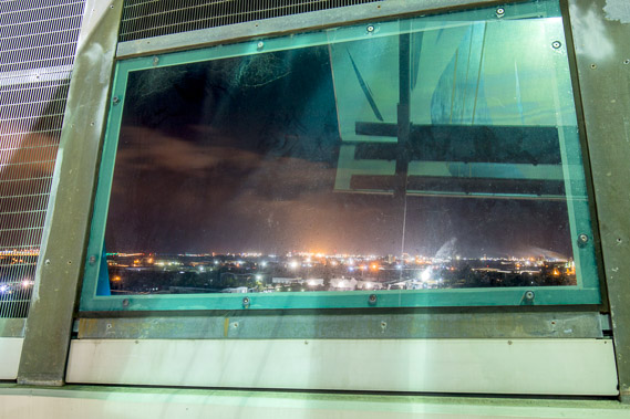 |
04:03 - The windows overlooking the river are so dirty it is impossible to get any good shots through them. They hardly thought of photographers when they built this walkway. |
 |
04:26 - The view (or lack thereof) from the centre window of the sky beginning to get light. The price we all pay for a few idiots who thought jumping off the bridge was a good idea. |
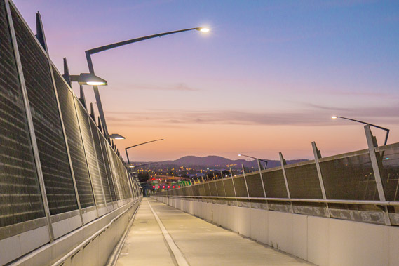 |
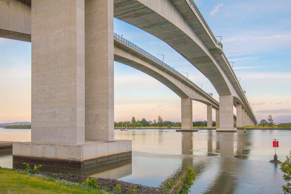
04:38 - The sky shows beautiful pastel colours as the bridge slopes down moderately towards the end on the southside. |
 |
04:48 - Looking over the top of countless warehouses on the southside. The port starts here and goes to as far as the mouth of the river. |
 |
04:59 - Following the path off the bridge back to under it as the sun rises behind the clouds. I hear a cruise ship is soon to arrive. |
 |
05:28 - Back on the calm waters of the river. I need to find a good vantage point to make up for the complete lack of views on top of the bridge. |
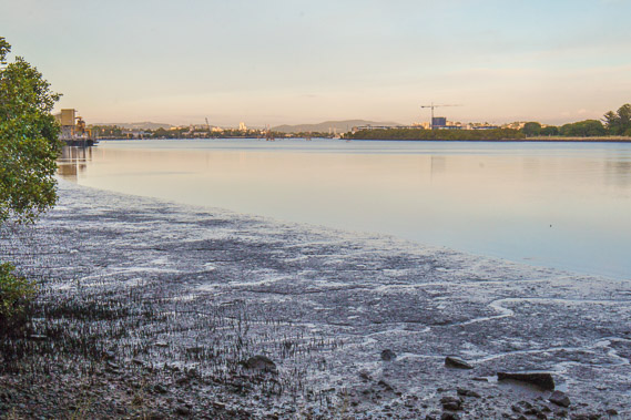 |
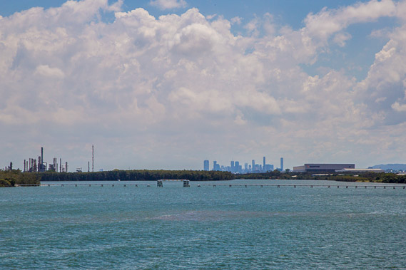
05:41 - Looking upstream towards the cruise terminal and city. The tide is out leaving gaping mud banks. |
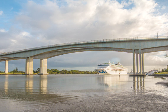 |
06:29 - The cruise ship arrives slowly making its way through the shallow waters of the river. |
 |
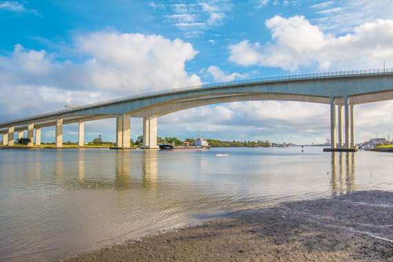
06:30 - It is a tight fit under the bridge. |
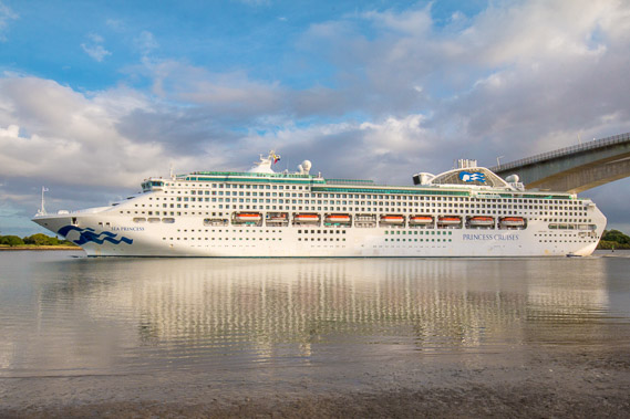 |
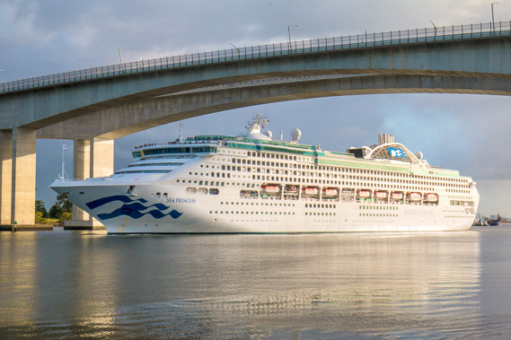
06:31 - The ship reflects nicely in the calm waters of the river. On board are hundreds of caged tourists. |
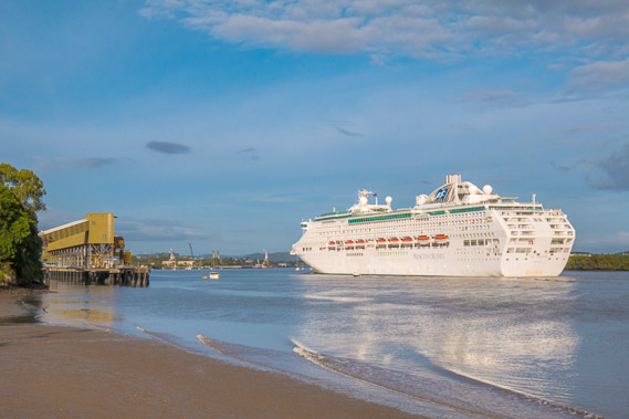 |
06:34 - The wake of the ship breaks on the muddy shore as it passes heading towards its port. |
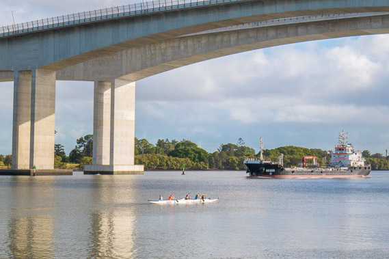 |
06:58 - A row boat and a small freighter cross under the bridge. |
 |
06:59 - Time to head along the path towards the port. From here there are no more river views for quite a long time. |
 |
10:39 - I eventually reach the entrance to Fort Lytton, once the military base to defend Brisbane from hostile arrivals. |
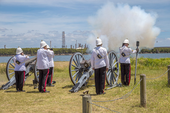 |
11:01 - I'm fortunate to be at the fort on the day of a demonstration. Here they are setting off a couple of the smaller channels across the river. The airport is on the other side. |
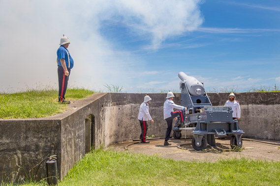 |
11:12 - The big cannon goes off with a huge bang. |
 |
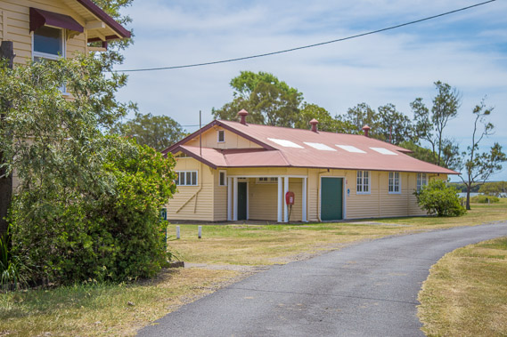
11:21 - The hidden bunker village where the soldiers were based. |
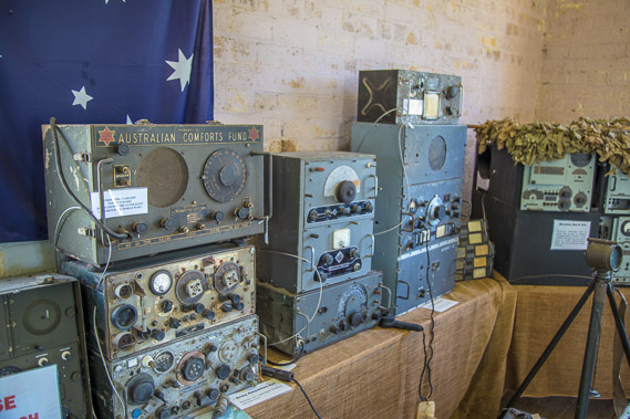 |
11:28 - Some of the communications equipment used and left here in the bunkers. |
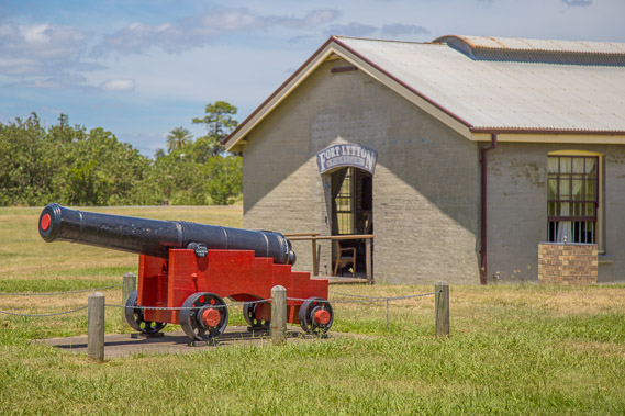 |
11:30 - One of the original cannons used in the battle of Waterloo, and with several others brought here to Brisbane. One is in the Gardens Point Botanical Gardens, and rumour has it I'll see another one tomorrow. |
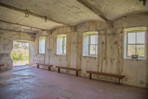 |
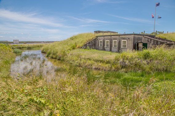
12:06 - Inside one of the mostly underground bunkers. |
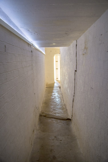 |
12:21 - An underground tunnel to one of the guns. |
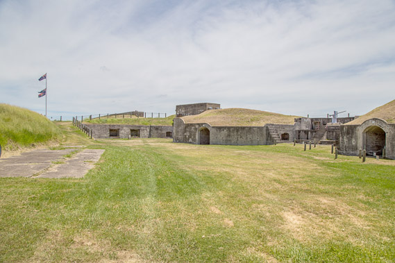 |
12:34 - The hidden village of hobbit holes. This village is almost completely invisible from the river on the other side. |
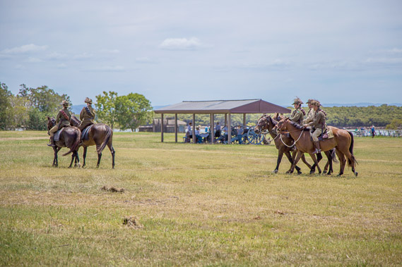 |
12:50 - Soldiers riding horses as they did back in the days of the fort. From here I return to the main road and head towards Fisherman Island at the mouth of the river. |
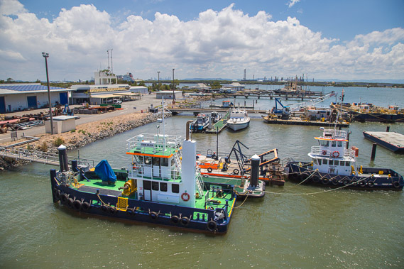 |
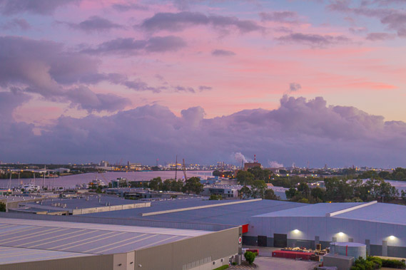
14:57 - There is only so far I can get out the mouth of the river. Most of the land here is occupied by the petrochemical and logistics companies, so I have to explore the mouth of the river by boat. Here are a few of the little tug boats ready to bring in the ships at the next high tide which is very soon. |
 |
15:25 - A ship docked with coal being loaded into it. |
 |
15:26 - View back upstream towards the city, now quite distant. |
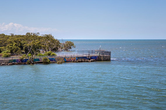 |
15:28 - One of the heads at the mouth of the river, looking towards Nudgee Beach. |
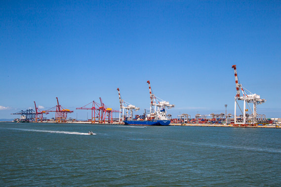 |
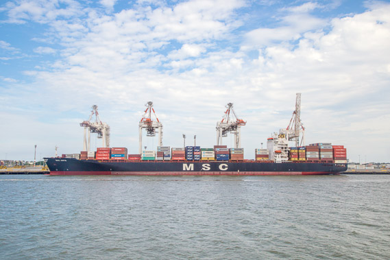
15:30 - The huge cranes on Fisherman Island at the mouth of the river on the other side which goes for quite a bit further out in the bay. |
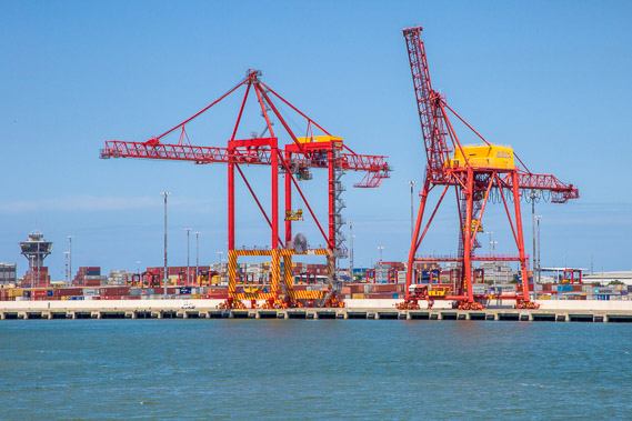 |
15:31 - Hovering cranes awaiting the next container ship. |
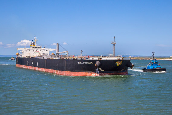 |
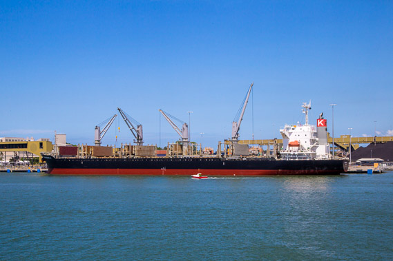
15:34 - A full oil tanker being led into port to contribute to Brisbane's pollution. |
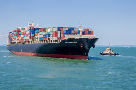 |
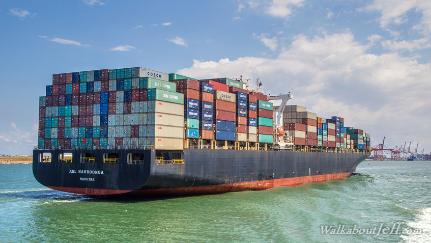
15:37 - A large container ship follows coming in on the tide with a tug boat turning to capture it and guide it to its berth. |
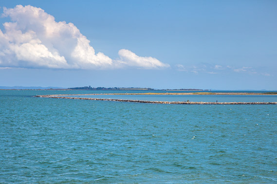 |
15:39 - Rock walls at the outer end of Fisherman Island. Here I am over 90 kilometres downstream from Ipswich and Colleges Crossing back in Moreton Bay. Mud Island and historic St Helena Island sit in the distance along the southern Brisbane coast I'll be following over the coming days. |
 |
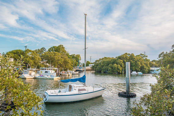
15:44 - Passing a docked ship as I return to the little port. |
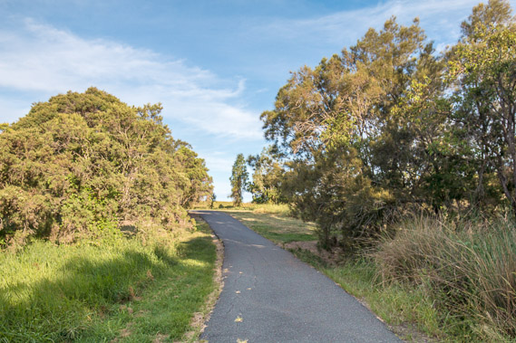 |
17:29 - From the port it is a short hike to a sealed walkway towards the Wynnum wetlands. |
 |
17:34 - A birdhide looking over the wetlands. |
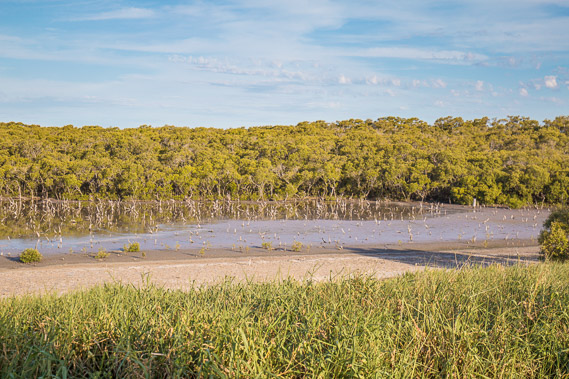 |
17:40 - The wetlands in the late afternoon. |
 |
17:43 - Cirrus clouds now pass overhead over ten kilometres overhead so I'm hoping for a good sunset. |
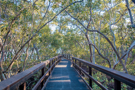 |
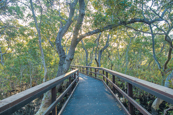
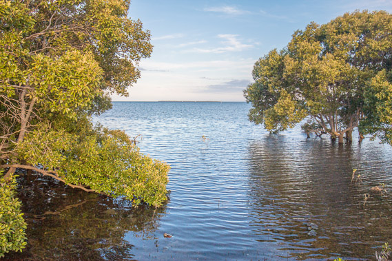
17:46 - Following the boardwalk through the mangroves of the Wynnum Wetlands. |
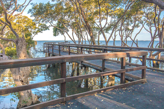 |
17:48 - A side boardwalk heads to a gap in the mangroves to give a clear view along the coast. |
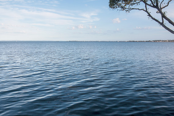 |
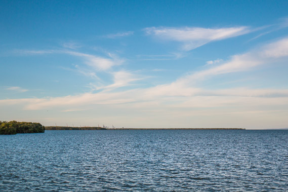
17:55 - Looking down the long flat coast I'll be following over the next leg of this trek towards the far end of the bay at Southport, still a long way over the horizon. The terrain from here on looks very flat. |
 |
18:02 - Following more of the boardwalk as the sun sinks low towards the horizon. |
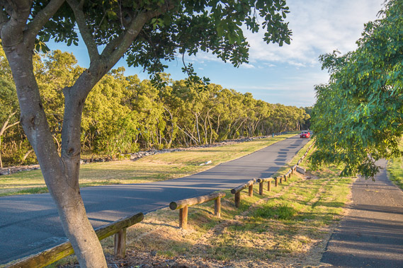 |
18:21 - Parklands through Wynnum after the boardwalk. |
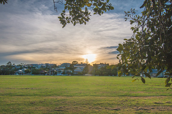 |
18:31 - The sun drops behind the low hills where the quiet residential houses of Wynnum sit. |
 |
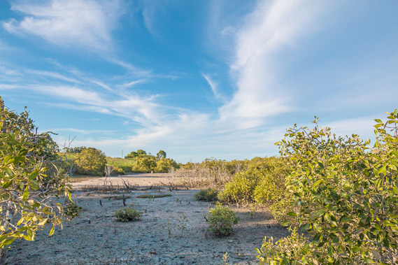
18:37 - A vew through the mangroves towards the very flat Mud Island. |
 |
18:47 - A bit further along the coast I can now see back to Fisherman Island and the cranes over the port as the sun sets behind me. |
 |
18:58 - I reach Wynnum Creek. The sun has set but there's still plenty of light. This is as far as this leg going up and down the Brisbane River takes me. From tomorrow I'm officially doing the Southern Brisbane leg heading towards the Gold Coast. |
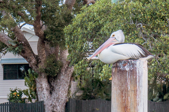 |
19:11 - A pelican rests on top of an old pile in the creek ready to go to sleep. |
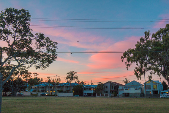 |
19:23 - Looking back towards the Brisbane River as some of the clouds go colourful and lots of bats suddenly appear out of the trees for their rounds for the night. |
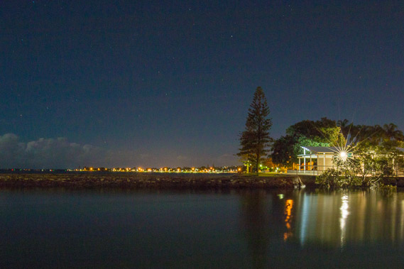 |
20:09 - Darkness falls over the mouth of Wynnum Creek. |
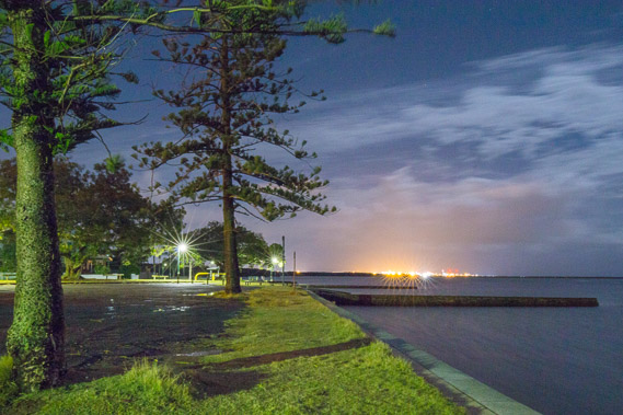 |
20:44 - The park as darkness falls. |
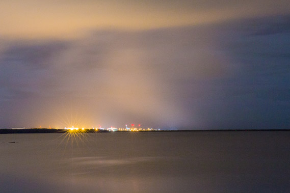 |
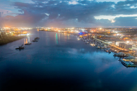
21:08 - Zooming in to the port as the bright lights play with the cloud overhead, my final view of the extensive river I've been following up and down over the past six days. Timewise, I've also reached the half way point of this trek, with just another twenty six days to go. |
|