|
||||||||||||||||||
|
||||||||||||||||||
Home > Diaries > 2010 > 233 |
||||||||||||||||||
|
||||||||||||||||||
|
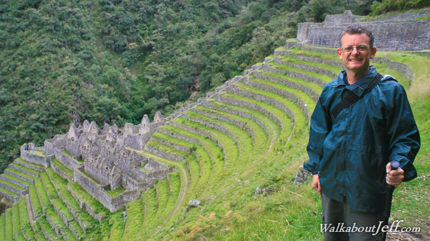
HAVING crossed the three passes of the Inca Trail, the track started its 1400 metre descent towards Machu Picchu. The subalpine grasslands gave way to mist enshrouded cloud forest, the start of the Amazon jungle. It was still cold up here at over 3000 metres above sea level. The granite mountains were impossibly steep, cutting very deep gorges into the mountains. These cloud forests in the near vertical terrain was the last place you would expect anyone would even think of running a farm. However the Inca set up small farms on these slopes. They created terraces and took advantage of the microclimates to grow crops to feed those who worked and visited Machu Picchu now just a few hours away. Blog from today: Trek from today: |
||||||||||||||||||
|
||||||||||||||||||