Date:
Location:
Country:
Latitude:
Longitude:
Altitude:
21 - 22 May 2010
Kinabatangan Malaysia
5°25'N 117°58'E 12-91m ASL
Google Maps Link
Prologue << Start here
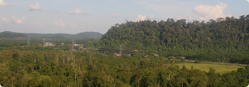
Village under a Bridge
Downstream by Longboat into the Jungle
Monkeys of the Kinabatangan
The Darkness of the Jungle Night
Dawn Enshrouded in a Cocoon of Fog
Return to Modern Tribal Civilisation
Tomb of the Chiefs above the Jungle
Experiencing Jungle Culture
Epilogue