desktop view
|
Travel Diary
|
|
Blogs
|
Treks
|
Home
>
Treks
>
Stewart
Stewart Island
Date:
Location:
Country:
Latitude:
Longitude:
Altitude:
17 - 21 February 2009
Stewart Island
New Zealand
47°S
168°E
0 - 1000m ASL
Google Maps Link
Prologue
<< Start here
Day 1 - To Stewart Island
Foveaux Strait in a flying Combie Van
Quiet Hamlet at the End of the World
Day 2 - Ulva Island
Island of Friendly Birds
Exploring the Island
The remote Southern Side
Telephone in a Tree
Day 3 - Across the Island
Walk beside the Inlet
Flight to remote Mason Bay
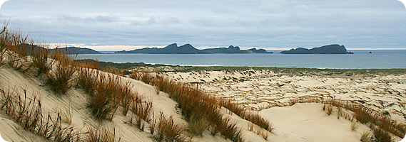
Exploring the Dunes
Days 4-5 - And Back Again
Chocolate Swamp
Return to Oban
Three Flights Home
Epilogue
Blog from today:
Stewart Island
Home
|
Travel Diary
|
|
Blogs
|
Treks
|
Who is Walkabout Jeff?
Follow Walkabout Jeff
© walkaboutjeff.com
Copyright
-
Disclaimer